


GEOSPATIAL FRONTIERS
A Publication by Project Geospatial
LOOKING BEYOND
THE MAP
Geospatial Frontiers, a new publication from Project Geospatial, brings together leading voices and experts from across the geospatial ecosystem to tackle the industry's most pressing challenges. Through in-depth articles and discussions, Geospatial Frontiers aims to explore innovative solutions and spark critical conversations that will shape the future of geospatial technology and its applications.
CONTRIBUTING AUTHORS

Adam Simmons

Keith Barber

Fred Woods

Matthew Husted

Chris Vaughan
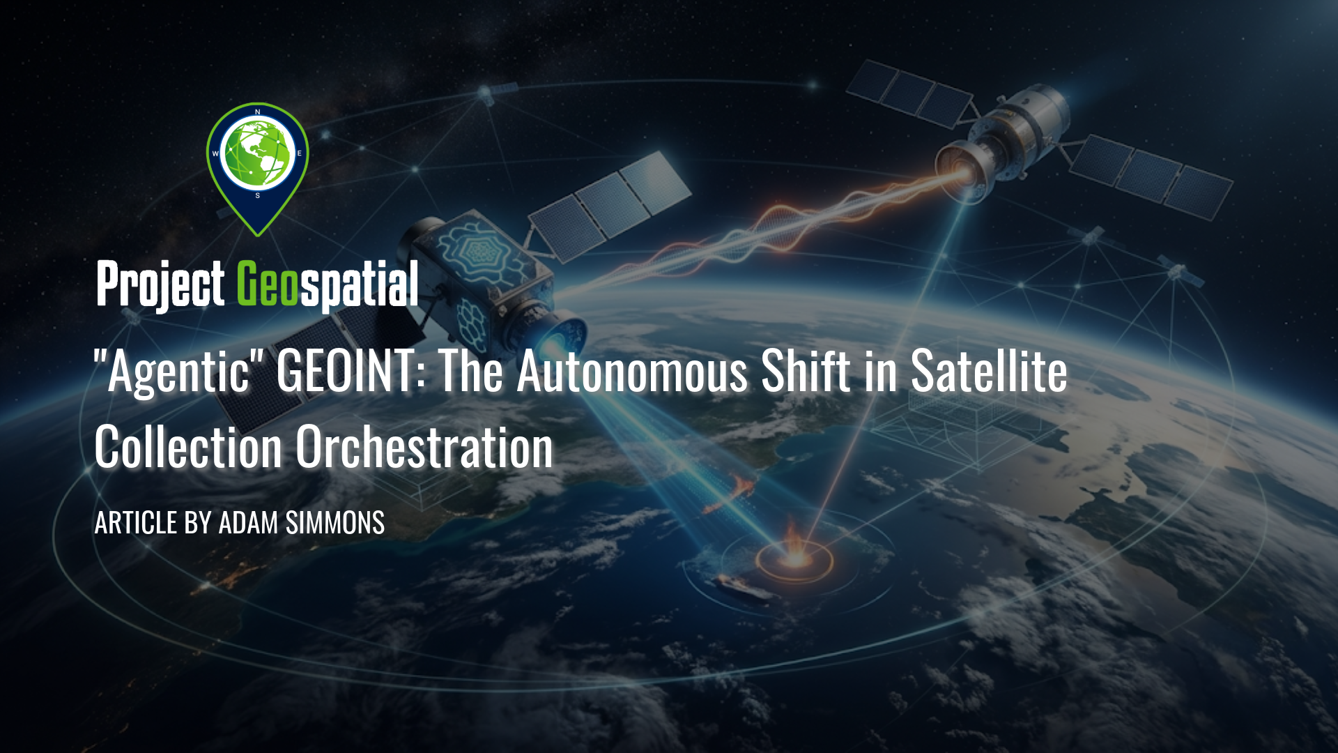
"Agentic" GEOINT: The Autonomous Shift in Satellite Collection Orchestration
Discover how Agentic GEOINT is revolutionizing the geospatial intelligence industry by shifting from manual satellite dashboards to autonomous, AI-driven orchestration. This comprehensive article explores the mechanics of automated "tip-and-cue" workflows, in-orbit edge computing, and the critical transition to a "Human-on-the-Loop" operational model. Read on to learn how agentic AI eliminates costly human bottlenecks to create a real-time, unified sensing network for commercial and defense applications.

Beyond the Map: A First-Timer’s Journey into the GEOINT Ecosystem
Explore a newcomer's journey into the geospatial intelligence ecosystem at the GEOINT Symposium 2026. Former Project Geospatial intern Jessica Calloway shares her firsthand experience on how emerging tech, cutting-edge GeoAI, and a welcoming culture of mentorship are shaping diverse career paths. Discover how the GEOINT community is transforming massive data into actionable clarity and opening doors for fresh perspectives in this Geospatial Frontiers exclusive.
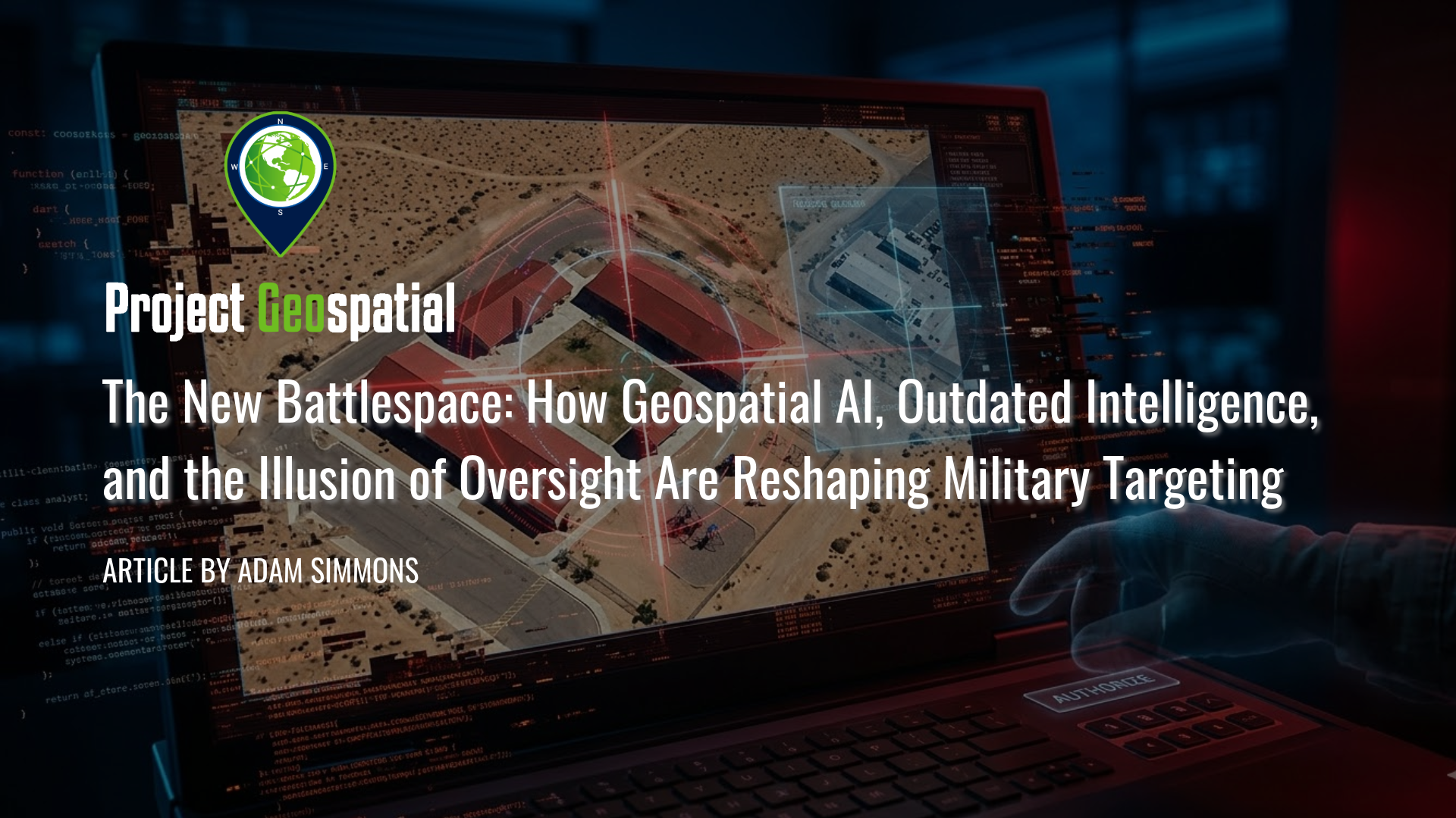
The New Battlespace: How Geospatial AI, Outdated Intelligence, and the Illusion of Oversight Are Reshaping Military Targeting
In this critical analysis of the new algorithmic battlespace, we explore how Geospatial AI and scaling failures are driving catastrophic military targeting errors. Prompted by the tragic civilian strike in Minab, Iran, this article dissects the fatal intersection of Defense Intelligence Agency (DIA) database rot, the outdated Modernized Integrated Database (MIDB), and automated kill chains. Discover how the military's aggressive push for AI target generation has fundamentally broken the "human-in-the-loop" safeguard, reducing traditional intelligence vetting to an illusion of oversight. By examining the psychological toll of cognitive offloading and automated bureaucracy, we reveal why overwhelming human analysts with algorithmic output doesn't just risk mass civilian casualties and fratricide, it weaponizes administrative failure.
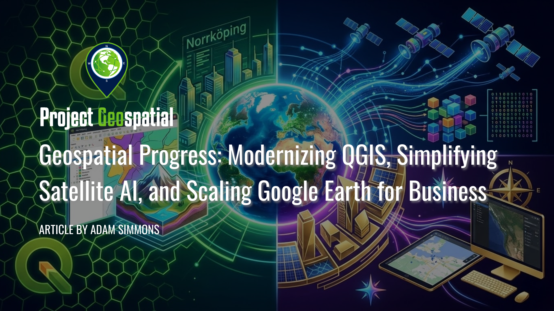
Geospatial Progress: Modernizing QGIS, Simplifying Satellite AI with Alpha Earth, and Scaling Google Earth for Business
The geospatial industry witnessed a transformative week with three major announcements that bridge the gap between open-source legacy and AI-driven enterprise intelligence. Leading the charge is the long-awaited release of QGIS 4.0 "Norrköping," a massive structural leap that migrates the premier open-source desktop GIS to the Qt6 framework for superior performance and security. Simultaneously, Google DeepMind unveiled its 2025 AlphaEarth Foundations update, introducing 64-dimensional satellite embeddings that allow developers to "see through" cloud cover and decode complex planetary variables with unprecedented mathematical precision. Finally, Google Earth officially transitioned into a powerful business ecosystem with the launch of its Professional and Professional Advanced tiers, integrating Gemini-powered "agentic" AI and domain-specific data layers for high-stakes urban planning and sustainability workflows. Together, these releases signal a new era where raw planetary data is no longer a bottleneck but an analysis-ready instrument for global decision-making.
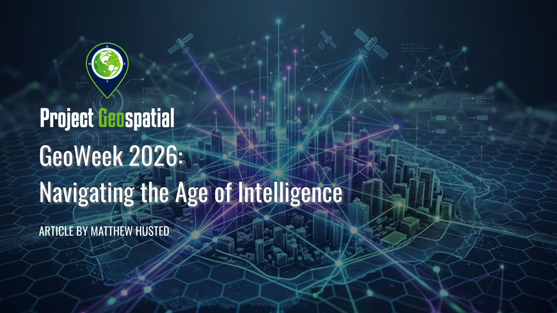
Geo Week 2026: Navigating the Age of Intelligence
Step inside Geo Week 2026 as the geospatial industry shifts from static GIS to dynamic Spatial Intelligence. From the latest advancements in AI and Reality Capture to navigating the industry's 'Workforce Paradox,' explore one veteran's journey into the future of the built world and learn why in-person networking remains the ultimate key to launching your geospatial career.

Deploying Wireless Sensor Networks: Enabling Scalable Intelligence in Contested Environments
Modern defense operations face a critical intelligence gap in contested environments, where high-value ISR assets are too risky to deploy and Open Source Intelligence (OSINT) lacks verifiable ground truth. This article proposes a scalable framework for air-dropped Wireless Sensor Networks (WSNs) that utilizes low-cost, "attritable" COTS technology to deliver continuous, 24/7 situational awareness without risking personnel. By functioning as a tactical verification layer, these sensor swarms validate OSINT data streams and provide the persistence that satellites and manned aircraft cannot maintain. We demonstrate how this hardware integrates seamlessly with existing GEOINT ecosystems—including BAE Systems GXP, Esri ArcGIS, and DCGS-A—to close the loop between edge detection and multi-INT fusion. Discover how leveraging swarm doctrine and commercial innovation creates a cost-effective, "fire-and-forget" intelligence architecture capable of dominating future battlefields

Cesium Developer Conference 2025: A Glimpse into the Geospatial Future, Reshaping Industries Worldwide
Explore the future of 3D geospatial innovation as charted at the Cesium Developer Conference in Philadelphia. This comprehensive recap covers groundbreaking advancements in open standards like 3D Tiles and glTF, the transformative impact of AI and Gaussian Splatting on reality capture, and the widespread adoption of digital twins in industries ranging from AEC and defense to climate resilience. Discover how Cesium's ecosystem—from CesiumJS and the Cesium ion cloud platform to powerful runtime plugins for Unreal Engine—is empowering over 400 innovators worldwide to build a more connected and intelligent virtual world
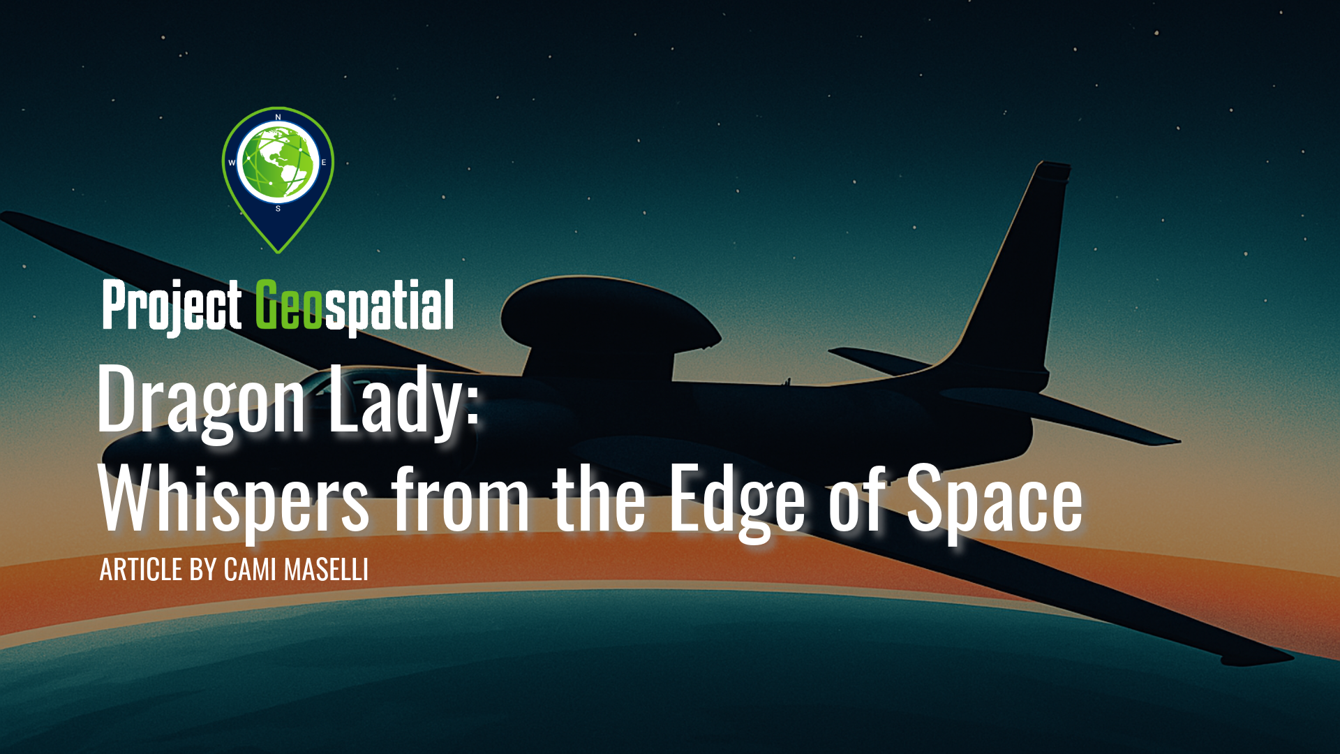
Dragon Lady: Whispers from the Edge of Space
From the inky blackness at the edge of space, a slender silhouette patrols the upper atmosphere, a silent sentinel against the gentle curvature of the Earth. This is the domain of the Lockheed U-2, an aircraft known by the mythical moniker "Dragon Lady". For nearly seven decades, from the iciest depths of the Cold War to the complex surveillance demands of the 21st century, this visionary aircraft has been a constant, often unseen, factor in global geopolitics.
Born from a desperate need to peer behind the Iron Curtain, the U-2 was a high-stakes gamble. Its story is one of groundbreaking technological leaps forged in secrecy at Lockheed's legendary Skunk Works, but it is equally a story of profound human endeavor. Discover the incredible skill and courage required of its pilots, who flew solo for hours at over 70,000 feet, navigating the razor-thin margin of the "coffin corner" while sealed inside an early spacesuit.
Go behind the scenes of the U-2's most dramatic moments: the audacious first flights over the Soviet Union that dispelled the myth of a "bomber gap" ; the international crisis sparked when Francis Gary Powers was shot down in 1960 ; and the harrowing thirteen days in October 1962, when U-2 photographs of Soviet missiles in Cuba brought the world to the brink of nuclear war. How has an aircraft conceived in the 1950s remained an indispensable asset well into the digital age? Read on to explore the tapestry of innovation, high-stakes drama, and indomitable human spirit that defines the enduring legacy of the Dragon Lady.

A Visionary's Legacy: Celebrating Landsat 7 (1999-2025)
Today marks the final, quiet farewell to Landsat 7, a satellite that has tirelessly served as humanity's eye on Earth for over a quarter-century. Its incredible 2.5 million images have not only documented our planet's vital pulse – from receding glaciers to changing forests – but have also empowered countless discoveries and deepened our understanding of our world. As it drifts into its final, silent orbit, we honor its unparalleled service and the dedication of the countless individuals who guided its mission, ensuring its legacy of environmental insight endures.

Nation at a Crossroads: FY2026 Budget Proposal Threatens to Dismantle U.S. Geospatial Supremacy, Risking Economic and Infrastructural Integrity
A stark vision for America's fiscal future now casts an ominous shadow, as the proposed Fiscal Year 2026 budget threatens a veritable demolition of non-defense federal capabilities, launching an unprecedented assault on the agencies underpinning our nation's world-leading geospatial infrastructure with a staggering $163 billion targeted for removal from base non-defense spending . This plan strikes at the heart of essential government functions, and even as it calls for "unprecedented increases for defense" , the National Geospatial-Intelligence Agency (NGA) faces a deep paradox: its direct appropriations may rise, but devastating cuts to civilian partners like NOAA, NASA, and USGS threaten to hamstring its operational effectiveness, potentially forcing NGA to divert its own increased budget to backfill widening data gaps and maintain "GEOINT Supremacy" with a critically weakened foundational support system. The reverberations are already palpable, and as the geospatial community prepares for the annual GEOINT Symposium in St. Louis, all eyes will be on leaders like NGA Director Vice Admiral Frank Whitworth and Director of National Intelligence Tulsi Gabbard, as an industry on edge desperately seeks clarity and a beacon of confidence to navigate these profoundly troubled times.