


GEOSPATIAL FRONTIERS
A Publication by Project Geospatial
LOOKING BEYOND
THE MAP
Geospatial Frontiers, a new publication from Project Geospatial, brings together leading voices and experts from across the geospatial ecosystem to tackle the industry's most pressing challenges. Through in-depth articles and discussions, Geospatial Frontiers aims to explore innovative solutions and spark critical conversations that will shape the future of geospatial technology and its applications.
CONTRIBUTING AUTHORS

Adam Simmons

Keith Barber

Fred Woods

Matthew Husted

Chris Vaughan
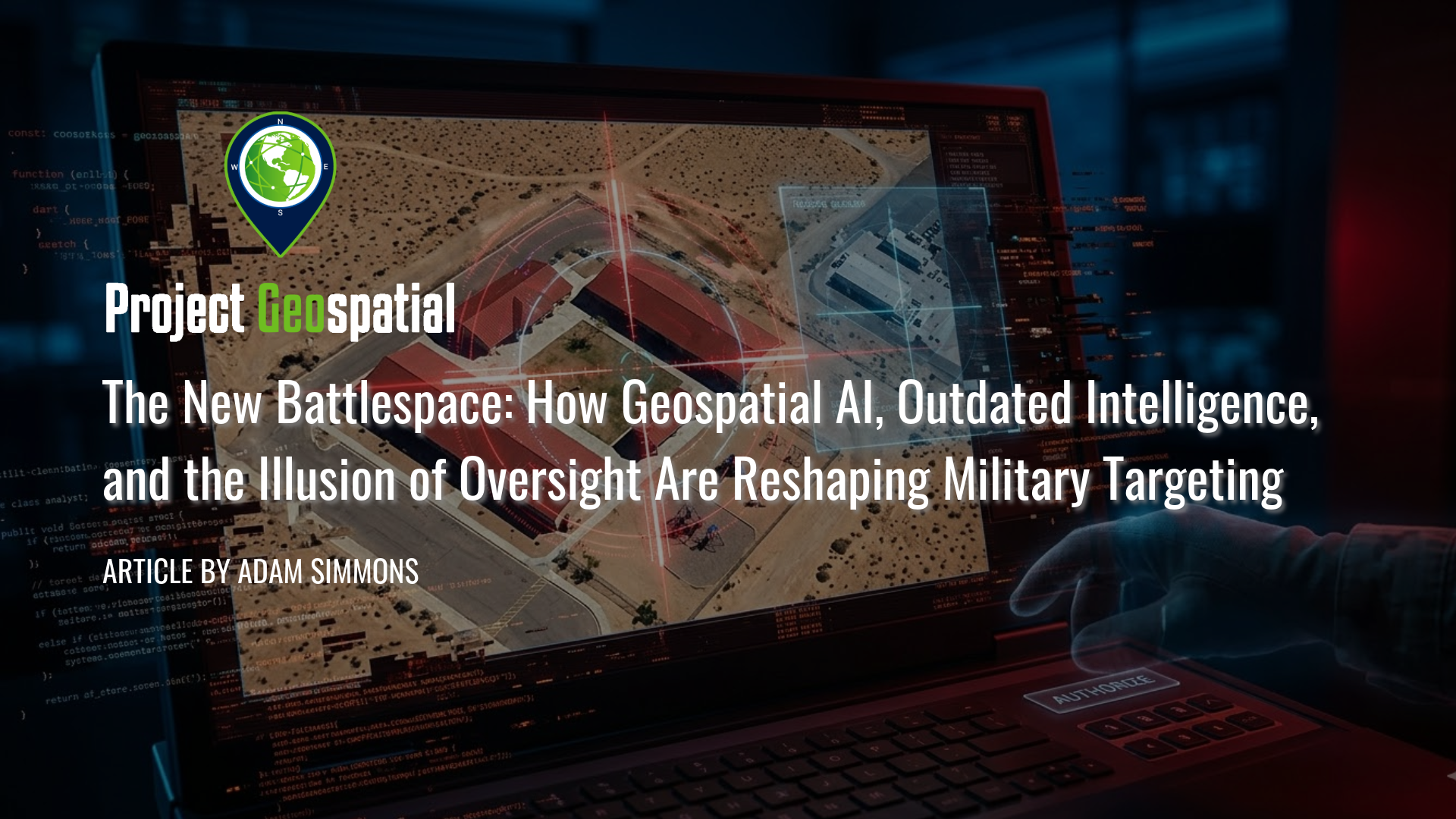
The New Battlespace: How Geospatial AI, Outdated Intelligence, and the Illusion of Oversight Are Reshaping Military Targeting
In this critical analysis of the new algorithmic battlespace, we explore how Geospatial AI and scaling failures are driving catastrophic military targeting errors. Prompted by the tragic civilian strike in Minab, Iran, this article dissects the fatal intersection of Defense Intelligence Agency (DIA) database rot, the outdated Modernized Integrated Database (MIDB), and automated kill chains. Discover how the military's aggressive push for AI target generation has fundamentally broken the "human-in-the-loop" safeguard, reducing traditional intelligence vetting to an illusion of oversight. By examining the psychological toll of cognitive offloading and automated bureaucracy, we reveal why overwhelming human analysts with algorithmic output doesn't just risk mass civilian casualties and fratricide, it weaponizes administrative failure.
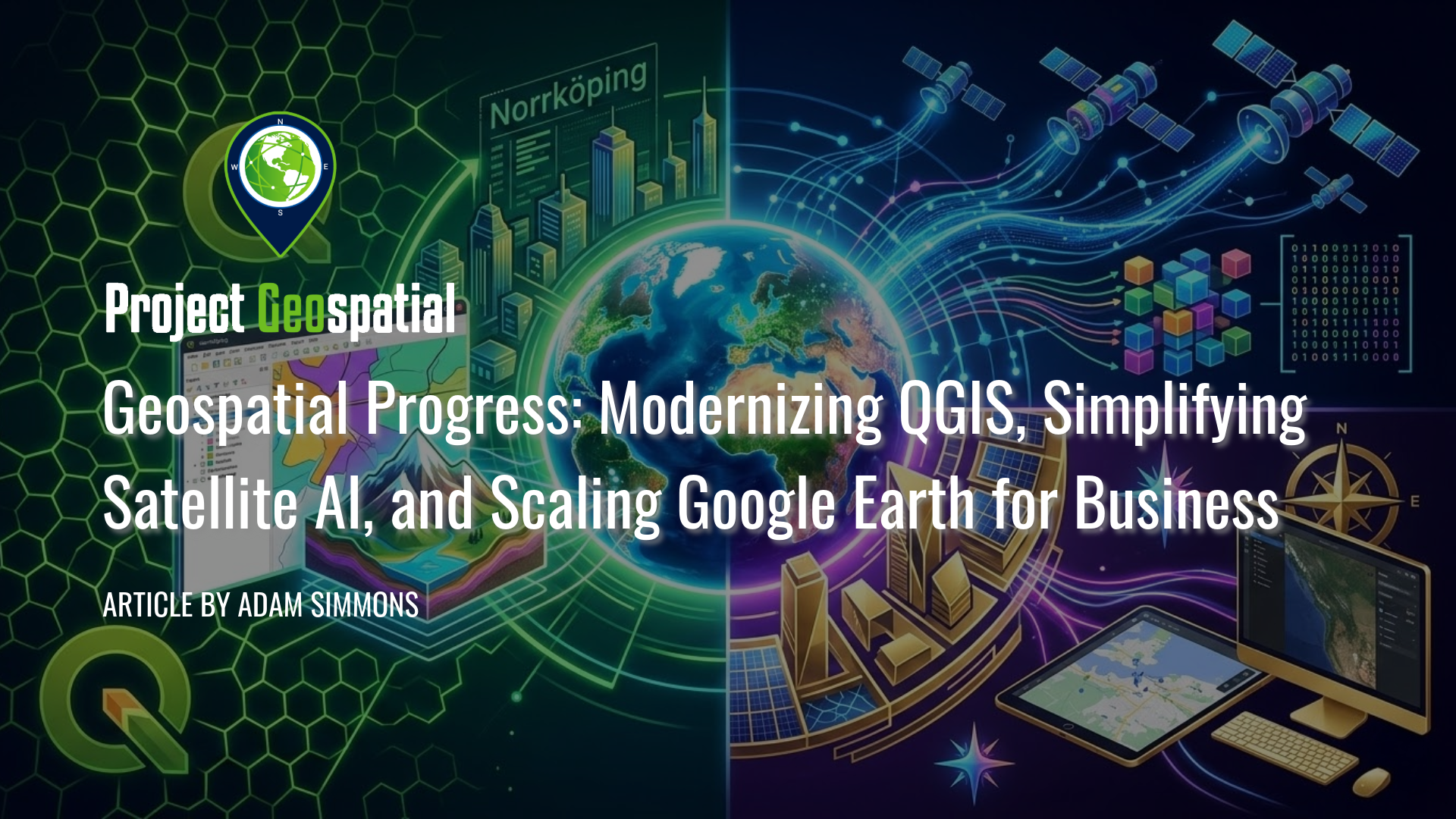
Geospatial Progress: Modernizing QGIS, Simplifying Satellite AI with Alpha Earth, and Scaling Google Earth for Business
The geospatial industry witnessed a transformative week with three major announcements that bridge the gap between open-source legacy and AI-driven enterprise intelligence. Leading the charge is the long-awaited release of QGIS 4.0 "Norrköping," a massive structural leap that migrates the premier open-source desktop GIS to the Qt6 framework for superior performance and security. Simultaneously, Google DeepMind unveiled its 2025 AlphaEarth Foundations update, introducing 64-dimensional satellite embeddings that allow developers to "see through" cloud cover and decode complex planetary variables with unprecedented mathematical precision. Finally, Google Earth officially transitioned into a powerful business ecosystem with the launch of its Professional and Professional Advanced tiers, integrating Gemini-powered "agentic" AI and domain-specific data layers for high-stakes urban planning and sustainability workflows. Together, these releases signal a new era where raw planetary data is no longer a bottleneck but an analysis-ready instrument for global decision-making.

Deploying Wireless Sensor Networks: Enabling Scalable Intelligence in Contested Environments
Modern defense operations face a critical intelligence gap in contested environments, where high-value ISR assets are too risky to deploy and Open Source Intelligence (OSINT) lacks verifiable ground truth. This article proposes a scalable framework for air-dropped Wireless Sensor Networks (WSNs) that utilizes low-cost, "attritable" COTS technology to deliver continuous, 24/7 situational awareness without risking personnel. By functioning as a tactical verification layer, these sensor swarms validate OSINT data streams and provide the persistence that satellites and manned aircraft cannot maintain. We demonstrate how this hardware integrates seamlessly with existing GEOINT ecosystems—including BAE Systems GXP, Esri ArcGIS, and DCGS-A—to close the loop between edge detection and multi-INT fusion. Discover how leveraging swarm doctrine and commercial innovation creates a cost-effective, "fire-and-forget" intelligence architecture capable of dominating future battlefields
Cesium Developer Conference 2025: A Glimpse into the Geospatial Future, Reshaping Industries Worldwide
Explore the future of 3D geospatial innovation as charted at the Cesium Developer Conference in Philadelphia. This comprehensive recap covers groundbreaking advancements in open standards like 3D Tiles and glTF, the transformative impact of AI and Gaussian Splatting on reality capture, and the widespread adoption of digital twins in industries ranging from AEC and defense to climate resilience. Discover how Cesium's ecosystem—from CesiumJS and the Cesium ion cloud platform to powerful runtime plugins for Unreal Engine—is empowering over 400 innovators worldwide to build a more connected and intelligent virtual world