


GEOSPATIAL FRONTIERS
A Publication by Project Geospatial
LOOKING BEYOND
THE MAP
Geospatial Frontiers, a new publication from Project Geospatial, brings together leading voices and experts from across the geospatial ecosystem to tackle the industry's most pressing challenges. Through in-depth articles and discussions, Geospatial Frontiers aims to explore innovative solutions and spark critical conversations that will shape the future of geospatial technology and its applications.
CONTRIBUTING AUTHORS

Adam Simmons

Keith Barber

Fred Woods

Matthew Husted

Chris Vaughan
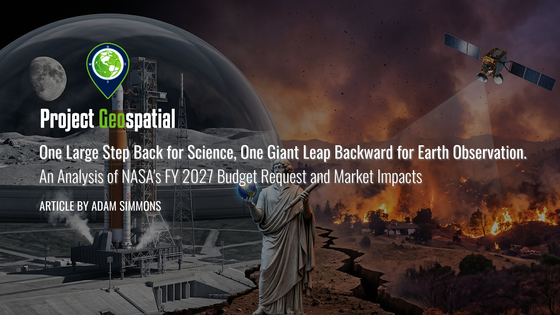
One Large Step Back for Science, One Giant Leap Backward for Earth Observation. An Analysis of NASA's FY 2027 Budget Request and Market Impacts
As federal priorities pivot from terrestrial observation to the Artemis lunar missions and Martian exploration, the geospatial and aerospace industries face a defining inflection point. This analysis explores how the proposed NASA FY 2027 budget’s "deep space first" strategy is dismantling traditional Earth Science funding models, forcing a rapid transition toward commercialized data solutions and decentralized satellite constellations. Discover how these strategic shifts in Earth Observation appropriations are reshaping the future of climate modeling, domestic infrastructure, and the global competitive landscape for aerospace manufacturing.
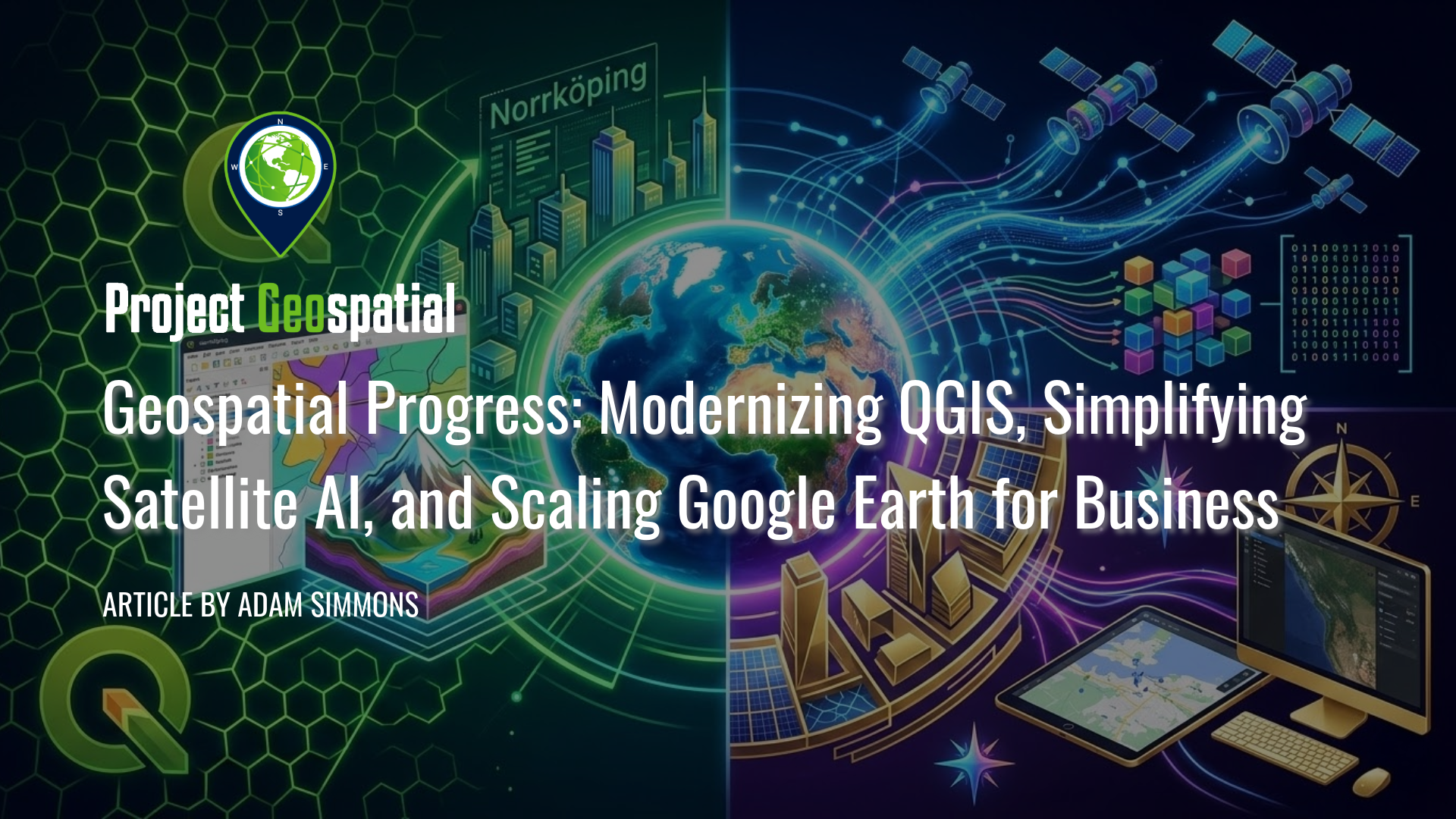
Geospatial Progress: Modernizing QGIS, Simplifying Satellite AI with Alpha Earth, and Scaling Google Earth for Business
The geospatial industry witnessed a transformative week with three major announcements that bridge the gap between open-source legacy and AI-driven enterprise intelligence. Leading the charge is the long-awaited release of QGIS 4.0 "Norrköping," a massive structural leap that migrates the premier open-source desktop GIS to the Qt6 framework for superior performance and security. Simultaneously, Google DeepMind unveiled its 2025 AlphaEarth Foundations update, introducing 64-dimensional satellite embeddings that allow developers to "see through" cloud cover and decode complex planetary variables with unprecedented mathematical precision. Finally, Google Earth officially transitioned into a powerful business ecosystem with the launch of its Professional and Professional Advanced tiers, integrating Gemini-powered "agentic" AI and domain-specific data layers for high-stakes urban planning and sustainability workflows. Together, these releases signal a new era where raw planetary data is no longer a bottleneck but an analysis-ready instrument for global decision-making.
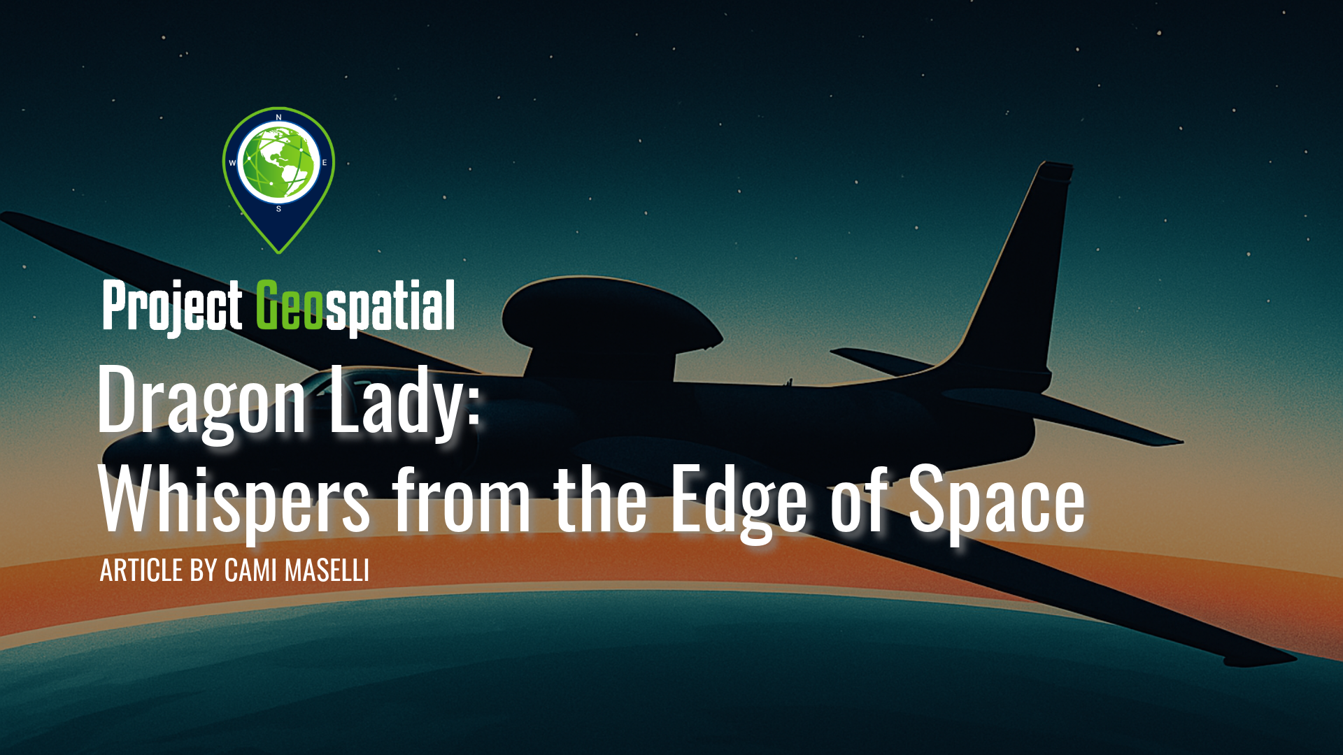
Dragon Lady: Whispers from the Edge of Space
From the inky blackness at the edge of space, a slender silhouette patrols the upper atmosphere, a silent sentinel against the gentle curvature of the Earth. This is the domain of the Lockheed U-2, an aircraft known by the mythical moniker "Dragon Lady". For nearly seven decades, from the iciest depths of the Cold War to the complex surveillance demands of the 21st century, this visionary aircraft has been a constant, often unseen, factor in global geopolitics.
Born from a desperate need to peer behind the Iron Curtain, the U-2 was a high-stakes gamble. Its story is one of groundbreaking technological leaps forged in secrecy at Lockheed's legendary Skunk Works, but it is equally a story of profound human endeavor. Discover the incredible skill and courage required of its pilots, who flew solo for hours at over 70,000 feet, navigating the razor-thin margin of the "coffin corner" while sealed inside an early spacesuit.
Go behind the scenes of the U-2's most dramatic moments: the audacious first flights over the Soviet Union that dispelled the myth of a "bomber gap" ; the international crisis sparked when Francis Gary Powers was shot down in 1960 ; and the harrowing thirteen days in October 1962, when U-2 photographs of Soviet missiles in Cuba brought the world to the brink of nuclear war. How has an aircraft conceived in the 1950s remained an indispensable asset well into the digital age? Read on to explore the tapestry of innovation, high-stakes drama, and indomitable human spirit that defines the enduring legacy of the Dragon Lady.
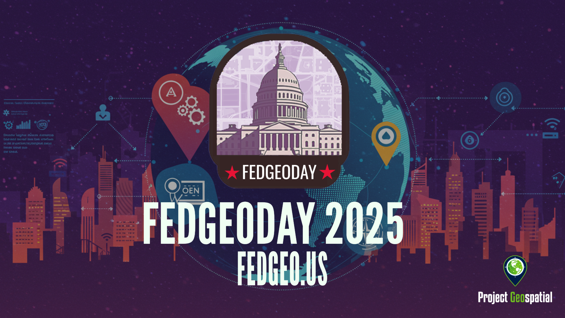
Open Source Geospatial Takes Center Stage for Resilience at FedGeoDay 2025
FedGeoDay 2025, held April 22nd in Washington D.C., was a packed and energized convergence of over 200 geospatial experts dedicated to a vital mission: building resilience through open source tools and data. Project Geospatial's coverage of the event revealed a community deeply committed to collaboration, showcasing everything from NASA's critical Earth observation data applications and foundational government datasets like USGS's 3DAP to the complexities of AI reliability, the dynamics of open data initiatives like OpenStreetMap and Overture Maps, and the necessity of robust cybersecurity. The day underscored the immense potential of open geospatial solutions in facing increasing challenges and the collective effort required to harness their power for societal benefit. The palpable energy and high turnout signaled a community ready to tackle complex problems together, leveraging open platforms for a more resilient future.