


GEOSPATIAL FRONTIERS
A Publication by Project Geospatial
LOOKING BEYOND
THE MAP
Geospatial Frontiers, a new publication from Project Geospatial, brings together leading voices and experts from across the geospatial ecosystem to tackle the industry's most pressing challenges. Through in-depth articles and discussions, Geospatial Frontiers aims to explore innovative solutions and spark critical conversations that will shape the future of geospatial technology and its applications.
CONTRIBUTING AUTHORS

Adam Simmons

Keith Barber

Fred Woods

Matthew Husted

Chris Vaughan
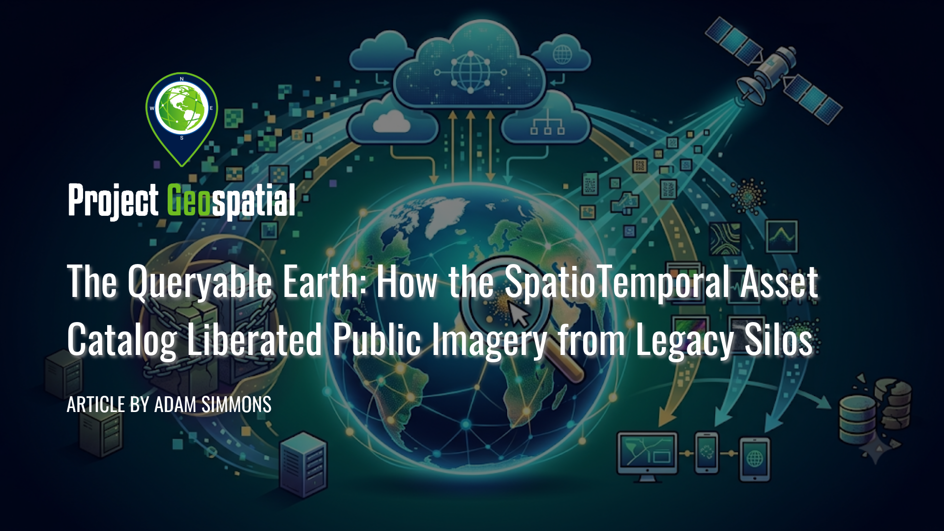
The Queryable Earth: How the SpatioTemporal Asset Catalog Liberated Public Imagery from Legacy Silos
Unlock the power of cloud-native geospatial data processing with this comprehensive deep-dive into how the SpatioTemporal Asset Catalog (STAC) specification has liberated public Earth observation archives from fragmented legacy silos. Learn the critical architectural differences between lightweight, serverless Static STAC Catalogs and dynamic, high-performance STAC APIs aligned with OGC features. From the grassroots "Guerrilla Standards" playbook to the modern tooling explosion, including PySTAC, serverless GeoParquet, and native QGIS integration, discover how planetary-scale systems like USGS Landsat Collection 2 and the Microsoft Planetary Computer power real-time scientific research and humanitarian disaster response pipelines. Plus, leverage our curated, interactive open satellite data directory to easily find and stream real-world spatial assets directly to your desktop GIS, eliminating traditional download bottlenecks forever.
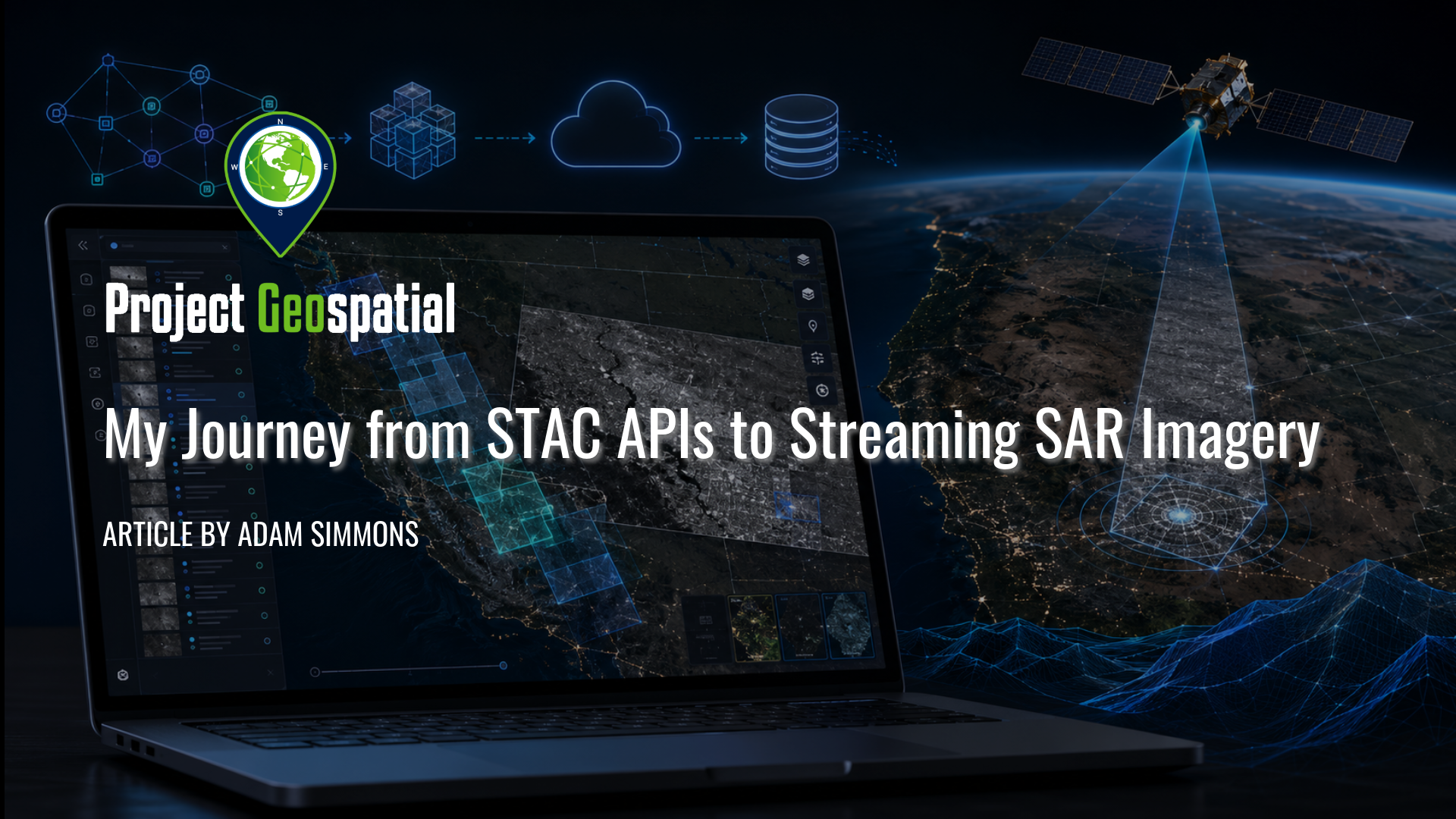
My Journey from STAC APIs to Streaming SAR Imagery
Explore the journey from STAC APIs to browser-streamed SAR imagery in this Project Geospatial field note on building a lightweight open-source web app for visualizing and streaming imagery from STAC APIs. The article examines the challenge of connecting STAC metadata to real AWS-hosted imagery files, streaming Cloud Optimized GeoTIFFs in a browser, and handling practical hurdles around COG quality, scale, rotation, and georeferencing. Focused initially on the Umbra Open Data Catalog, the project highlights the growing need for accessible map-based tools that help analysts, researchers, educators, developers, and disaster-response communities explore open imagery catalogs without immediately relying on desktop GIS workflows.
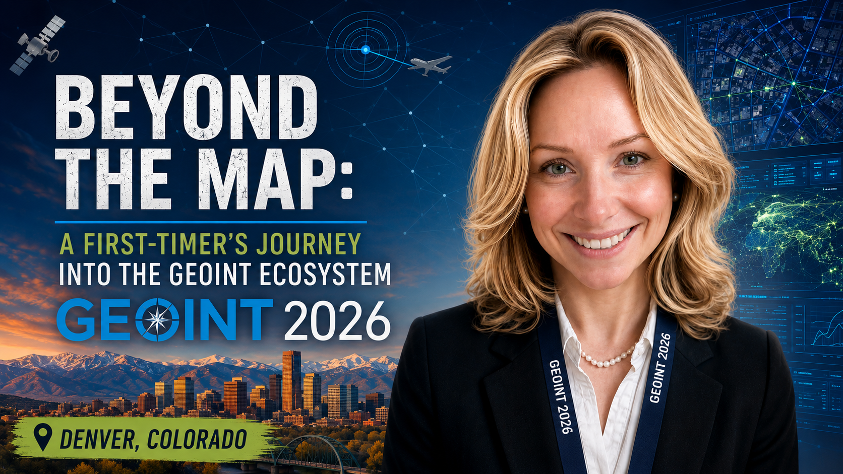
Beyond the Map: A First-Timer’s Journey into the GEOINT Ecosystem
Explore a newcomer's journey into the geospatial intelligence ecosystem at the GEOINT Symposium 2026. Former Project Geospatial intern Jessica Calloway shares her firsthand experience on how emerging tech, cutting-edge GeoAI, and a welcoming culture of mentorship are shaping diverse career paths. Discover how the GEOINT community is transforming massive data into actionable clarity and opening doors for fresh perspectives in this Geospatial Frontiers exclusive.
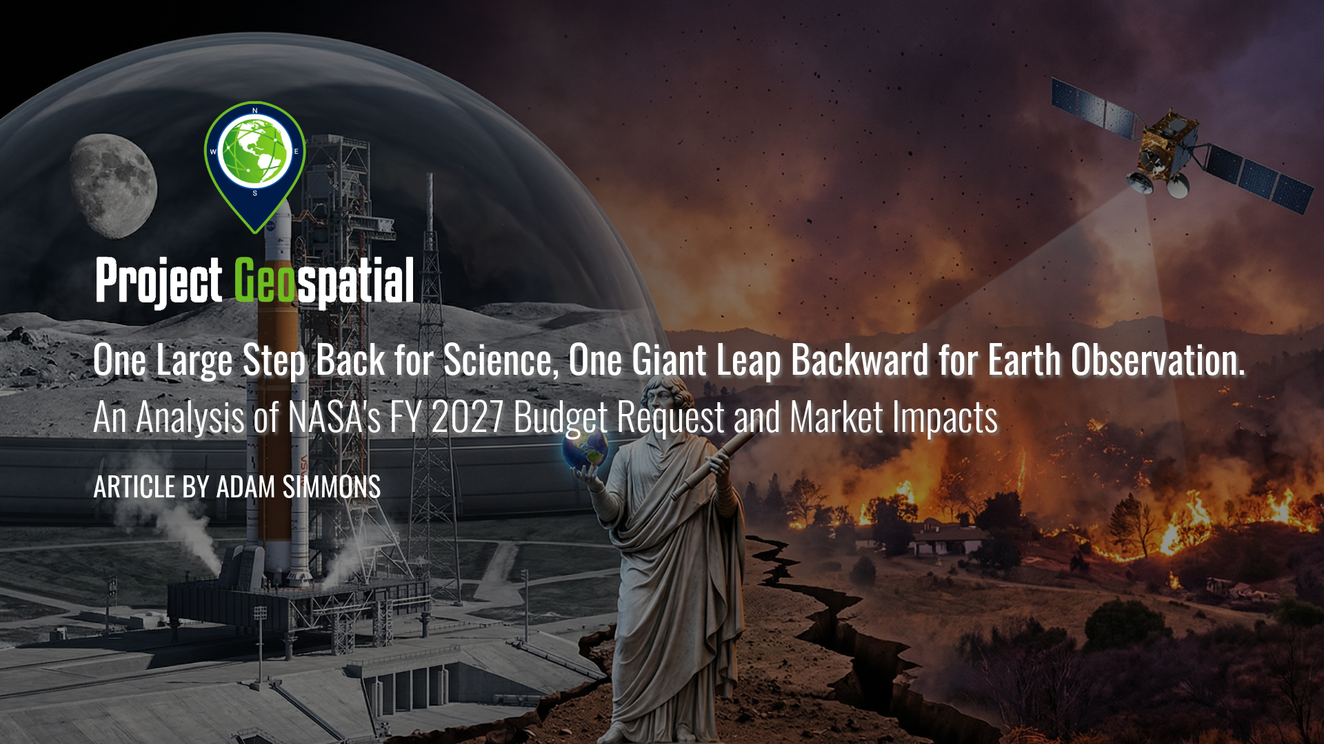
One Large Step Back for Science, One Giant Leap Backward for Earth Observation. An Analysis of NASA's FY 2027 Budget Request and Market Impacts
As federal priorities pivot from terrestrial observation to the Artemis lunar missions and Martian exploration, the geospatial and aerospace industries face a defining inflection point. This analysis explores how the proposed NASA FY 2027 budget’s "deep space first" strategy is dismantling traditional Earth Science funding models, forcing a rapid transition toward commercialized data solutions and decentralized satellite constellations. Discover how these strategic shifts in Earth Observation appropriations are reshaping the future of climate modeling, domestic infrastructure, and the global competitive landscape for aerospace manufacturing.
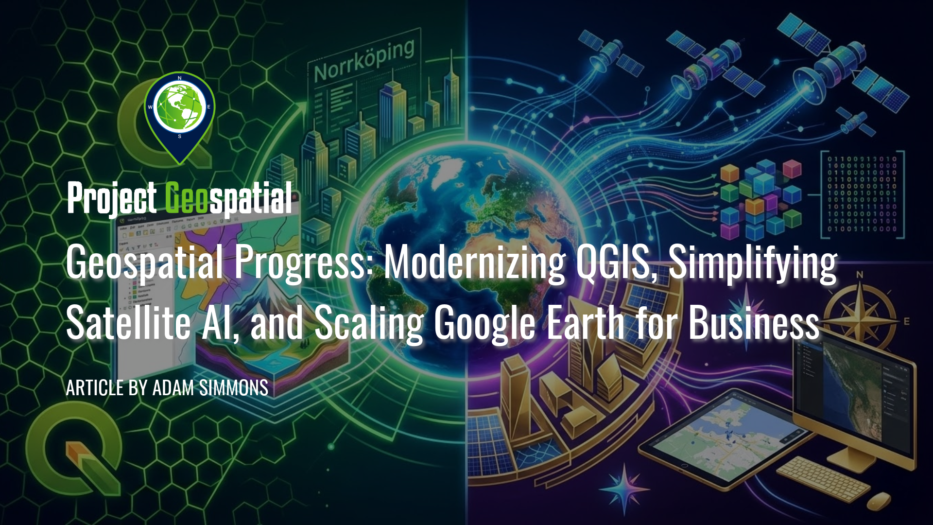
Geospatial Progress: Modernizing QGIS, Simplifying Satellite AI with Alpha Earth, and Scaling Google Earth for Business
The geospatial industry witnessed a transformative week with three major announcements that bridge the gap between open-source legacy and AI-driven enterprise intelligence. Leading the charge is the long-awaited release of QGIS 4.0 "Norrköping," a massive structural leap that migrates the premier open-source desktop GIS to the Qt6 framework for superior performance and security. Simultaneously, Google DeepMind unveiled its 2025 AlphaEarth Foundations update, introducing 64-dimensional satellite embeddings that allow developers to "see through" cloud cover and decode complex planetary variables with unprecedented mathematical precision. Finally, Google Earth officially transitioned into a powerful business ecosystem with the launch of its Professional and Professional Advanced tiers, integrating Gemini-powered "agentic" AI and domain-specific data layers for high-stakes urban planning and sustainability workflows. Together, these releases signal a new era where raw planetary data is no longer a bottleneck but an analysis-ready instrument for global decision-making.

Deploying Wireless Sensor Networks: Enabling Scalable Intelligence in Contested Environments
Modern defense operations face a critical intelligence gap in contested environments, where high-value ISR assets are too risky to deploy and Open Source Intelligence (OSINT) lacks verifiable ground truth. This article proposes a scalable framework for air-dropped Wireless Sensor Networks (WSNs) that utilizes low-cost, "attritable" COTS technology to deliver continuous, 24/7 situational awareness without risking personnel. By functioning as a tactical verification layer, these sensor swarms validate OSINT data streams and provide the persistence that satellites and manned aircraft cannot maintain. We demonstrate how this hardware integrates seamlessly with existing GEOINT ecosystems—including BAE Systems GXP, Esri ArcGIS, and DCGS-A—to close the loop between edge detection and multi-INT fusion. Discover how leveraging swarm doctrine and commercial innovation creates a cost-effective, "fire-and-forget" intelligence architecture capable of dominating future battlefields
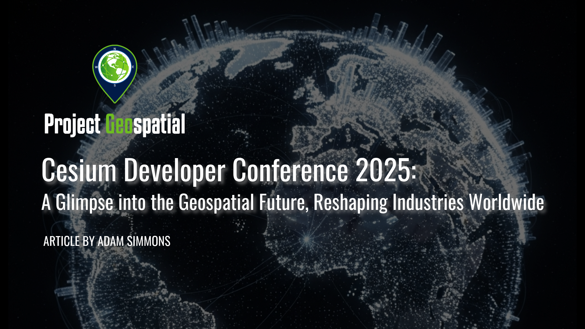
Cesium Developer Conference 2025: A Glimpse into the Geospatial Future, Reshaping Industries Worldwide
Explore the future of 3D geospatial innovation as charted at the Cesium Developer Conference in Philadelphia. This comprehensive recap covers groundbreaking advancements in open standards like 3D Tiles and glTF, the transformative impact of AI and Gaussian Splatting on reality capture, and the widespread adoption of digital twins in industries ranging from AEC and defense to climate resilience. Discover how Cesium's ecosystem—from CesiumJS and the Cesium ion cloud platform to powerful runtime plugins for Unreal Engine—is empowering over 400 innovators worldwide to build a more connected and intelligent virtual world

A Visionary's Legacy: Celebrating Landsat 7 (1999-2025)
Today marks the final, quiet farewell to Landsat 7, a satellite that has tirelessly served as humanity's eye on Earth for over a quarter-century. Its incredible 2.5 million images have not only documented our planet's vital pulse – from receding glaciers to changing forests – but have also empowered countless discoveries and deepened our understanding of our world. As it drifts into its final, silent orbit, we honor its unparalleled service and the dedication of the countless individuals who guided its mission, ensuring its legacy of environmental insight endures.
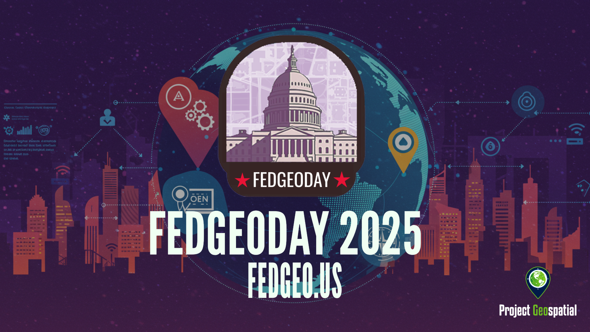
Open Source Geospatial Takes Center Stage for Resilience at FedGeoDay 2025
FedGeoDay 2025, held April 22nd in Washington D.C., was a packed and energized convergence of over 200 geospatial experts dedicated to a vital mission: building resilience through open source tools and data. Project Geospatial's coverage of the event revealed a community deeply committed to collaboration, showcasing everything from NASA's critical Earth observation data applications and foundational government datasets like USGS's 3DAP to the complexities of AI reliability, the dynamics of open data initiatives like OpenStreetMap and Overture Maps, and the necessity of robust cybersecurity. The day underscored the immense potential of open geospatial solutions in facing increasing challenges and the collective effort required to harness their power for societal benefit. The palpable energy and high turnout signaled a community ready to tackle complex problems together, leveraging open platforms for a more resilient future.