Cesium Developer Conference 2025: A Glimpse into the Geospatial Future, Reshaping Industries Worldwide
Philadelphia, PA – From June 23 to 25, the vibrant halls of the Loews Philadelphia Hotel bustled with over 400 innovators from 23 countries as the Cesium Developer Conference unfolded. As I, and some of my Project Geospatial interns, attended, the conference proved to be an engaging, lively, and extremely productive gathering, though its sheer wealth of information occasionally bordered on overwhelming. Philadelphia itself, a city rich in history and innovation, offered an amazing and refreshing change of scenery from the traditional geospatial conference hubs of Washington D.C., Denver, or St. Louis. Amidst the technical presentations and dynamic networking, a pervasive sentiment of positive anticipation emerged, as many sought to understand the implications of Cesium's acquisition by Bentley Systems, and how the platform's unique brand identity and robust community support would be maintained. This was far more than a technical showcase centered solely on Cesium technology; it was an exceptionally well-orchestrated event that celebrated geospatial technology across the industry, fostering a wonderful atmosphere among attendees. This unique atmosphere, coupled with the profound technical discussions, affirmed a collective sense of accomplishment and anticipation. With a community now boasting over 13 million downloads and two million unique monthly devices on Cesium ion, and Cesium's recent integration into Bentley Systems acting as a powerful accelerator, the path towards a truly interconnected, 3D world feels more attainable than ever.
The Bedrock of Innovation: Open Standards and Core Technologies
This remarkable progress, we quickly learned, is built upon a robust foundation of open standards and continuously evolving core technologies. At the very core of the Cesium ecosystem lies an unwavering commitment to open standards, particularly 3D Tiles and glTF. These standards are not just technical specifications; they are the conduits for seamlessly streaming massive geospatial datasets with level-of-detail (LOD) and ensuring crucial interoperability across a myriad of diverse applications. Sean Lily from the Cesium team highlighted the continuous evolution of 3D Tiles, with version 1.1 introducing direct glTF referencing, implicit tiling, and structured metadata, all designed to boost performance and functionality. Neil Trevett, President of Khronos Group, passionately articulated how functionality once niche to 3D Tiles is now going mainstream into glTF, underscoring a pivotal opportunity for the geospatial community to champion these standards and prevent costly fragmentation across the broader 3D industry.
Building upon these foundational standards, CesiumJS, the open-source web runtime, remains an indispensable tool for developers, empowering the creation of interactive 3D geospatial applications directly in the browser. Breakthroughs showcased included the much-anticipated ability to drape raster imagery on 3D Tiles, fundamentally transforming how everything from road maps to drone orthophotos can be visualized with real-world context. The platform's advancements in supporting volumetric and voxel data are opening new doors for representing intricate phenomena, from simulated satellite breakup events to underground geology and ocean temperatures. Looking ahead, enhanced feature data support for large datasets of points, lines, and polygons, alongside multiple viewports sharing a single WebGL context, promise to elevate architectural and analytical workflows to new heights.
Complementing these powerful web capabilities are the robust Cesium runtime plugins for Unreal Engine, Unity, and NVIDIA Omniverse. These plugins are forging a critical bridge between accurate geospatial data and high-fidelity real-time rendering environments, effectively democratizing access to large-scale, immersive digital twin experiences for even small development teams. They enable rapid visualization, interactive design alternatives, and leverage the engines' native features like physics, lighting, and rendering power with unprecedented geospatial accuracy. Notable advancements in Cesium for Unreal, such as polygon clipping for hiding existing data, dynamic metadata picking and styling for data analysis, custom ellipsoids for modeling other celestial bodies like the Moon and Mars, and a geocoder blueprint API, signal a robust future for real-time geospatial applications. Further enhancements for the runtime plugins, including support for vector data (GeoJSON), voxels, and Gaussian splats, promise to keep these integrations at the cutting edge.
Cesium Ion: The Unseen Force Driving Data and Reality Capture
The ability to process and stream the massive datasets these technologies demand rests firmly on the backbone of Cesium ion. Cesium ion emerged as the undisputed cloud platform for data management, hosting, and streaming – an indispensable component for the entire ecosystem. It acts as a central command center where users can upload and convert a vast array of geospatial data—from point clouds and 3D models to terrain, imagery, IFC, CAD, and CityGML—into optimized 3D Tiles and other formats for efficient global streaming via its content delivery network (CDN). This ensures high-performance data delivery regardless of geographic location, whether in the US, Japan, or Europe. For larger enterprises, Cesium ion self-hosted offers a Kubernetes-based solution for on-premises deployment, addressing critical security, data sovereignty, and scalability requirements for organizations like ANCS, DroneDeploy, and Terodept.
A true game-changer unveiled at the conference, and one that generated considerable buzz, was the experimental support for Gaussian Splatting. This cutting-edge rendering technique for high-fidelity 3D reconstruction from photos and videos promises significantly faster processing than traditional photogrammetry, generating remarkably detailed 3D models, even for intricate geometries like wires and foliage. Mary Moore and Victory Igbanaro vividly demonstrated the astonishing speed—often within minutes—with which drone videos could be transformed into Gaussian splats and reality meshes using Cesium ion, heralding a new era for rapid site capture and immersive virtual experiences. Victory Igbanaro called it "a big deal," stating it allows capturing less data while achieving high-fidelity models, now possible on the web with Cesium. UPenn's Dean Vijay Kumar aptly described it as a "Goldilocks representation," finding a sweet spot between complex explicit maps and efficient visualization for safe navigation in unstructured environments. This technology is poised to democratize 3D content creation, making high-quality reality models accessible to a far wider audience.
Furthermore, Cesium ion's integration with Bentley's iTwin Capture brings powerful AI-powered feature detection and photogrammetry capabilities directly to the platform. This enables users to extract valuable insights from reality data, such as identifying assets along a railroad or classifying point clouds to pinpoint light poles or trees. This capability is set to evolve with custom AI detectors and change detection features, as discussed by Tom Philly. This fusion of AI with reality data signifies a major leap forward in automated geospatial intelligence, with profound implications for asset management, urban planning, and environmental monitoring.
Broadening Horizons: Industry-Wide Impacts and Transformative Applications
Beyond the technical marvels, the conference truly came alive through its showcase of diverse applications. These presentations solidified critical trends and predicted immense impact across various sectors, demonstrating how Cesium's technologies are not just theoretical but are actively solving real-world problems.
Digital Twins and AEC Workflows Accelerated
The concept of Digital Twins permeated nearly every discussion, demonstrating its revolutionary potential in accelerating architecture, engineering, and construction (AEC) project delivery and asset performance. Penoni Associates vividly illustrated how Cesium for Unreal transforms large-scale civil engineering projects, such as Philadelphia's Penn's Landing I-95 CAP, into real-time interactive digital twins, slashing rendering times that previously took hours or days and dramatically improving stakeholder engagement. HNTB showcased how Cesium enables small teams to visualize massive infrastructure projects like the Interstate 375 removal in downtown Detroit, responding to design changes with unprecedented speed and precision. They also developed custom tools for scattering trees and an in-environment commenting tool (IMQC) for stakeholders. Bentley's iTwin plugin for Unreal, streaming massive construction data via Cesium 3D Tiles, creates detailed digital twins of projects like the UK's HS2 railway, enabling virtual bridge inspections and real-time construction sequence visualizations. The Design Tiler is proving invaluable, converting complex AEC design data (IFC, Revit, CAD) into 3D Tiles while preserving critical metadata for advanced querying and styling, fundamentally streamlining workflows. OneWork Taiwan is using CesiumJS and digital twins for public infrastructure asset management, including airport asset management, height restriction analysis, and dynamically generated pipeline models with real-time water level data. D5 Render, the first visualization tool to integrate Cesium, allows architects to easily place designs in real-world environments, addressing the complexity and cost of traditional photo matching. Arcadus uses Cesium for Unreal to create accurate view studies and interactive walkthroughs for architectural proposals, including a glass observation elevator at Niagara Falls, and demonstrating real-time client feedback capabilities. This widespread adoption signals a future where interactive, data-rich digital twins are standard, leading to massive efficiencies and cost savings across the global AEC industry.
Government and Public Sector Initiatives: A New Era of Efficiency and Preparedness
As digital twin and AEC applications mature, we're seeing similar transformative shifts within government agencies. These bodies are increasingly relying on Cesium for vital public services, signaling a widespread adoption of 3D geospatial solutions. NOAA's National Centers of Environmental Information (NCEI) are building a "data assembly hub" using CesiumJS and Cesium ion to manage the exponential growth of data from uncrewed systems, enhancing research and access to extensive climate and ocean data. NASA's Odin Fire project utilizes CesiumJS as an open data integration framework to improve situational awareness for wildland fire mitigation, addressing fragmented data by integrating various sources for a more coherent and actionable view. The US Army's One World Terrain (OWT) program has solidified 3D Tiles as its "well-formed format" for synthetic training environments, a testament to the standard's robustness and long-term viability in defense. Maxar's contribution of 50cm resolution 3D surface models with rich metadata within 3D Tiles further solidifies this foundation. The Tokyo Digital Twin Project, a smart city initiative managed by Mitsubishi Research Institute and supported by PSS (Pacific Spatial Solution), aggregates diverse geospatial data for urban management, decision-making, and disaster preparedness, setting a global precedent for urban digital transformation. PSS's P3D viewer, built on CesiumJS, focuses on user-friendly access to massive 3D data for urban planning, mobility, and disaster management. These examples illustrate a growing reliance on 3D geospatial for critical government functions, from national security to urban planning and disaster response, ultimately leading to more informed and efficient public services globally.
AI, 3D, and Data Technology: Intelligent Geospatial for the Masses
The threads of these sophisticated 3D solutions become even more intricate and powerful when interwoven with advancements in artificial intelligence. The synergy between AI and Cesium technology is rapidly expanding the frontiers of geospatial analysis, promising to democratize advanced capabilities. Bentley's iTwin Capture, integrated with Cesium ion, enables AI-powered feature detection in point clouds, allowing automated classification of assets like railroad infrastructure, trees, and light poles – a crucial step for smart city planning and asset management. The experimental support for Gaussian Splatting in Cesium ion, which leverages AI for rapid, high-fidelity 3D reconstruction, is a testament to this powerful combination. Sean Wohltman, Google's Global Head of Cloud Geography, celebrated Google Earth's 20th anniversary by demonstrating how AI, coupled with Cesium and Google Photorealistic 3D Tiles, can generate interactive geospatial applications on-the-fly, including draping analytical imagery over 3D city models. Blinkcy, a Bentley company, employs AI for road condition management, detecting potholes and damaged guardrails from Google Street View or LiDAR data, with these detections overlaid on Cesium visualizations, offering proactive infrastructure maintenance. Geopogo showed how connecting Unreal Engine to an LLM can generate AI-based animations informed by geographically correct Cesium data, creating rich, photoreal animations more efficiently. AeroAI's Sega application integrates conversational AI agents to provide real-time, in-3D answers to questions about project context, valuable for training and public engagement. Bentley is also experimenting with AI upscale workflows using tools like Confy UI, starting from Google 3D Tiles as a "canvas" to generate high-resolution images from architectural engineering data. This infusion of AI into geospatial workflows promises to lower barriers for new users, accelerate analysis, and drive automated insights, leading to a "third wave of democratization".
Aerospace and Defense: Extending Geospatial to the Final Frontier
The capabilities born from AI and 3D data naturally extend into critical sectors like aerospace and defense, where precision and real-time visualization are paramount. Cesium maintains a robust and growing presence in this sector, pushing the boundaries of 3D geospatial analysis to Earth and beyond. Elsas utilizes CesiumJS for space domain awareness and satellite operations, visualizing satellite catalogs, maneuver planning, and uncertainty ellipsoids. Digital Arsenal's OrbPro project, using a custom Web Assembly backend, demonstrated the astonishing feat of propagating an entire satellite catalog of 27,000 objects in a browser over thin network pipes, enabling rapid conjunction assessment and visibility analysis for defense and intelligence. Array Labs, building the first satellite system for high-resolution 3D data capture from space using SAR (Synthetic Aperture Radar) technology, uses Cesium ion in their internal Site3D tool for sharing, debugging, and comparing this 3D data against reference layers and tracking changes. Lockheed Martin showcased Cesium for Unreal for site planning and radar blockage testing for secure facilities. Sand Table is employing Agentic AI in military planning, leveraging Cesium ion for initial terrain analysis and CesiumJS for rapid editing of plans with AI assistance, enhancing strategic decision-making and mission rehearsal. The US Army's One World Terrain (OWT) program continues to be a major user, having adopted 3D Tiles as its "well-formed format" for synthetic training environments since 2019. Maxar, a key contributor, supports OWT by providing highly detailed 3D models and visualization capabilities within Cesium for Unreal/Unity plugins. Neponco showcased visualization of rocket telemetry and cityscapes, using Cesium and Three.js with custom offline image tiles and atmospheric shaders to display real-time launch events in Japan. Furthermore, Comspach demonstrated simulated satellite breakup events visualized with volumetric data in CesiumJS, showing the likelihood of debris in space, which is crucial for monitoring expensive orbiting assets. This sector's rapid adoption of Cesium points to a future where high-fidelity, real-time 3D geospatial data is fundamental for national security, space exploration, and defense planning.
Marketing and Education: Nurturing the Future of Geospatial
Beyond the high stakes of defense, the pervasive nature of 3D geospatial technology extends to nurturing the next generation of innovators and effectively communicating complex ideas. Cesium is actively fostering community growth and supporting developers, which will have a profound impact on the future talent pipeline and public engagement with geospatial technologies. The Cesium Ecosystem Grants program has committed $1 million in non-dilutive funding to expand the open ecosystem, with a focus on open-source projects and learning materials. The Cesium Certified Developer Program provides a valuable credential that businesses actively seek, offering a clear pathway for developers to market their specialized Cesium skills.
Educational and marketing applications demonstrated new ways to engage diverse audiences. Cesium Stories, described as "PowerPoint for geospatial data," enables non-developers to easily create and share visually compelling geospatial narratives with slides, descriptions, links, and styling via a single URL, bridging the gap between technical data and broad understanding. Neptune XR, an educational tech startup, is using Cesium, AI, and immersive technologies like AR and VR to bring digital twins into classrooms, aiming to personalize learning experiences. Peter Militz demonstrated an AR application that overlays virtual architecture onto real-world views using Google's Geospatial API and Cesium for immersive experiences. Attendees, including my own interns, emphasized the critical need for more dedicated career and educational pathways, student-focused sessions, and stronger industry-university partnerships to better prepare students for the evolving geospatial landscape. The Open Geospatial Consortium's new individual developer membership is a direct response to this need, welcoming more talent into the standards-making process. These initiatives are crucial for building the next generation of geospatial innovators and for effectively communicating the value of geospatial data to a wider public.
Climate Resilience and Environmental Monitoring: A Global Imperative
Finally, the power of 3D geospatial technology converges on one of humanity's most pressing challenges: climate change and environmental resilience. Cesium technology is being powerfully leveraged to address critical environmental concerns and bolster climate resilience worldwide. Lux Sigma uses CesiumJS with Copernicus data to detect climate-resilient regions in Guatemala, providing crucial insights for reforestation efforts by visualizing photosynthesis and temperature levels to identify suitable areas. Terodept, an ocean mapping company, employs Cesium ion self-hosted for disaster response, allowing for detailed comparison of seafloor conditions after devastating events like hurricanes, and for planning undersea infrastructure. Neponco showcased impactful visualizations of earthquake activity across Japan and landslide simulations, integrating real-world context with dynamic event modeling to enhance preparedness and public understanding of dynamic events.
Dublin City University (DCU) is using its campus as a living lab for smart city applications, developing digital twins for various purposes, including indoor routing for neurodivergent students, AR-based navigation, emergency management, flood simulation based on real-time river flow and rainfall, and CO2 emission tracking of buildings using computer vision. Charelle Louu from Columbia University presented "Hammock Tower," a visionary concept for climate-resilient architecture in a +4°C future, leveraging Cesium for Omniverse to integrate wind simulations with Google Photorealistic 3D Tiles, demonstrating how design decisions can respond in real-time to environmental contexts to maximize passive cooling. EarthBrain's smart construction initiatives in Japan are addressing the need to optimize construction processes and adapt to climate challenges, visualizing construction site changes over time with time-dynamic 3D Tiles, specifically for large job sites that require hundreds to thousands of daily LiDAR collects. NOAA's Data Assembly Hub, while broadly for data management, directly supports the collection and archiving of extensive climate and ocean data crucial for environmental monitoring. These applications illustrate the growing and urgent role of 3D geospatial technology in understanding, monitoring, and mitigating the impacts of climate change, proving to be an indispensable tool for global sustainability efforts.
Voices of the Community: Shaping the Future
As the conference delved deeper into these transformative applications, it became clear that the passion and vision of its leaders are as critical as the technologies themselves. The conference featured powerful insights from industry leaders, collectively painting a compelling vision for the future:
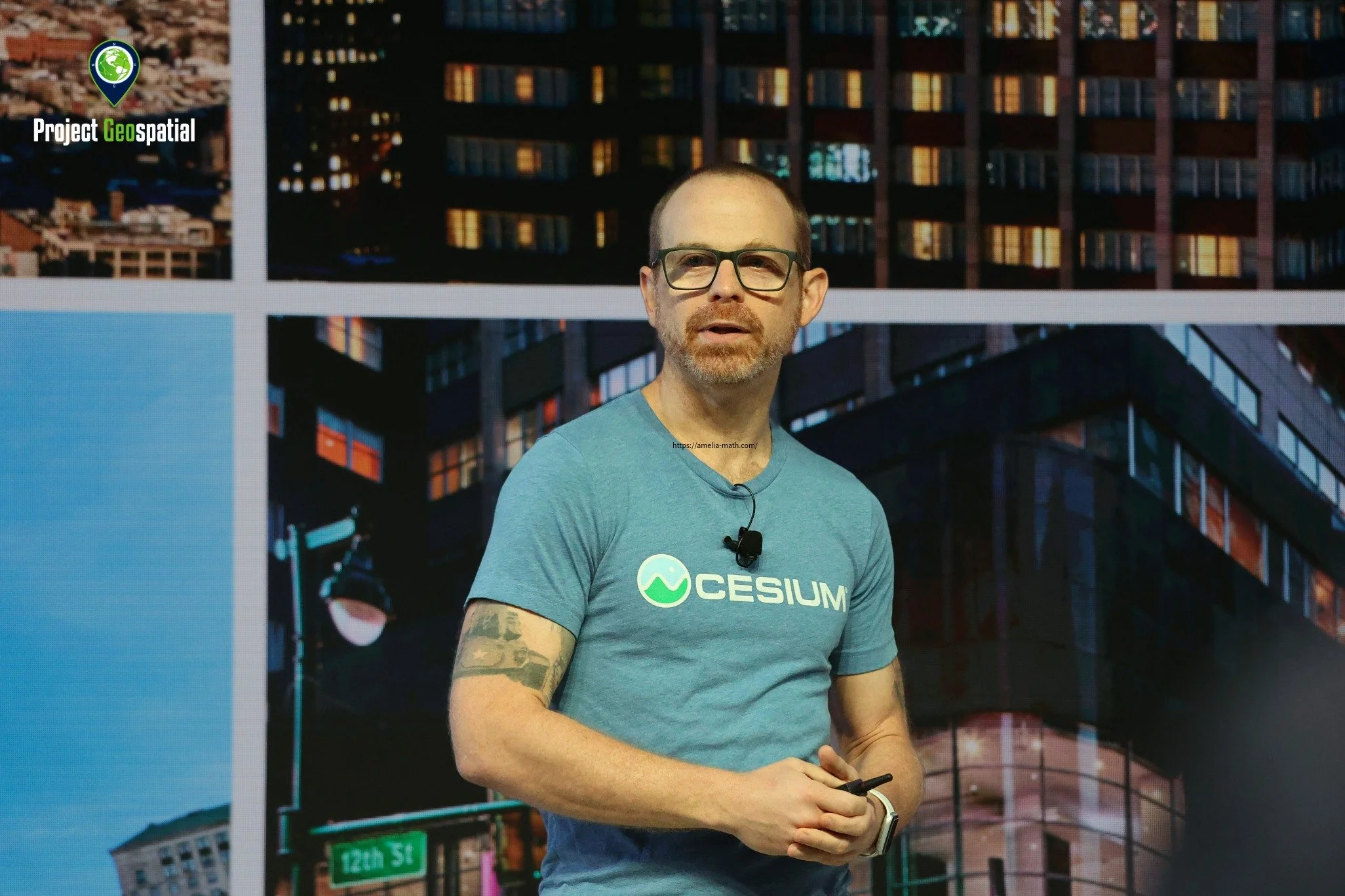
Patrick Cozzi, Cesium Founder and Bentley Chief Platform Officer
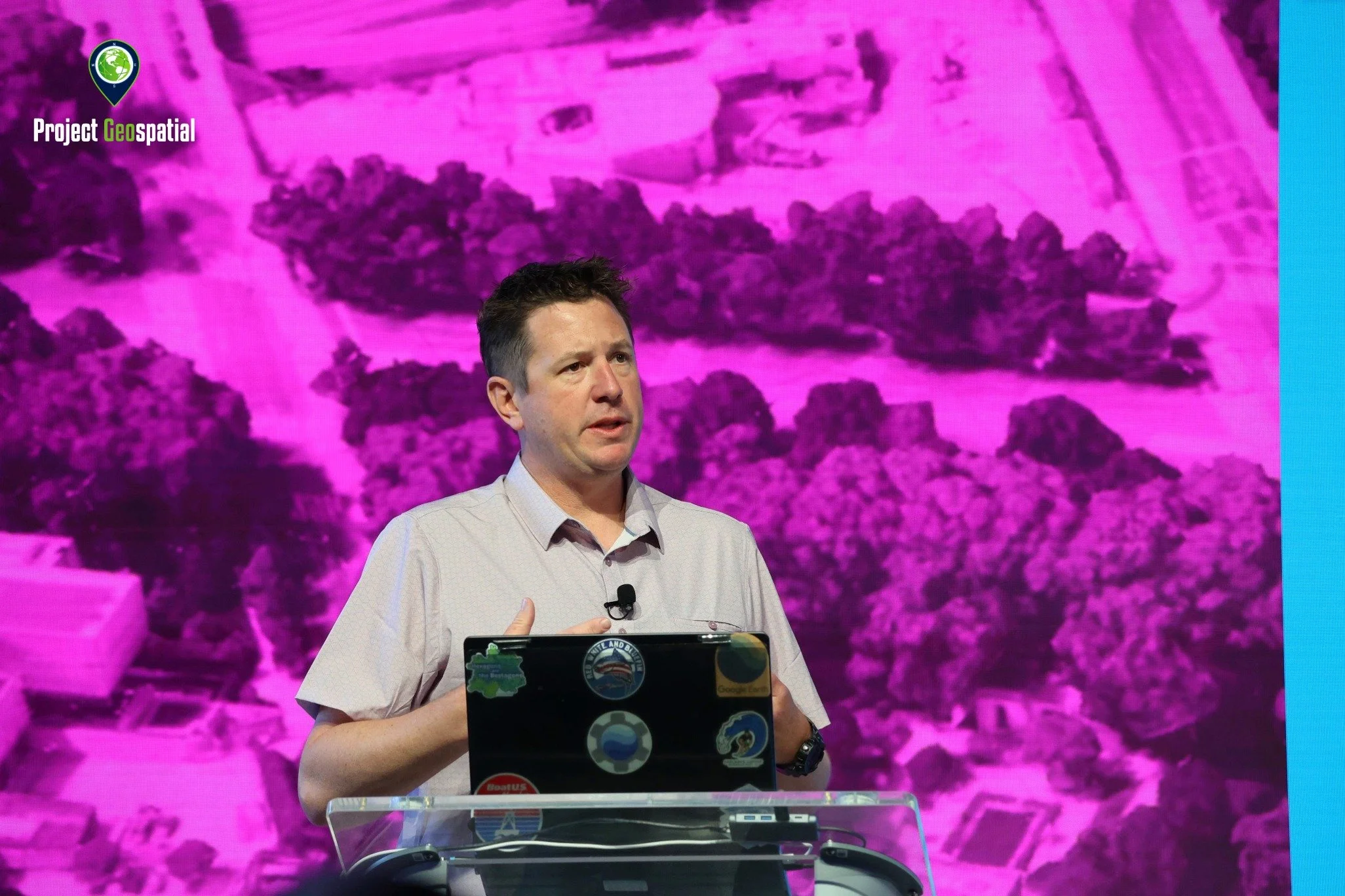
Sean Wohltman, Google's Global Head of Cloud Geography
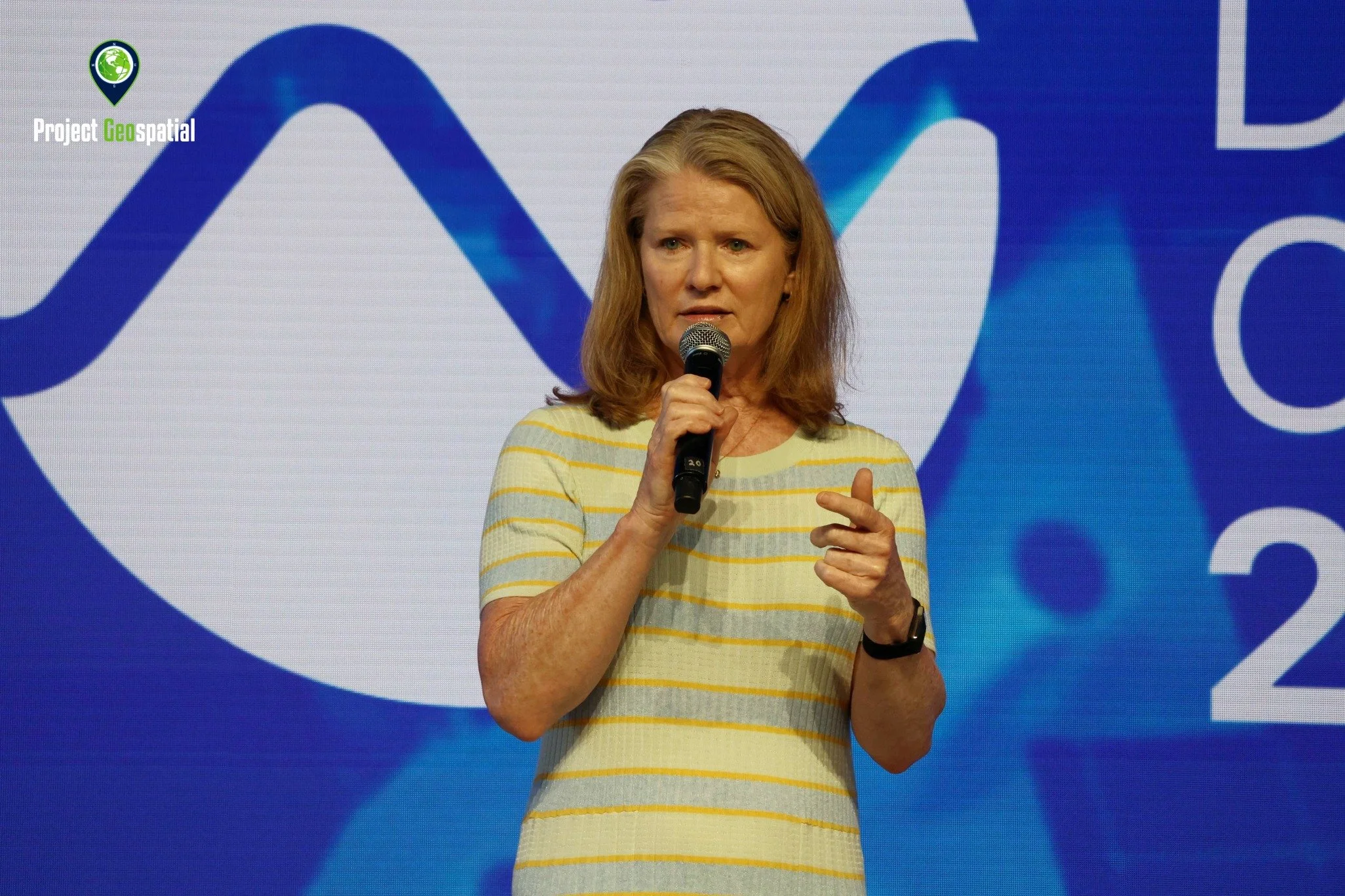
Rhonda Schrenk, CEO of USGIF
Patrick Cozzi, Cesium Founder and Bentley Chief Platform Officer, emphasized that Cesium's journey has been guided by the open-source community, enabling breakthroughs like the use of Google Photorealistic 3D Tiles in sports broadcasts. He noted that Cesium joining Bentley Systems acts as an accelerator, fostering more contributions to open source and expanding capabilities.
Keith Bentley, Founder of Bentley Systems, expressed his "awe of the work of the 3D geospatial community" and his strong belief in open technology and standards as the future, envisioning a "virtual digital model of the Earth".
Peter Rabley, CEO of the Open Geospatial Consortium (OGC), highlighted the critical role of standards in solving interoperability problems and announced a new individual developer membership to welcome more talent into the standards-making process. He stressed that standards development is becoming more agile, driven by code sprints and real-world implementations rather than slow, theoretical discussions.
Neil Trevett, President of Khronos Group, discussed the convergence between glTF and 3D Tiles, noting that functionality originating in 3D Tiles is increasingly becoming broadly applicable and going mainstream. He urged the geospatial community to champion these standards to prevent fragmentation and lost opportunities.
Sean Wohltman, Google's Global Head of Cloud Geography, celebrated the 20th anniversary of Google Earth and showcased how AI, combined with Cesium and Google Photorealistic 3D Tiles, can generate interactive geospatial applications on-the-fly, including draping analytical imagery over 3D city models.
John Vanderme, CTO of Sequent, passionately advocated for openness in subsurface data, stating that Sequent Evo offers an open platform with open APIs and schemas, challenging the industry's traditional "walled gardens." He highlighted CesiumJS and 3D Tiles' critical role in visualizing massive geoscience datasets and enabling geospatial search.
Vijay Kumar, Dean of UPenn Engineering, offered a unique academic perspective, emphasizing the need for stronger industry-university partnerships for long-term innovation and the responsibility of technologists to lead policy discussions, particularly concerning rapidly advancing fields like drones and AI. He also noted Philadelphia's thriving tech scene, fueled by a growing pool of engineering talent.
Rhonda Schrenk, CEO of USGIF, highlighted the importance of geospatial intelligence in national security, emphasizing collaboration between government, industry, and academia. She recalled the GeoINT conference as the venue where 3D Tiles was first publicly demonstrated in 2015, showcasing the journey of a "crazy idea" to a staple technology.
Community Engagement and Future Outlook: A Collective Journey Forward
These inspiring visions from industry leaders are being translated into action through a dedicated focus on community engagement and developer support. The conference provided an invaluable forum for this dialogue, revealing both the triumphs and the challenges ahead. Attendees provided valuable feedback, pointing to both strengths and areas for improvement. Concerns included "choice paralysis" with simultaneous sessions across multiple floors and the desire for more dedicated career and educational pathways for students. There was a strong call for more code generators for text-based standards to reduce developer burden, and for standards organizations to actively engage with academic partners to better prepare students for the evolving geospatial landscape. The community also expressed interest in more buffers between sessions and keeping sessions on the same floor to allow for easier transitions and less missed content.
As the curtains closed on this year's Cesium Developer Conference, the message was unmistakably clear: the 3D geospatial community, fortified by Cesium's open technologies and an indomitable collaborative spirit, is not merely charting the future; it is actively building it. The rapid adoption of game-changing tools like Gaussian Splatting, the continuous evolution of robust open standards like 3D Tiles, and the deeper integration with real-time engines and AI are creating unprecedented opportunities for innovation and impact across every imaginable industry. With visionary leaders like Patrick Cozzi and Keith Bentley championing an open ecosystem, the path ahead promises even more transformative applications, truly bringing to life the "virtual digital model of the Earth." Our collective journey continues, fueled by innovation, collaboration, and a shared vision for a more connected, intelligent, and resilient world.

