


GEOSPATIAL FRONTIERS
A Publication by Project Geospatial
LOOKING BEYOND
THE MAP
Geospatial Frontiers, a new publication from Project Geospatial, brings together leading voices and experts from across the geospatial ecosystem to tackle the industry's most pressing challenges. Through in-depth articles and discussions, Geospatial Frontiers aims to explore innovative solutions and spark critical conversations that will shape the future of geospatial technology and its applications.
CONTRIBUTING AUTHORS

Adam Simmons

Keith Barber

Fred Woods

Matthew Husted

Chris Vaughan
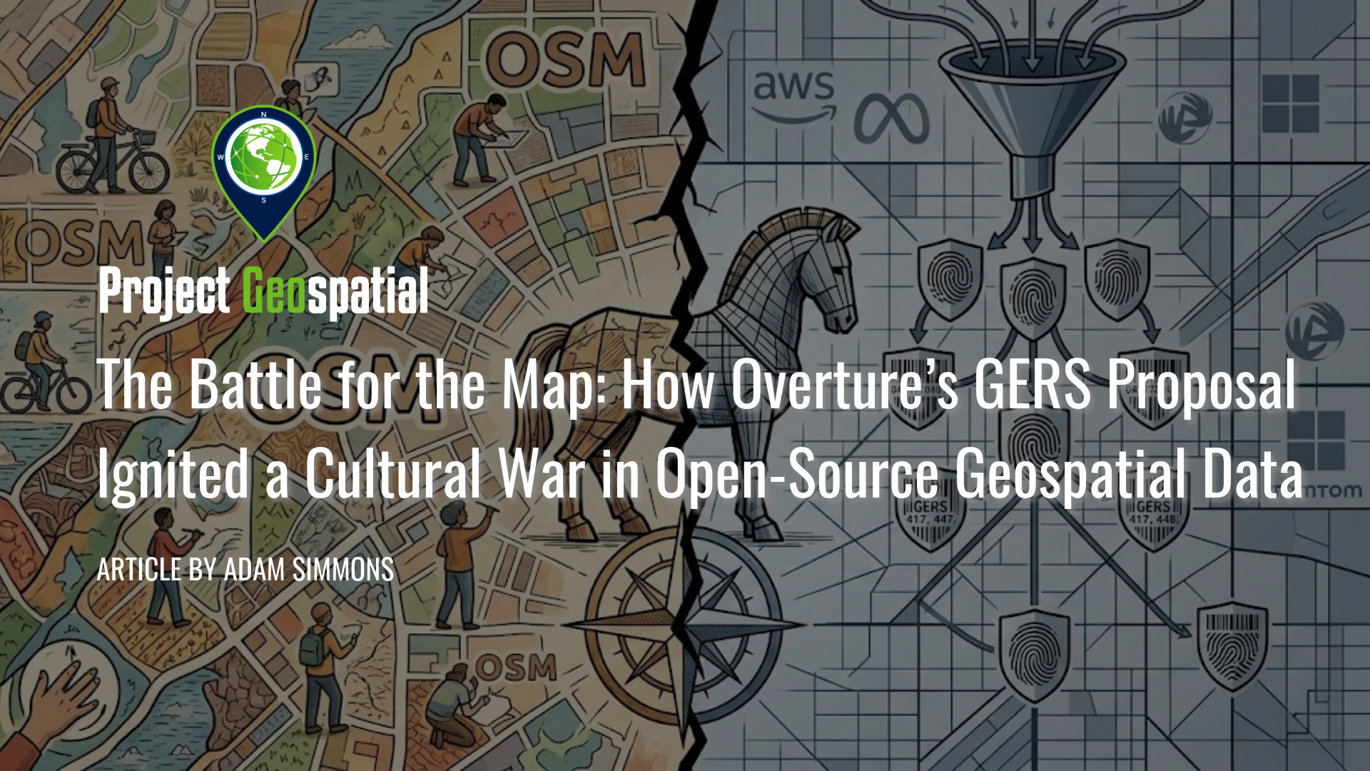
The Battle for the Map: How Overture’s GERS Proposal Ignited a Cultural War in Open-Source Geospatial Data
In early 2026, the geospatial industry reached a critical turning point as the Open Geospatial Consortium (OGC) considered adopting the Global Entity Reference System (GERS)—a framework backed by the Overture Maps Foundation (Amazon, Meta, Microsoft, and TomTom)—as an international community standard. Designed to eliminate the costly "conflation tax" by assigning persistent, unique identifiers to billions of real-world entities, GERS promises to revolutionize spatial data integration for enterprise and Spatial AI applications. However, the proposal has ignited a fierce rebellion within the OpenStreetMap (OSM) community, where critics warn of corporate enclosure, opaque governance, and a "pay-to-play" $300,000 membership model. While industry giants view GERS as a vital tool for digital twin interoperability, open-source advocates highlight technical failures—including a 20% ID churn rate—arguing that the system threatens to render decentralized, volunteer-driven mapping obsolete in the modern data economy.
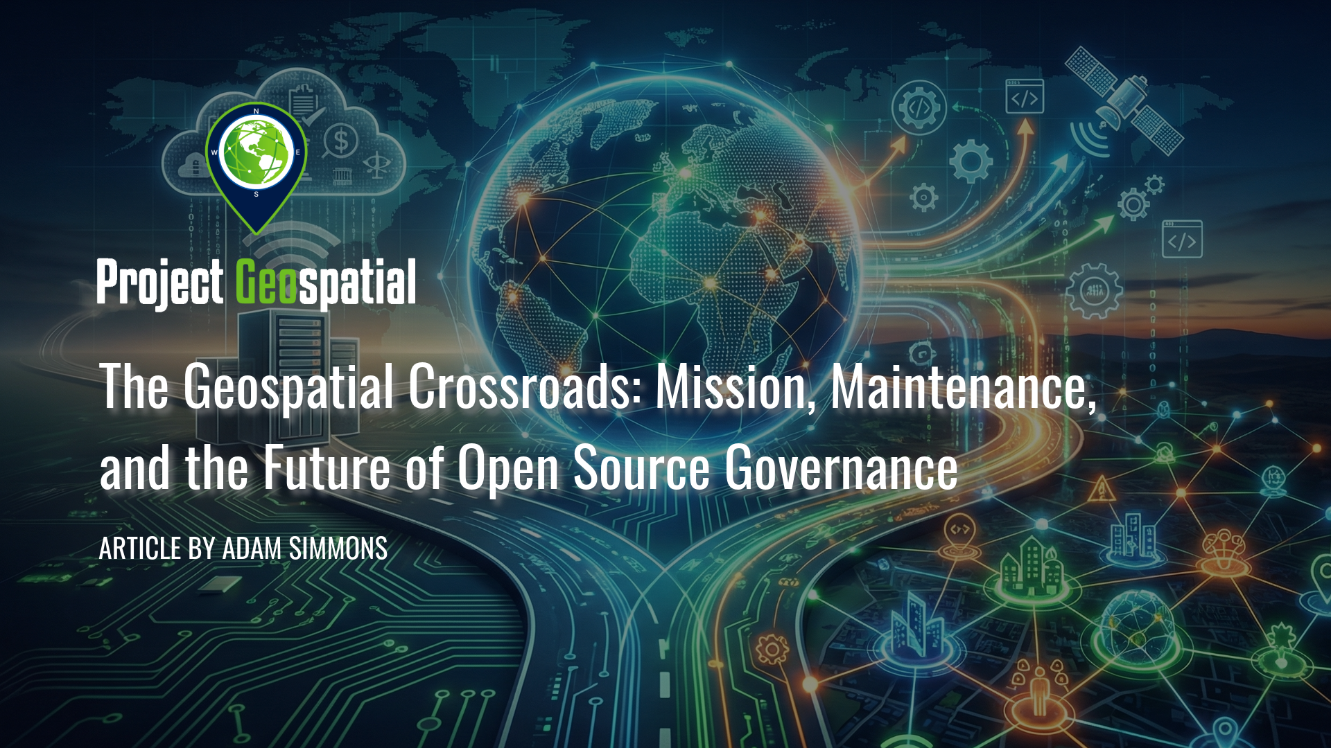
The Geospatial Crossroads: Mission, Maintenance, and the Future of Open Source Governance
Is the era of centralized open-source governance ending? This in-depth analysis examines the existential crisis facing OSGeo as it approaches its twentieth anniversary, caught in an "Institutional Trap" between a struggling global foundation and thriving regional chapters like FOSS4G North America. Explore the critical tensions defining the future of the geospatial technology stack, including debates over FOSS4G brand ownership, controversial revenue-sharing proposals, and the rising demand for "Sovereign Open Source" models to navigate complex geopolitical and regulatory landscapes.

The Phoenix Project: A Challenge to the Community to Forge an Open-Source Successor to HIFLD
This article issues a compelling challenge to the community: to collaboratively forge an open-source successor to the vital HIFLD portal. We present a conceptual solution, not as a finished blueprint, but as a compass to guide a collective journey forward. Join the critical conversation on building a resilient, community-owned digital commons for national infrastructure data, reclaiming our shared responsibility in the wake of a crucial public resource going dark. This is a call to action for mappers, developers, emergency managers, and all stakeholders to define the future of accessible, authoritative geospatial data.
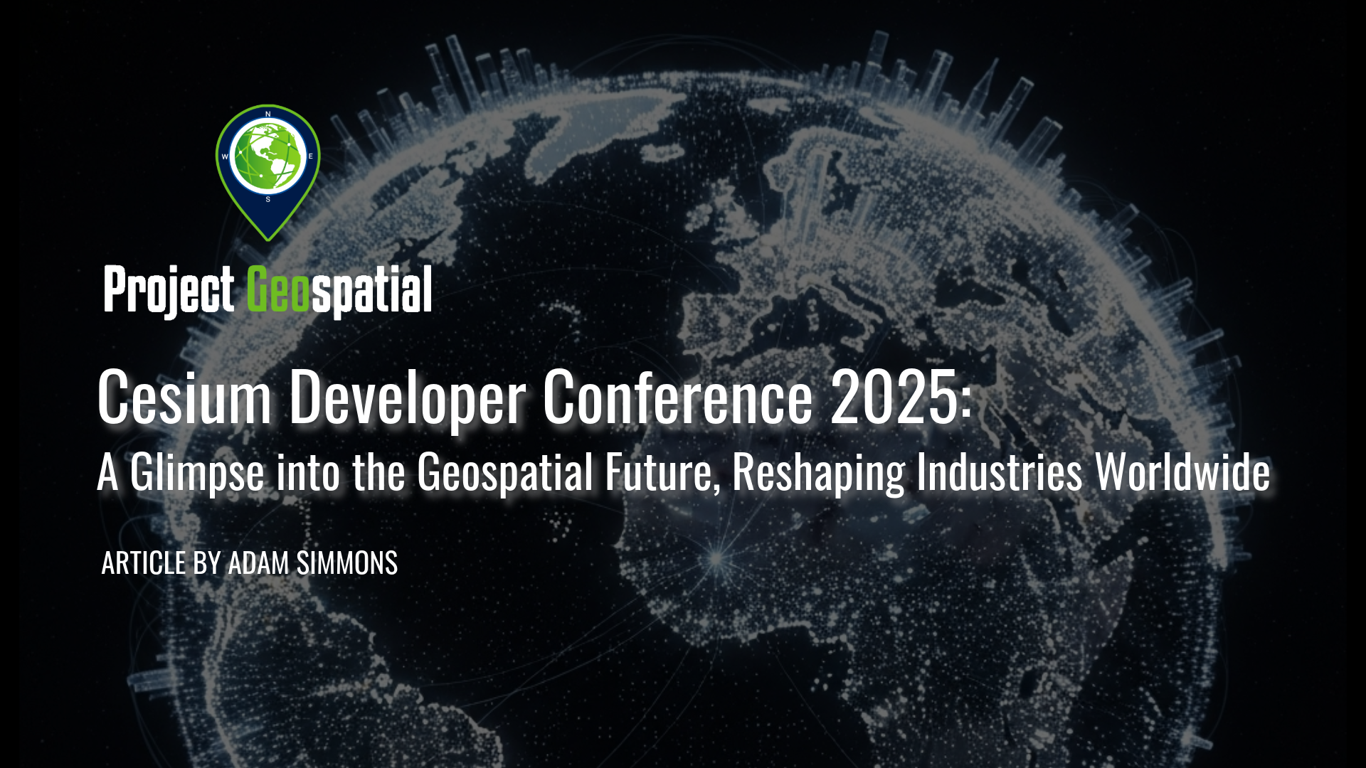
Cesium Developer Conference 2025: A Glimpse into the Geospatial Future, Reshaping Industries Worldwide
Explore the future of 3D geospatial innovation as charted at the Cesium Developer Conference in Philadelphia. This comprehensive recap covers groundbreaking advancements in open standards like 3D Tiles and glTF, the transformative impact of AI and Gaussian Splatting on reality capture, and the widespread adoption of digital twins in industries ranging from AEC and defense to climate resilience. Discover how Cesium's ecosystem—from CesiumJS and the Cesium ion cloud platform to powerful runtime plugins for Unreal Engine—is empowering over 400 innovators worldwide to build a more connected and intelligent virtual world
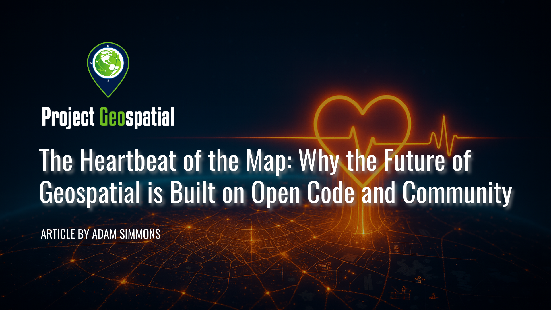
The Heartbeat of the Map: Why the Future of Geospatial is Built on Open Code and Community
In the world of geospatial technology, two powerful currents shape our digital maps: the polished, enterprise-ready ecosystems of proprietary software like Esri's ArcGIS and the passionate, community-driven innovation of Free and Open Source Software (FOSS). This is not a story of opposition, but of a complex, thriving balance. From corporate giants optimizing global logistics to volunteer armies mapping disaster zones in real-time to save lives, both models are fundamental to our modern world.
This article delves into the heart of this dynamic, exploring the philosophies that divide and the open standards that unite these two worlds. We deconstruct the powerful FOSS4G stack—featuring titans like QGIS and PostGIS—and examine the sustainable business models that prove "free" software is a viable, enterprise-grade choice.
More than just code, we uncover the soul of the movement: the Open Source Geospatial Foundation (OSGeo) and the global community that fuels its innovation. Discover why supporting this ecosystem is not charity, but a strategic investment in the foundational infrastructure of our industry. Learn why attending the annual FOSS4G conference is the single most important step your organization can take to move from being a passive consumer to an active participant in the future of geospatial technology.
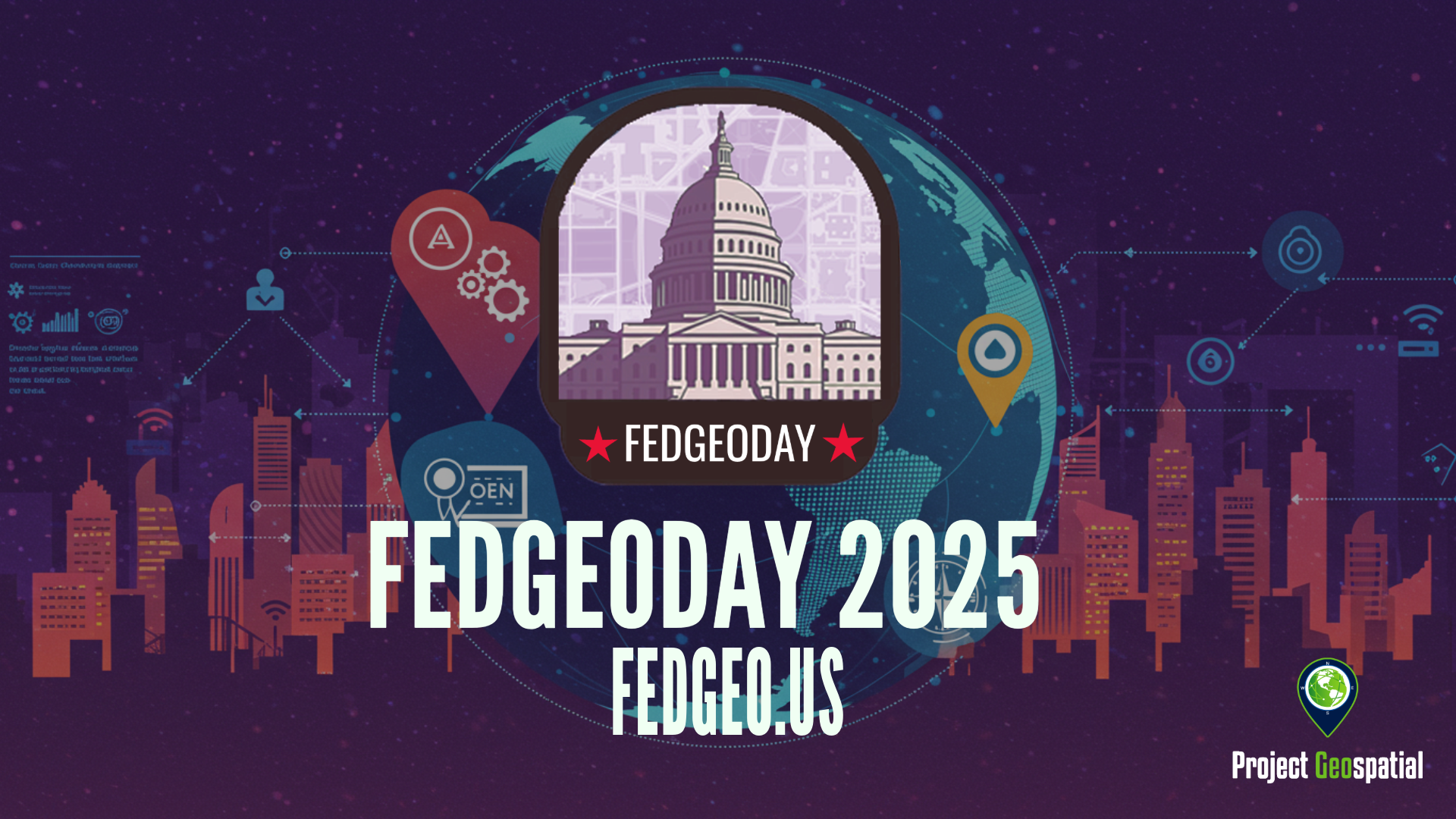
Open Source Geospatial Takes Center Stage for Resilience at FedGeoDay 2025
FedGeoDay 2025, held April 22nd in Washington D.C., was a packed and energized convergence of over 200 geospatial experts dedicated to a vital mission: building resilience through open source tools and data. Project Geospatial's coverage of the event revealed a community deeply committed to collaboration, showcasing everything from NASA's critical Earth observation data applications and foundational government datasets like USGS's 3DAP to the complexities of AI reliability, the dynamics of open data initiatives like OpenStreetMap and Overture Maps, and the necessity of robust cybersecurity. The day underscored the immense potential of open geospatial solutions in facing increasing challenges and the collective effort required to harness their power for societal benefit. The palpable energy and high turnout signaled a community ready to tackle complex problems together, leveraging open platforms for a more resilient future.