
The Heartbeat of the Map: Why the Future of Geospatial is Built on Open Code and Community

A Tale of Two Maps
Consider two scenarios, each a testament to the power of modern geospatial technology. In the first, a global hospitality giant like Marriott builds a sophisticated "Risk Atlas" using Esri's ArcGIS platform. This system analyzes a torrent of data—news reports, social media, meteorological information—to evaluate threat levels by location, ensuring the safety of travelers and assets around the world. In another corner of the corporate world, FedEx executives monitor global dashboards, tracking real-time information on plane schedules and performance to maintain the intricate logistics network that underpins modern commerce. This is a world of polished interfaces, 24/7 technical support, and vendor accountability—a world built on powerful, proprietary software.
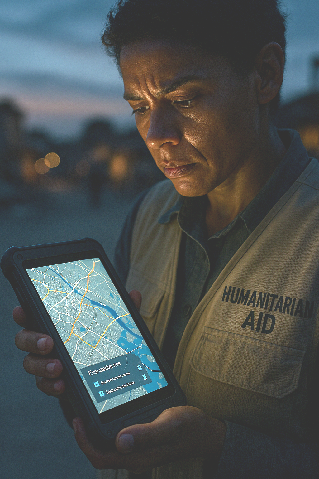
Now, pivot to a different scene. In the immediate, chaotic aftermath of the devastating earthquake in Turkey and Syria, a different kind of army mobilizes. Thousands of volunteers from across the globe, connected only by a shared purpose and a set of open tools, descend upon the digital landscape of OpenStreetMap (OSM). They work tirelessly, updating maps with critical, life-saving data: which roads are impassable, where temporary shelters are located, which buildings have collapsed. This information flows directly to first responders on the ground, guiding their search and rescue efforts. One participant described the experience as "incredibly thrilling," witnessing a global community collaborate to provide aid in a moment of profound crisis. This is a world of agility, passion, and immense social impact—a world built on free and open-source software (FOSS).
These two stories, one of corporate precision and the other of community-driven crisis response, are not in opposition. They represent two powerful currents in the same river. The geospatial industry is not a battleground between these models but a complex, thriving ecosystem where both coexist and often intertwine. The critical question for any organization today is not "which one is better?" but rather, "how do we strategically balance these powerful forces to achieve our goals, and what is our responsibility to the community that provides so much of the foundational technology we all rely on?" The difference between the two scenarios is not merely technological; it is about the mobilization of human capital. The proprietary model's success relies on a centralized, paid workforce, while the open-source model's power comes from a decentralized, passion-driven global community. For an organization, engaging with that community is not just a software choice; it is a strategic investment in resilience.
The Bedrock of Our Digital World: Deconstructing the Code
To navigate this ecosystem, one must first understand the fundamental philosophies that drive these two models. The distinction goes far deeper than cost; it is about control, transparency, and the very relationship between the creator of a tool and its user.
Proprietary software, also known as closed-source, operates on a simple premise: the source code—the human-readable instructions that constitute the program—is a protected trade secret. When an organization purchases a license for proprietary GIS software, it is buying the right to use a finished product. It is akin to buying a car with the hood welded shut; you can drive it, but you cannot inspect the engine, modify its performance, or repair it yourself. The vendor retains all control, providing updates and support on its own terms.
Open-source software (OSS) represents a radically different ideology. Defined by licenses like the GNU General Public License (GPL) or the Apache 2.0 license, OSS makes its source code freely available for anyone to view, study, modify, and redistribute. This philosophy, championed by early advocates like Christine Peterson, is an expression of developer freedom and a belief in the power of collaborative improvement. It is not just about free-of-charge software; it is about the freedom to innovate and the transparency that comes from community oversight. For many developers, the appeal is deeply personal—it is the "fun" of creation and the profound satisfaction of building something valuable that helps others.
This philosophical divide creates two distinct user relationships. A proprietary license creates a consumer, a passive recipient of technology whose ability to adapt the tool is limited by the vendor's roadmap. An open-source license, however, creates a potential co-owner or contributor. By granting the rights to modify and redistribute, it empowers users to become active participants in the technology's evolution. Therefore, the decision to adopt one model over the other is not merely a procurement choice. Adopting proprietary software is buying a solution; adopting open source is joining an ecosystem. It is a decision that speaks to an organization's culture, its long-term goals, and its desire for technological sovereignty.
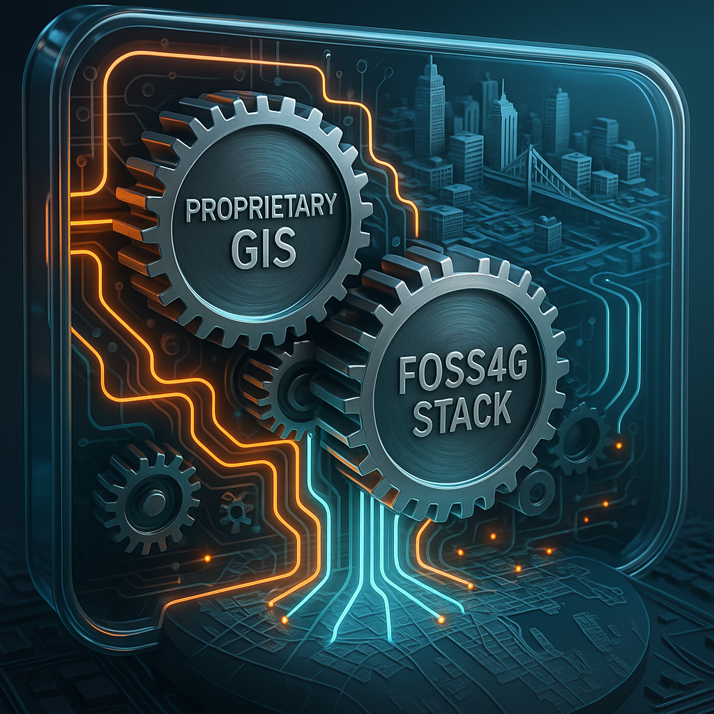
The Geospatial Arena: Titans and Trailblazers
These competing philosophies have given rise to a vibrant and dynamic geospatial software market, dominated by a powerful incumbent and a formidable, community-built alternative.
The Reigning Titan: Esri and the ArcGIS Ecosystem
For decades, Esri's ArcGIS platform has been the industry's system of record. It is a vast, integrated ecosystem of software and services that provides a comprehensive solution for organizations of all sizes. From asset management and urban planning to supply chain optimization and environmental conservation, ArcGIS offers a tool for nearly every conceivable geospatial task. Its primary strengths lie in its completeness and polish. For new users, its wizard-driven interfaces offer a shorter learning curve. For large enterprises and government agencies, the value proposition is clear: world-class technical support, certified training paths, and the security of a single, accountable vendor for a mission-critical system.
The People's Champions: The FOSS4G Stack
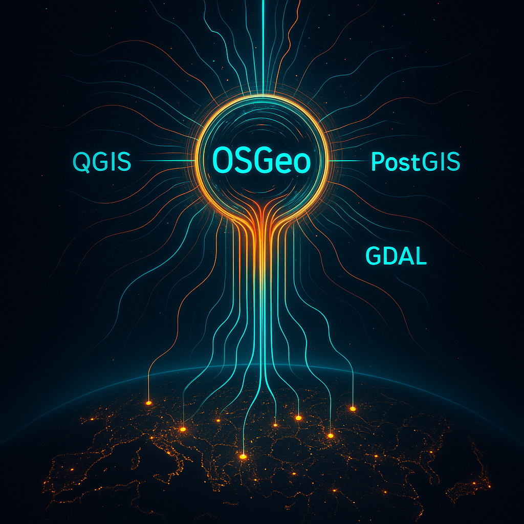
Challenging this integrated model is not a single product but a powerful, modular "stack" of open-source tools, often referred to as the FOSS4G (Free and Open Source Software for Geospatial) stack. At the heart of this ecosystem are several key projects:
QGIS: The flagship open-source desktop GIS. Directly comparable to Esri's ArcMap and ArcGIS Pro, QGIS is a professional-grade application for data viewing, editing, and analysis. Its cross-platform flexibility (running on Windows, Mac, and Linux), intuitive interface, and a massive, ever-expanding library of community-built plugins make it a powerful alternative that rivals, and in some cases exceeds, its commercial counterparts.
PostgreSQL with PostGIS: Widely regarded as the world's most advanced open-source relational database, PostgreSQL becomes a full-fledged spatial database with the PostGIS extension. It is the high-performance backbone for countless geospatial applications, both open source and proprietary.
GeoServer and MapServer: These are the workhorses of web mapping. They are server applications that allow users to publish geospatial data and services on the web using open standards established by the Open Geospatial Consortium (OGC).
Foundational Libraries (GDAL/OGR, PROJ, GEOS): These are the unsung heroes of the geospatial world. Libraries like GDAL/OGR, which provides the ability to read and write hundreds of raster and vector formats, are so fundamental that they are embedded within a vast array of other software—including Esri's own ArcGIS platform.
This table summarizes the core trade-offs a decision-maker must consider:
| Feature | Proprietary (e.g., ArcGIS) | Open Source (e.g., QGIS/PostGIS Stack) |
|---|---|---|
| Cost Model | High initial license fees, recurring annual maintenance/subscriptions. | No license fees. Costs shift to implementation, training, and optional support. |
| Support | Centralized, vendor-provided 24/7 support with Service-Level Agreements (SLAs). | Community-based (forums, mailing lists) or paid third-party commercial support. Quality can vary. |
| Customization | Limited to vendor-provided APIs/SDKs. Deep modifications can void warranty. | Unlimited. Full source code access allows for deep customization and creation of new features. |
| Ease of Use | Polished, wizard-driven interfaces. Generally a shorter learning curve for new users. | Can have a steeper initial learning curve, though QGIS is noted for its user-friendly interface. |
| Innovation | Roadmap driven by vendor's market analysis. Can be slower but steady. | Community-driven and rapid, especially for niche features. Often more cutting-edge. |
| Security | Security through vendor audits. A "black box" that users must trust. | Security through transparency. Source code is open for public audit, a feature highly valued by security-conscious agencies. |
Beyond the Binary: The Rise of the Hybrid Ecosystem
The "versus" debate, while useful for outlining philosophical differences, is becoming increasingly obsolete. The reality of the modern geospatial landscape is one of interoperability and strategic blending. Smart organizations are no longer picking a side; they are building hybrid systems that leverage the best of both worlds.
The market leader, Esri, has itself embraced this reality. ArcGIS is engineered as an "open system" that conforms to OGC standards like WMS and WFS, ensuring it can communicate seamlessly with other platforms. More profoundly, ArcGIS is built upon a foundation of open-source components; the software integrates over 80 open-source tools, including the Python programming language and the indispensable GDAL library. Esri also actively contributes to the community by releasing its own open-source projects on GitHub, such as Esri Leaflet and the ArcGIS Editor for OpenStreetMap, explicitly encouraging users to adopt a hybrid model.
Simultaneously, the FOSS world has matured to meet the rigorous demands of the enterprise. Open-source tools are no longer just for hobbyists or academics; they are now comparable to, and in some areas like 3D voxel capabilities, exceed their commercial counterparts. A robust ecosystem of commercial companies, such as GeoSolutions, now offers professional support, training, and consulting services, making FOSS a viable and sustainable choice for even the largest and most risk-averse organizations. The modern, pragmatic approach is now the hybrid strategy. As one report notes, "Many organizations refuse to pick only one lane. They draft maps in ArcGIS Pro, push layers into PostGIS, and publish web tiles through open-source stacks".
This convergence reveals a deeper trend: the industry is not standardizing on a single software model, but on a single data model driven by open standards. When data served from an open-source GeoServer can be consumed by ArcGIS, and data from an ArcGIS Server can be consumed by QGIS, the software itself becomes an interchangeable client for the underlying data. This forces all vendors, both proprietary and open-source, to support open standards to remain relevant. The strategic focus for organizations must therefore shift from simply choosing a desktop GIS to building a robust, standards-compliant, and interoperable data infrastructure.
The Soul of the Machine: The OSGeo Foundation and the Power of Community
To truly understand open-source geospatial technology, one must look beyond the code and see the global community that builds and sustains it. The organizational heart of this movement is the Open Source Geospatial Foundation (OSGeo). Founded in February 2006, OSGeo is not a software company but a non-profit organization, modeled after the Apache Software Foundation, created to provide financial, organizational, and legal support to the FOSS4G community.
The history of this movement is deep, with roots in projects like GRASS GIS, which began development by the U.S. Army Corps of Engineers as early as 1982. OSGeo's mission extends far beyond software development. It is dedicated to promoting open access to geospatial data, fostering education through its "Geo for All" initiative, and championing collaboration across a global network. This is a massive, living entity, with over 35,000 subscribers to its many mailing lists, all collaborating through wikis, forums, and real-time chat.
This human element is the true "secret sauce" of open source. The greatest advantage of FOSS is not its lack of a price tag, but the power of its community. The emotional reward for contributors often comes from seeing their creations used for social good and making users' lives better. This tangible impact is evident everywhere: from the rapid disaster response in Turkey to improving water access in Niger and enabling critical public health analysis during the COVID-19 pandemic. The decentralized, community-driven structure of OSGeo is directly responsible for the technical resilience and rapid innovation of its software projects. While a proprietary company's innovation is limited by the size and vision of its R&D department, open-source innovation is limited only by the collective imagination and energy of its global community. Supporting OSGeo is an investment in a uniquely creative and resilient model of technological development.
The Business of Free: How Open Source Sustains Itself
A common question from business leaders is, "If the software is free, how can it be sustainable and reliable for my enterprise?" This question stems from a misunderstanding of the word "free." In the open-source world, "free" refers to freedom, not price. The total cost of ownership for FOSS is not zero; the investment simply shifts from recurring license fees to personnel, training, and optional commercial support. Over the past two decades, a number of proven and sustainable business models have been built around this principle:
Systems Integration & Support: This is the most prevalent model in the geospatial world. Companies do not sell the software itself; they sell their expertise in implementing, customizing, and supporting it. As geospatial folk hero Paul Ramsey of Crunchy Data famously paraphrased, "In the proprietary model you pay a subscription to license the software and get support for free — in the open source model, you pay a subscription for support and get the software for free". Companies like Crunchy Data (for PostGIS) and GeoSolutions (for GeoServer and GeoNode) are prime examples.
Open Core: In this model, a company offers a free, fully open-source "core" version of their product while selling a proprietary "enterprise" version with additional features like advanced security, administrative dashboards, or seamless integrations. The open-source version acts as a powerful marketing and lead-generation tool, allowing developers to adopt and champion the technology within their organizations.
Constellation of Libraries: Pioneered by companies like Mapbox, this model involves creating and open-sourcing a vast ecosystem of underlying libraries and tools. The company then builds a proprietary, value-added Software-as-a-Service (SaaS) product on top of this open foundation. This strategy establishes them as thought leaders and fosters a broad community of developers who use their foundational tools.
These models fundamentally change the vendor-customer relationship. A proprietary sale is transactional. A FOSS support contract, however, is a partnership. The vendor's revenue depends not on a one-time sale but on the client's ongoing success with the software. This creates a powerful alignment of interests and a virtuous cycle: the client's support payments often fund improvements that are contributed back to the main project, strengthening the software for the entire community.
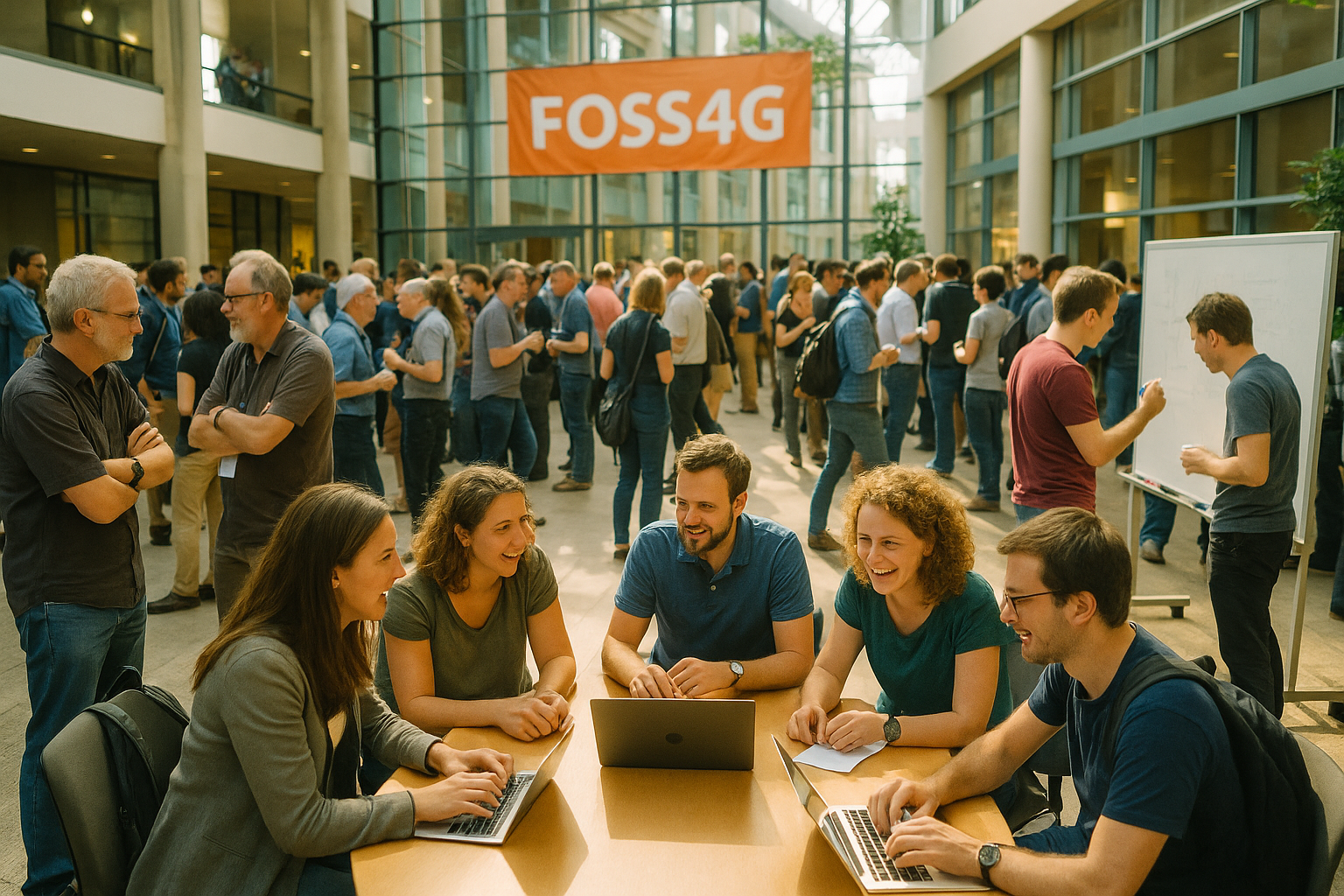
The Annual Gathering: Why Your Organization Must Be at FOSS4G
If OSGeo is the heart of the open-source geospatial community, then the annual FOSS4G conference is its heartbeat. Described as the "main meeting place and educational outreach opportunity" for the entire ecosystem, it is the physical embodiment of the global network. For any organization that uses or is considering using FOSS4G, attendance is not an expense; it is a strategic investment with a clear return.
The upcoming FOSS4G North America conference, to be held November 3-5, 2025, in Reston, VA, serves as a perfect example of the value on offer.
For Technologists, it is an unparalleled opportunity for learning and problem-solving. The agenda is packed with hands-on workshops and technical sessions on cutting-edge topics like vector tiles, OGC APIs, GeoAI, and 3D visualization. More importantly, it offers direct access to the core developers of the software they use every day.
For Managers and Decision-Makers, it is a crucial venue for strategic intelligence. The conference provides a clear view of the industry's trajectory, showcases innovative solutions, and offers a prime opportunity to scout top-tier talent. The dedicated B2B networking sessions are designed to connect organizations with commercial support providers, de-risking the adoption of FOSS by building relationships and seeing the health of the ecosystem firsthand.
For the Organization, sending team members is a powerful tool for professional development and employee retention. It is also a direct way to give back to the community that develops and maintains these critical tools. As Paul Ramsey noted in a keynote, a key challenge for FOSS is the lack of funding for core development. Sponsoring or attending FOSS4G is a direct way to help solve this "tragedy of the commons" and ensure the tools you rely on continue to thrive.
Beyond the tangible ROI, however, is the intangible value of the experience itself. Testimonials from past attendees consistently emphasize the people and the unique atmosphere. "Everyone was open to sharing their work, successes, and struggles which made the conference so fantastic," one attendee noted. Another remarked, "I could sit in a central area and just talk to people for 3 days... people are the most important part of this whole thing for me". Attending FOSS4G is the most efficient way for an organization to transition from being a passive consumer of open-source software to an active participant in the ecosystem. The true value of open source is not realized by simply downloading the software; it is unlocked by engaging with the community behind it. FOSS4G is the primary gateway to that engagement.
Investing in a Shared Future
The geospatial landscape is a dynamic, hybrid ecosystem. The old binaries of proprietary versus open source are dissolving in the face of open standards and pragmatic, blended solutions. At the foundation of this new world lies a global community of developers, users, and advocates who have built a powerful, enterprise-ready stack of open-source tools.
Supporting this community is not an act of charity; it is a strategic imperative. Whether it is by contributing code, sponsoring an OSGeo project, or sending your team to FOSS4G, you are making a direct investment in the foundational infrastructure of the modern geospatial world. You are ensuring that the tools that power everything from corporate logistics to humanitarian aid remain innovative, resilient, and accessible to all.
The best GIS strategy today is one that is agile, allowing you to pivot to meet the challenges of tomorrow. Deep engagement with the open-source community is the ultimate key to that agility. It is an investment in a shared, more collaborative future. It is how we ensure the heartbeat of the map remains strong for decades to come.
-
Geospatial Platform | ArcGIS GIS Software for Business & Government - Esri, accessed August 26, 2025, https://www.esri.com/en-us/arcgis/geospatial-platform/overview
Open-Source GIS vs. Proprietary GIS: Pros, Cons, And Use Cases - Cyber Security News, accessed August 26, 2025, https://cybersecuritynews.com/open-source-gis-vs-proprietary-gis-pros-cons-and-use-cases/
Geospatial Data for Social Impact | by Omowonuola Akintola | Medium, accessed August 26, 2025, https://medium.com/@omowonuola_A./geospatial-data-for-social-impact-fd10755ffa99
10 Differences Between Commercial And Open Source GIS Software - eoMAG, accessed August 26, 2025, https://eomag.eu/10-differences-between-commercial-and-open-source-gis-software/
A Guide to Open Source GIS Software for the Public Sector - PSD Citywide, accessed August 26, 2025, https://www.psdcitywide.com/guide-open-source-gis-software-for-the-public-sector/
Open Source GIS Software - N.C. Department of Information ..., accessed August 26, 2025, https://it.nc.gov/open-gis-software-guide-understanding-current-gis-software-solutions/download?attachment
Open Source Technology and Esri | ArcNews Online, accessed August 26, 2025, https://www.esri.com/news/arcnews/spring11articles/open-source-technology-and-esri.html
Open Source Software and Corporate Influence - Andrew Lilley Brinker, accessed August 26, 2025, https://www.alilleybrinker.com/blog/open-source-software-and-corporate-influence/
OSGeo: Professionally Leveraging Open Source, accessed August 26, 2025, http://www.fig.net/pub/fig2014/papers/TS08H/TS08H_christl_7371.pdf
Open-source is where dreams go to die : r/programming - Reddit, accessed August 26, 2025, https://www.reddit.com/r/programming/comments/1iyj3e0/opensource_is_where_dreams_go_to_die/
Importance of Open Source GIS software - Open Source GIS Data, accessed August 26, 2025, https://opensourcegisdata.com/importance-of-open-source-gis-software.html
(PDF) Open Source GIS: A Review - ResearchGate, accessed August 26, 2025, https://www.researchgate.net/publication/282858368_Open_Source_GIS_A_Review
Free, Open-Source and proprietary GIS software options - Max Dietrich, accessed August 26, 2025, https://mxd.codes/articles/gis-software-options-free-open-source-and-proprietary
QGIS: Open-Source GIS for Geospatial Data and Map Analysis - Curate Partners, accessed August 26, 2025, https://curatepartners.com/blogs/skills-tools-platforms/qgis-unlocking-the-power-of-open-source-gis-for-geospatial-data-and-map-analysis/
Projects Archive - OSGeo, accessed August 26, 2025, https://www.osgeo.org/projects/
Open Source Geospatial Foundation - Wikipedia, accessed August 26, 2025, https://en.wikipedia.org/wiki/Open_Source_Geospatial_Foundation
OSGeo: Mapping the World of Open Source Geospatial Software - Earthzine, accessed August 26, 2025, https://earthzine.org/osgeo-mapping-the-world-of-open-source-geospatial-software/
Open Source or Esri: Pros and Cons? : r/gis - Reddit, accessed August 26, 2025, https://www.reddit.com/r/gis/comments/8xgdco/open_source_or_esri_pros_and_cons/
5 Q's for Chris Rasmussen, Public Open Source Software Development Lead at the National Geospatial-Intelligence Agency - Center for Data Innovation, accessed August 26, 2025, https://datainnovation.org/2015/07/5-qs-for-chris-rasmussen-public-open-source-software-development-lead-at-the-national-geospatial-intelligence-agency/
Defining Open - Esri, accessed August 26, 2025, https://www.esri.com/news/arcuser/0612/defining-open.html
Open Source GIS Software | ArcGIS Supports 350+ Projects - Esri, accessed August 26, 2025, https://www.esri.com/en-us/arcgis/open-vision/initiatives/open-source
FOSS4G North America - NOV 3-5, 2025 - Reston, VA - Save the ..., accessed August 26, 2025, https://www.geosolutionsgroup.com/news/foss4g-north-america-n2025/
An analysis of open source GIS software business models and case studies, accessed August 26, 2025, https://pure.ewha.ac.kr/en/publications/an-analysis-of-open-source-gis-software-business-models-and-case-
Open Source GIS History - OSGeo Wiki, accessed August 26, 2025, https://wiki.osgeo.org/wiki/Open_Source_GIS_History
Applications of GIS and geospatial analyses in COVID-19 research: A systematic review - PMC - PubMed Central, accessed August 26, 2025, https://pmc.ncbi.nlm.nih.gov/articles/PMC8822139/
Three Models for Commercializing Open Source Software | by Joe ..., accessed August 26, 2025, https://joemorrison.medium.com/three-models-for-commercializing-open-source-software-84d3130c82cd
FOSS4G North American Conference Nov 3-5, 2025 in Reston, VA - CHRISTINA FRIEDLE, accessed August 26, 2025, https://www.christinafriedle.com/blog/foss4g-north-american-conference-nov-3-5-2025-in-reston-va
FOSS4G NA 2025 - OSGeo, accessed August 26, 2025, https://www.osgeo.org/events/foss4g-na-2025/
FOSS4GNA - Squarespace, accessed August 26, 2025, https://static1.squarespace.com/static/6660a51220c4d544be347123/t/681a9e723bd3be22bb7ccbf5/1746574962919/FOSS+2025+Exhibitor+%26+Sponsor+Brochure+FINAL.pdf
FOSS4G NA Conference - GeoFutures Events Calendar - Greater St. Louis, Inc., accessed August 26, 2025, https://geofuturesevents.greaterstlinc.com/event/foss4g-na-conference/
FOSS4GNA 2019 - The Short Review - North River Geographic Systems Inc, accessed August 26, 2025, https://www.northrivergeographic.com/foss4gna-2019-the-short-review/
FOSS4G 2017 Recap - Geospatial Response, accessed August 26, 2025, https://geospatialresponse.wordpress.com/2017/09/04/foss4g-2017-recap/
How to Contribute to Open Source | Open Source Guides, accessed August 26, 2025, https://opensource.guide/how-to-contribute/oes here