


GEOSPATIAL FRONTIERS
A Publication by Project Geospatial
LOOKING BEYOND
THE MAP
Geospatial Frontiers, a new publication from Project Geospatial, brings together leading voices and experts from across the geospatial ecosystem to tackle the industry's most pressing challenges. Through in-depth articles and discussions, Geospatial Frontiers aims to explore innovative solutions and spark critical conversations that will shape the future of geospatial technology and its applications.
CONTRIBUTING AUTHORS

Adam Simmons

Keith Barber

Fred Woods

Matthew Husted

Chris Vaughan
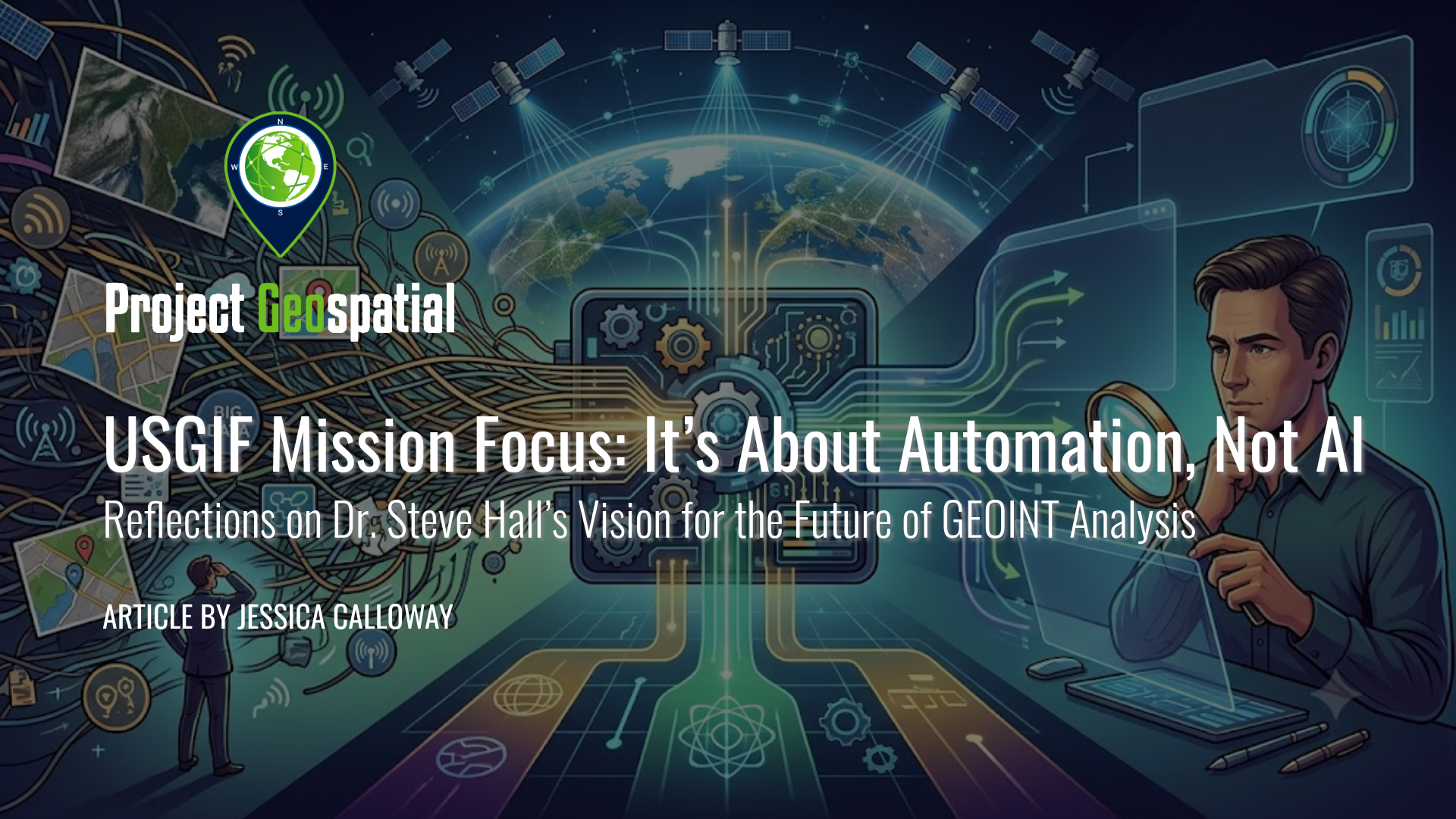
USGIF Mission Focus: It’s About Automation, Not AI
Discover why NGA’s Deputy Director of Analysis, Dr. Steve Hall, believes the future of GEOINT is driven by automation rather than just artificial intelligence. In this recap of the recent USGIF Mission Focus event, explore how big data pipelines and automated workflows are empowering intelligence analysts to focus on their greatest competitive advantage: human expertise, critical thinking, and complex problem-solving.

Talk to the Map: Is Natural-Language GIS the Next Public Geoportal Interface?
Discover how Natural-Language GIS (NL-GIS) is revolutionizing the civic sphere by transforming complex geographic information systems into intuitive, conversational interfaces. For decades, valuable municipal data has been locked behind steep technical barriers, requiring advanced programming or specialized desktop software. Now, by merging large language models (LLMs) with GIScience, a new paradigm allows community advocates, local journalists, and emergency responders to execute advanced spatial analysis, run real-time network routing, and generate custom cartography using plain English commands.
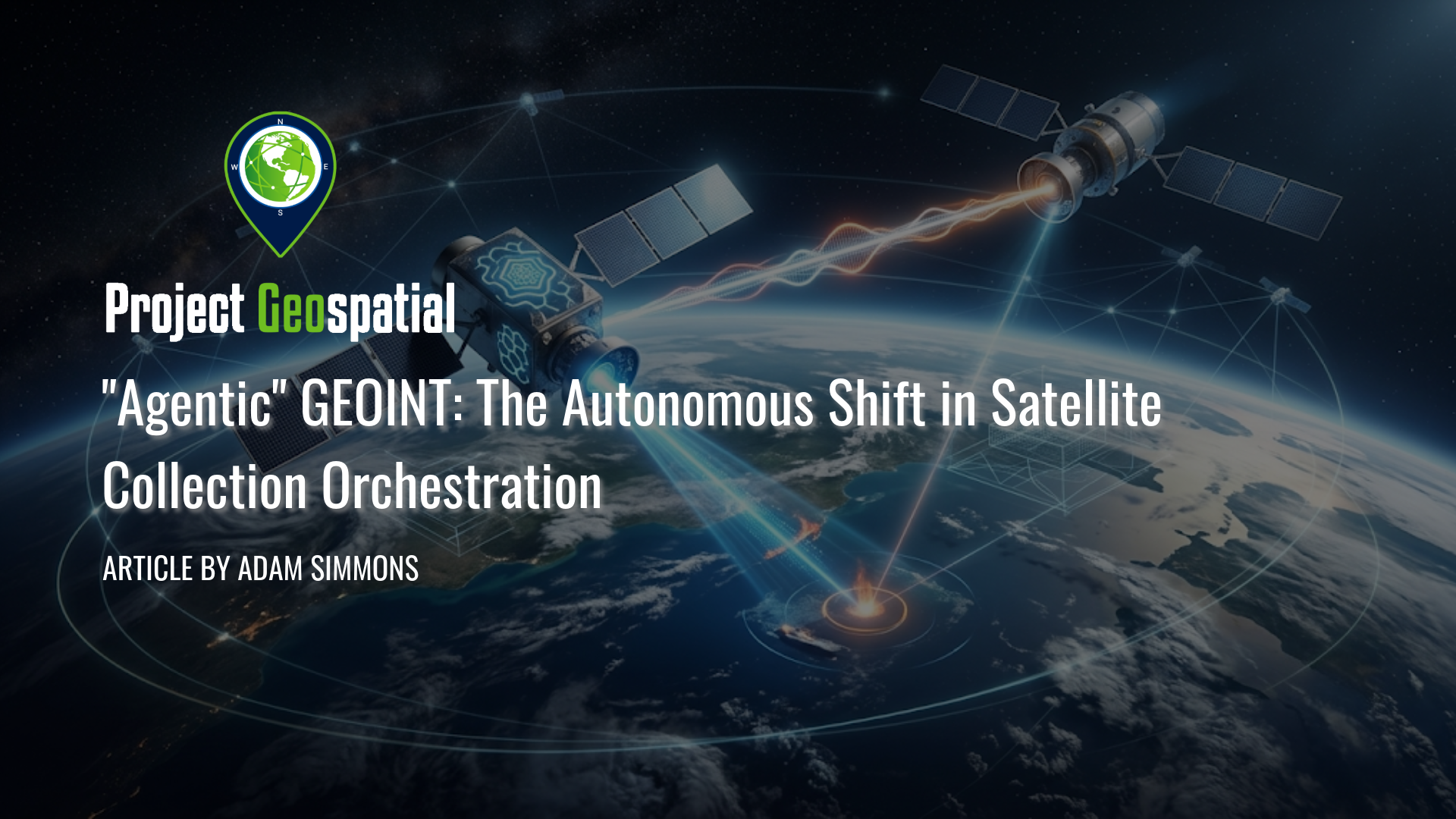
"Agentic" GEOINT: The Autonomous Shift in Satellite Collection Orchestration
Discover how Agentic GEOINT is revolutionizing the geospatial intelligence industry by shifting from manual satellite dashboards to autonomous, AI-driven orchestration. This comprehensive article explores the mechanics of automated "tip-and-cue" workflows, in-orbit edge computing, and the critical transition to a "Human-on-the-Loop" operational model. Read on to learn how agentic AI eliminates costly human bottlenecks to create a real-time, unified sensing network for commercial and defense applications.
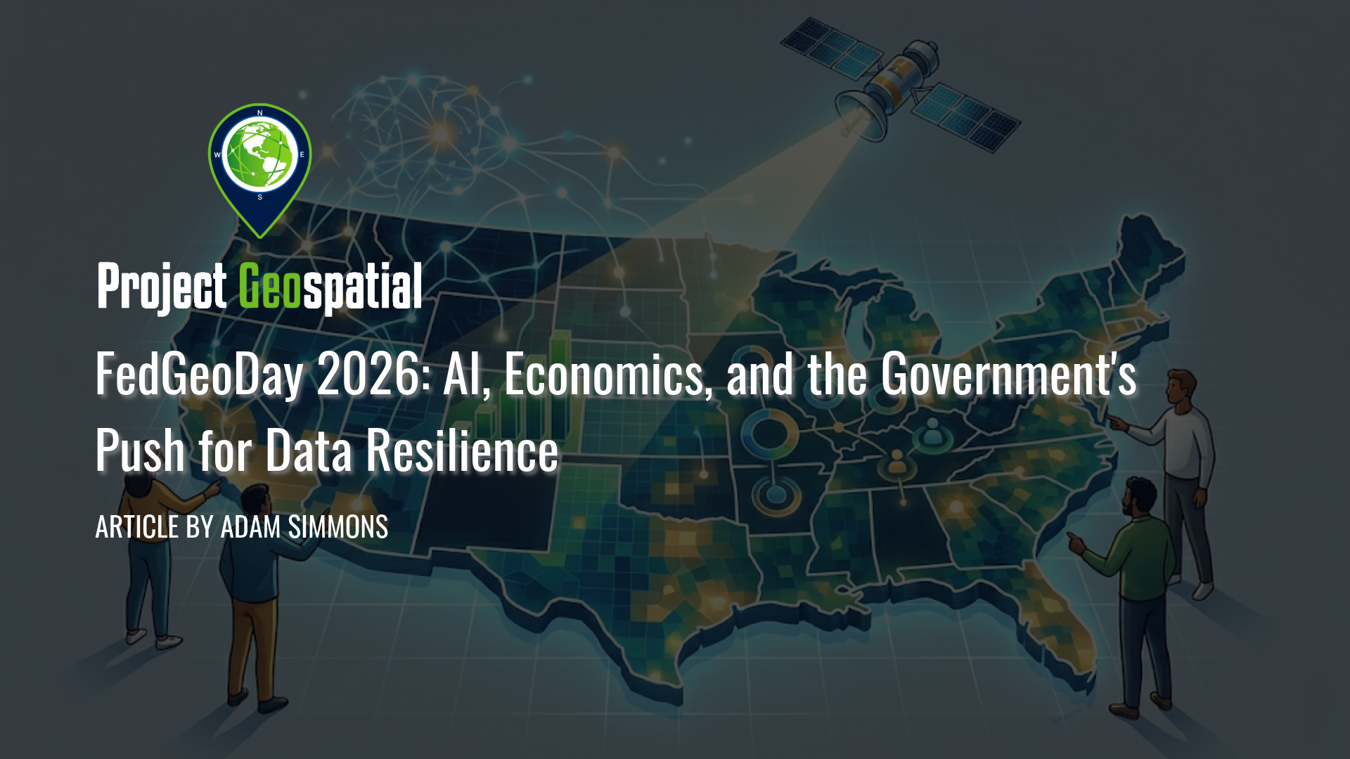
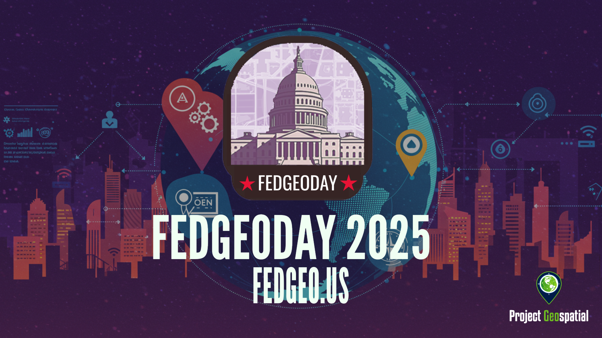
FedGeoDay 2026: AI, Economics, and the Government's Push for Data Resilience
Discover top insights from FedGeoDay 2026. Learn how the federal geospatial community is leveraging AI , open-source tools , and collaborative data resilience to navigate budget constraints and build the future of economic mapping.
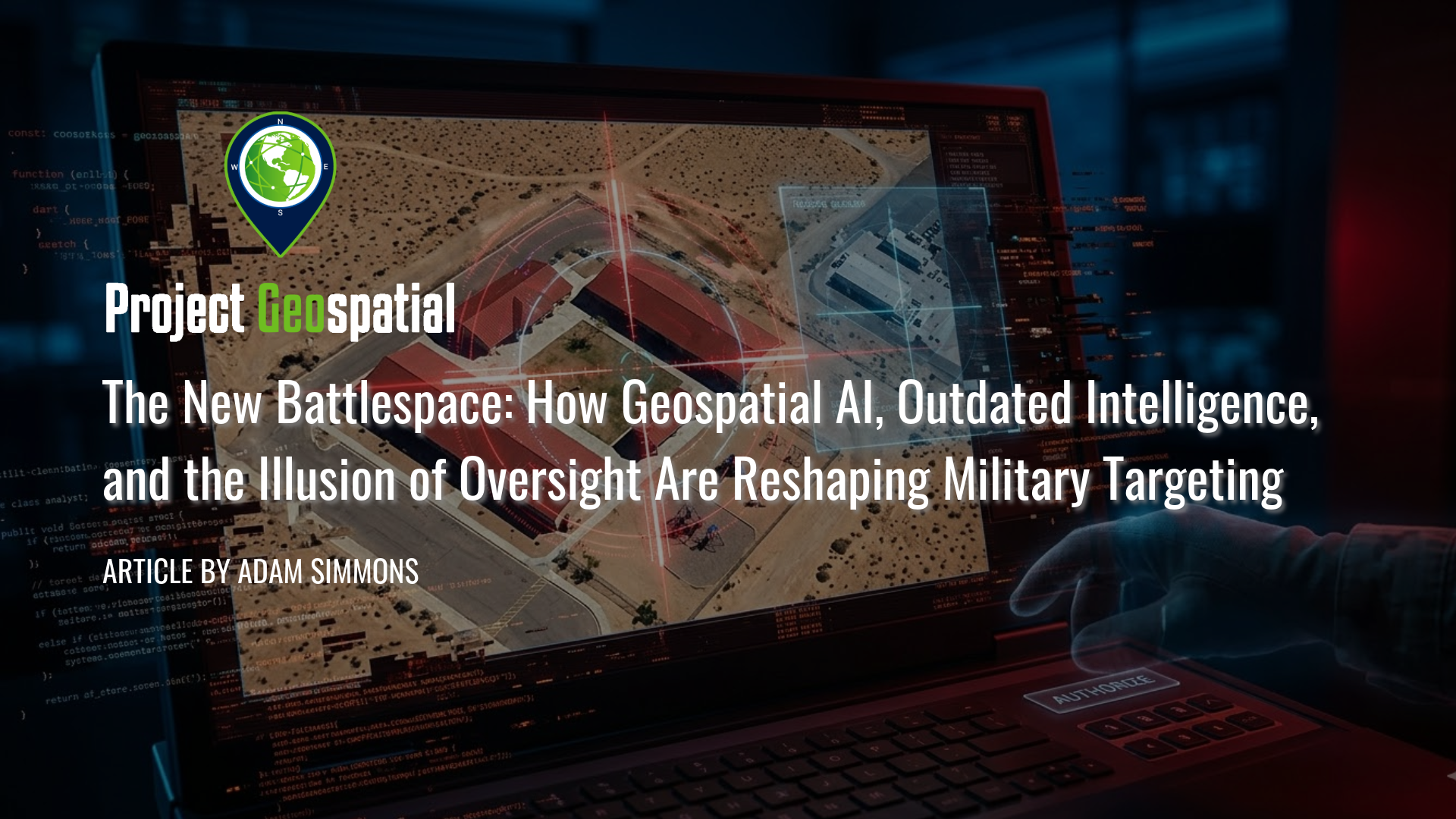
The New Battlespace: How Geospatial AI, Outdated Intelligence, and the Illusion of Oversight Are Reshaping Military Targeting
In this critical analysis of the new algorithmic battlespace, we explore how Geospatial AI and scaling failures are driving catastrophic military targeting errors. Prompted by the tragic civilian strike in Minab, Iran, this article dissects the fatal intersection of Defense Intelligence Agency (DIA) database rot, the outdated Modernized Integrated Database (MIDB), and automated kill chains. Discover how the military's aggressive push for AI target generation has fundamentally broken the "human-in-the-loop" safeguard, reducing traditional intelligence vetting to an illusion of oversight. By examining the psychological toll of cognitive offloading and automated bureaucracy, we reveal why overwhelming human analysts with algorithmic output doesn't just risk mass civilian casualties and fratricide, it weaponizes administrative failure.
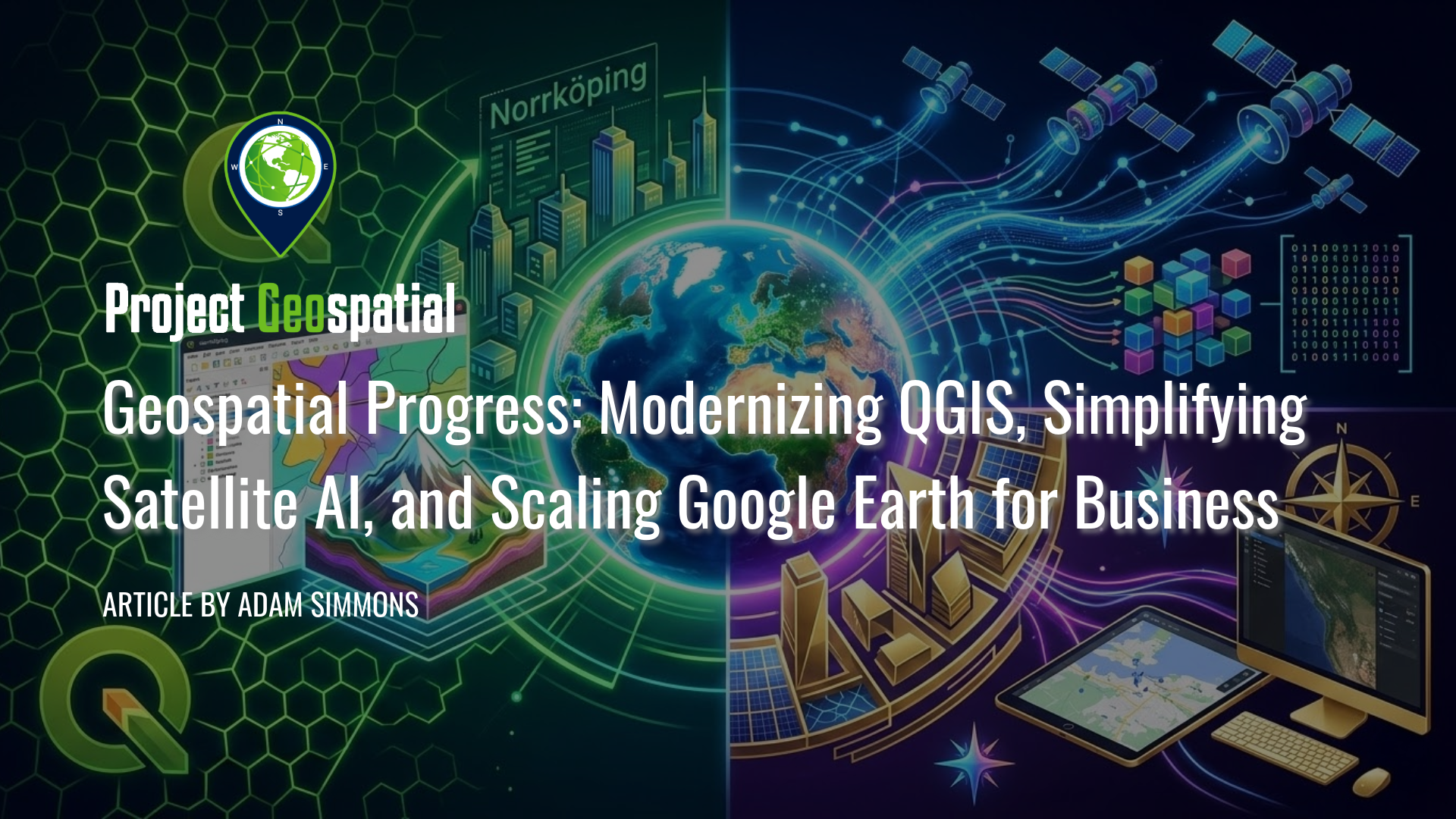
Geospatial Progress: Modernizing QGIS, Simplifying Satellite AI with Alpha Earth, and Scaling Google Earth for Business
The geospatial industry witnessed a transformative week with three major announcements that bridge the gap between open-source legacy and AI-driven enterprise intelligence. Leading the charge is the long-awaited release of QGIS 4.0 "Norrköping," a massive structural leap that migrates the premier open-source desktop GIS to the Qt6 framework for superior performance and security. Simultaneously, Google DeepMind unveiled its 2025 AlphaEarth Foundations update, introducing 64-dimensional satellite embeddings that allow developers to "see through" cloud cover and decode complex planetary variables with unprecedented mathematical precision. Finally, Google Earth officially transitioned into a powerful business ecosystem with the launch of its Professional and Professional Advanced tiers, integrating Gemini-powered "agentic" AI and domain-specific data layers for high-stakes urban planning and sustainability workflows. Together, these releases signal a new era where raw planetary data is no longer a bottleneck but an analysis-ready instrument for global decision-making.
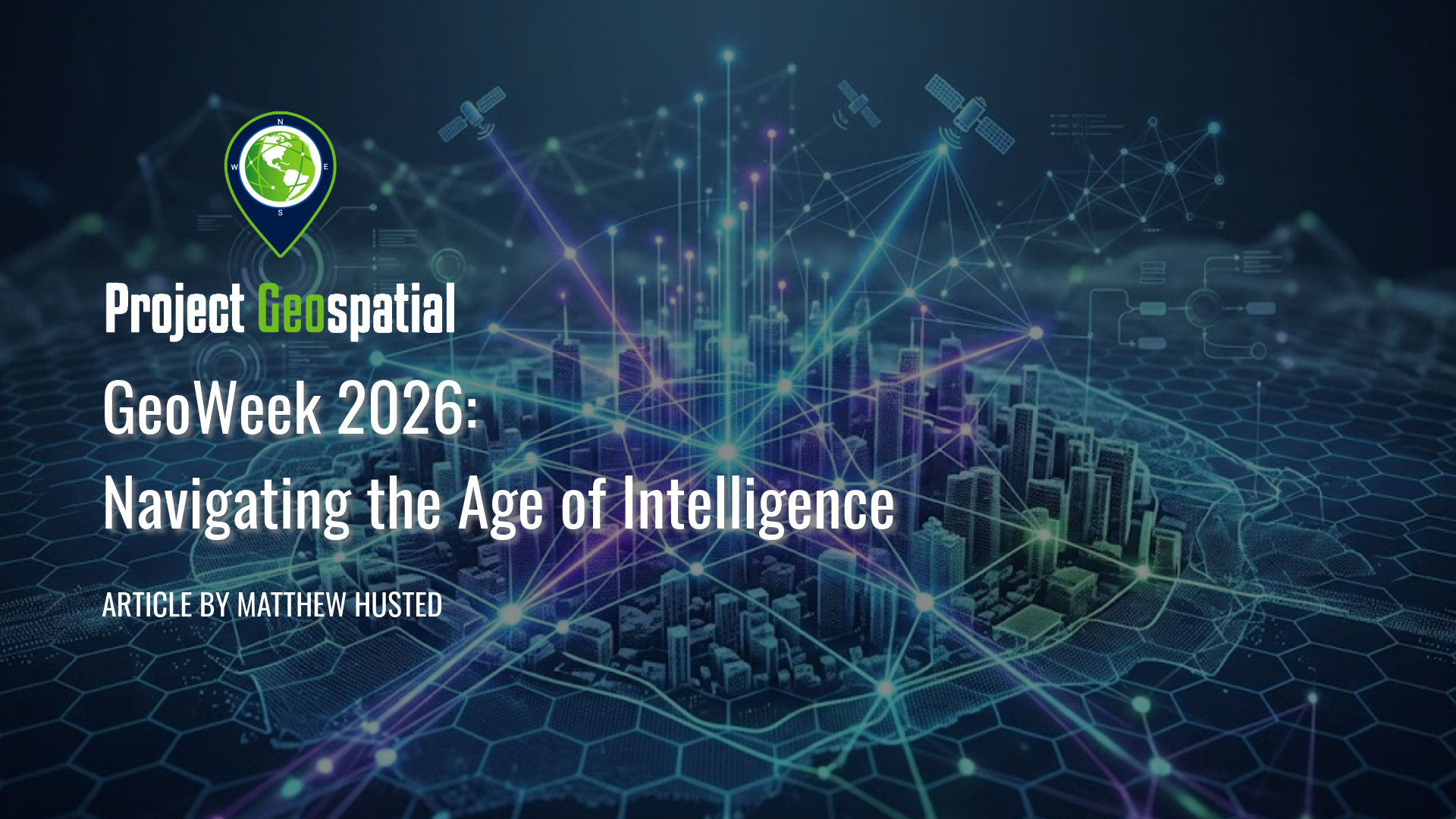
Geo Week 2026: Navigating the Age of Intelligence
Step inside Geo Week 2026 as the geospatial industry shifts from static GIS to dynamic Spatial Intelligence. From the latest advancements in AI and Reality Capture to navigating the industry's 'Workforce Paradox,' explore one veteran's journey into the future of the built world and learn why in-person networking remains the ultimate key to launching your geospatial career.

Cesium Developer Conference 2025: A Glimpse into the Geospatial Future, Reshaping Industries Worldwide
Explore the future of 3D geospatial innovation as charted at the Cesium Developer Conference in Philadelphia. This comprehensive recap covers groundbreaking advancements in open standards like 3D Tiles and glTF, the transformative impact of AI and Gaussian Splatting on reality capture, and the widespread adoption of digital twins in industries ranging from AEC and defense to climate resilience. Discover how Cesium's ecosystem—from CesiumJS and the Cesium ion cloud platform to powerful runtime plugins for Unreal Engine—is empowering over 400 innovators worldwide to build a more connected and intelligent virtual world
Open Source Geospatial Takes Center Stage for Resilience at FedGeoDay 2025
FedGeoDay 2025, held April 22nd in Washington D.C., was a packed and energized convergence of over 200 geospatial experts dedicated to a vital mission: building resilience through open source tools and data. Project Geospatial's coverage of the event revealed a community deeply committed to collaboration, showcasing everything from NASA's critical Earth observation data applications and foundational government datasets like USGS's 3DAP to the complexities of AI reliability, the dynamics of open data initiatives like OpenStreetMap and Overture Maps, and the necessity of robust cybersecurity. The day underscored the immense potential of open geospatial solutions in facing increasing challenges and the collective effort required to harness their power for societal benefit. The palpable energy and high turnout signaled a community ready to tackle complex problems together, leveraging open platforms for a more resilient future.