


GEOSPATIAL FRONTIERS
A Publication by Project Geospatial
LOOKING BEYOND
THE MAP
Geospatial Frontiers, a new publication from Project Geospatial, brings together leading voices and experts from across the geospatial ecosystem to tackle the industry's most pressing challenges. Through in-depth articles and discussions, Geospatial Frontiers aims to explore innovative solutions and spark critical conversations that will shape the future of geospatial technology and its applications.
CONTRIBUTING AUTHORS

Adam Simmons

Keith Barber

Fred Woods

Matthew Husted

Chris Vaughan
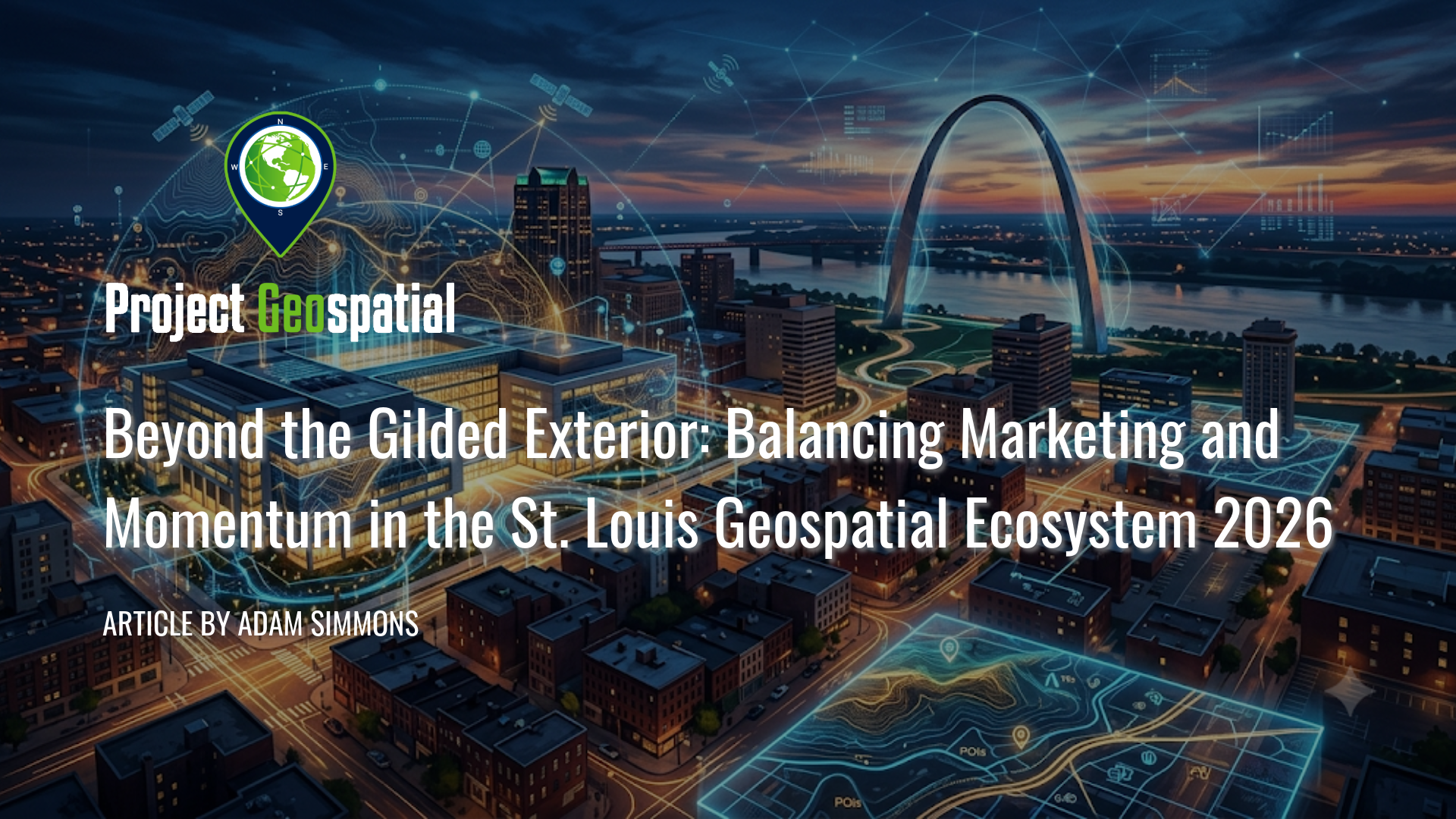
Beyond the Gilded Exterior: Balancing Marketing and Momentum in the St. Louis Geospatial Ecosystem 2026
As the pristine $1.7 billion Next NGA West campus stands as a physical reality in 2026, the St. Louis geospatial technology community faces a sobering inflection point. Beyond the polished civic marketing, high-profile symposia, and massive philanthropic investments lies a complex story of institutional fragmentation, leadership churn, and an uphill battle to turn top-down monuments into actual commercial payrolls. This investigative audit examines the launch of the GeoSTL backbone, the dramatic restructuring of Taylor Geospatial, and the systemic "Silo Effect" capping the region's true economic velocity. Read the definitive diagnostic dive into whether the Gateway City is genuinely transforming its economy or simply playing a massive marketing game on a beautifully designed stage.
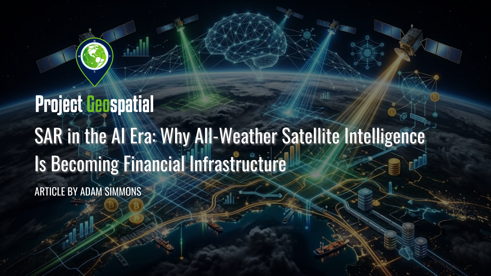
SAR in the AI Era: Why All-Weather Satellite Intelligence Is Becoming Financial Infrastructure
Discover how Artificial Intelligence is revolutionizing Synthetic Aperture Radar (SAR) technology, transforming all-weather satellite data into the next critical layer of global financial infrastructure. As the global SAR market scales toward $10.44 billion by 2034, advanced deep learning pipelines are dismantling historical barriers to commercialization—automating real-time hazard detection, parametric insurance underwriting, and maritime domain monitoring. Explore the shifting competitive landscape, from legacy aerospace giants like Airbus and MDA Space to agile NewSpace disrupters like ICEYE, Capella Space, iQPS, and Umbra’s unique royalty-free licensing model. Learn how proprietary AI analytics are shifting the Earth observation economy from raw pixel sales to high-margin, scalable data subscriptions.
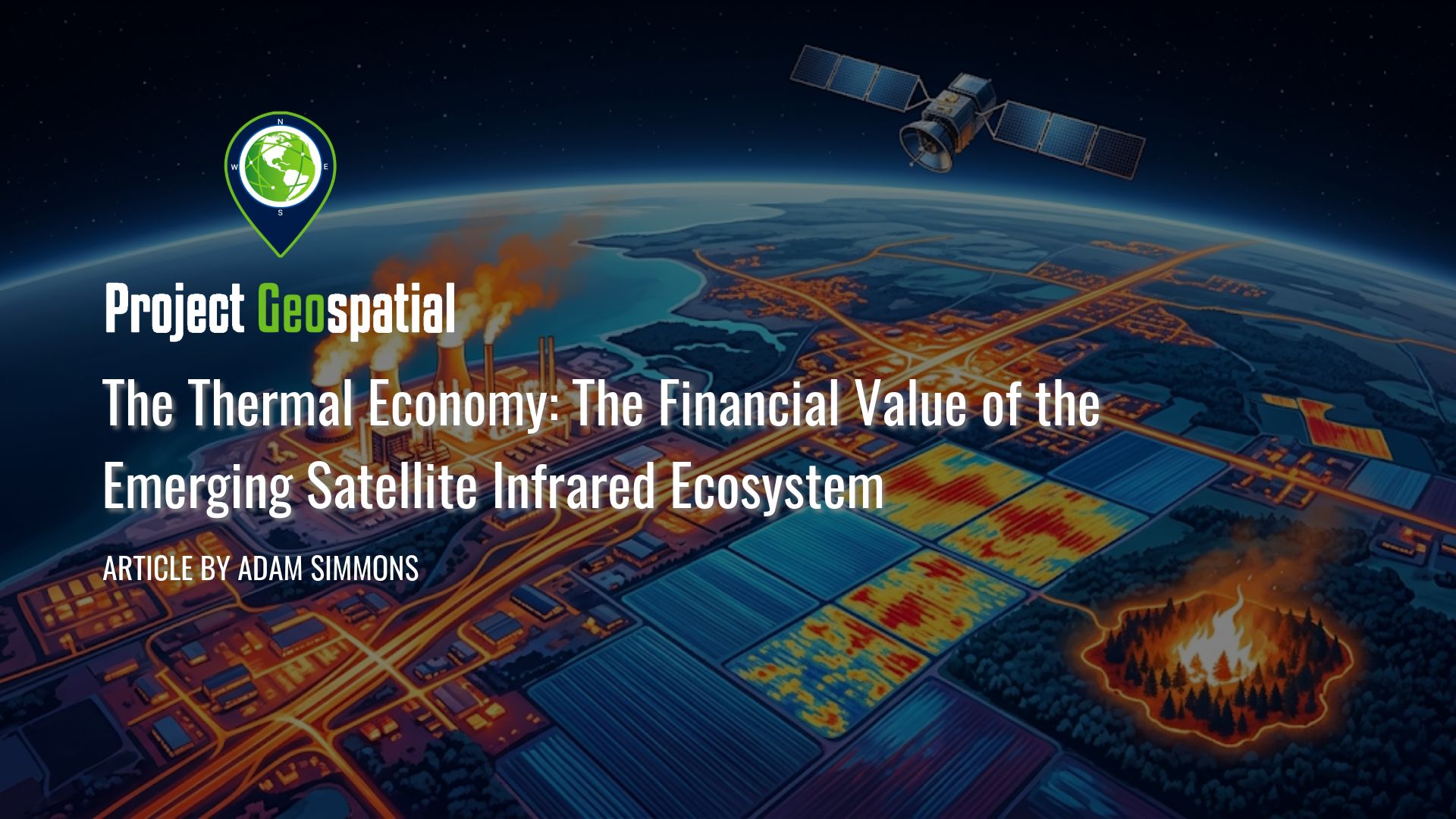
The Thermal Economy: The Financial Value of the Emerging Satellite Infrared Ecosystem
Discover how commercial satellite infrared and thermal energy intelligence are transforming the Earth observation market from commoditized imagery into high-margin operational signals. This comprehensive analysis explores how tracking thermodynamic data provides an unbribable edge for commodity trading, parametric insurance, and national defense. Move beyond superficial visual acuity and unlock the predictive financial power of the global thermal energy economy.
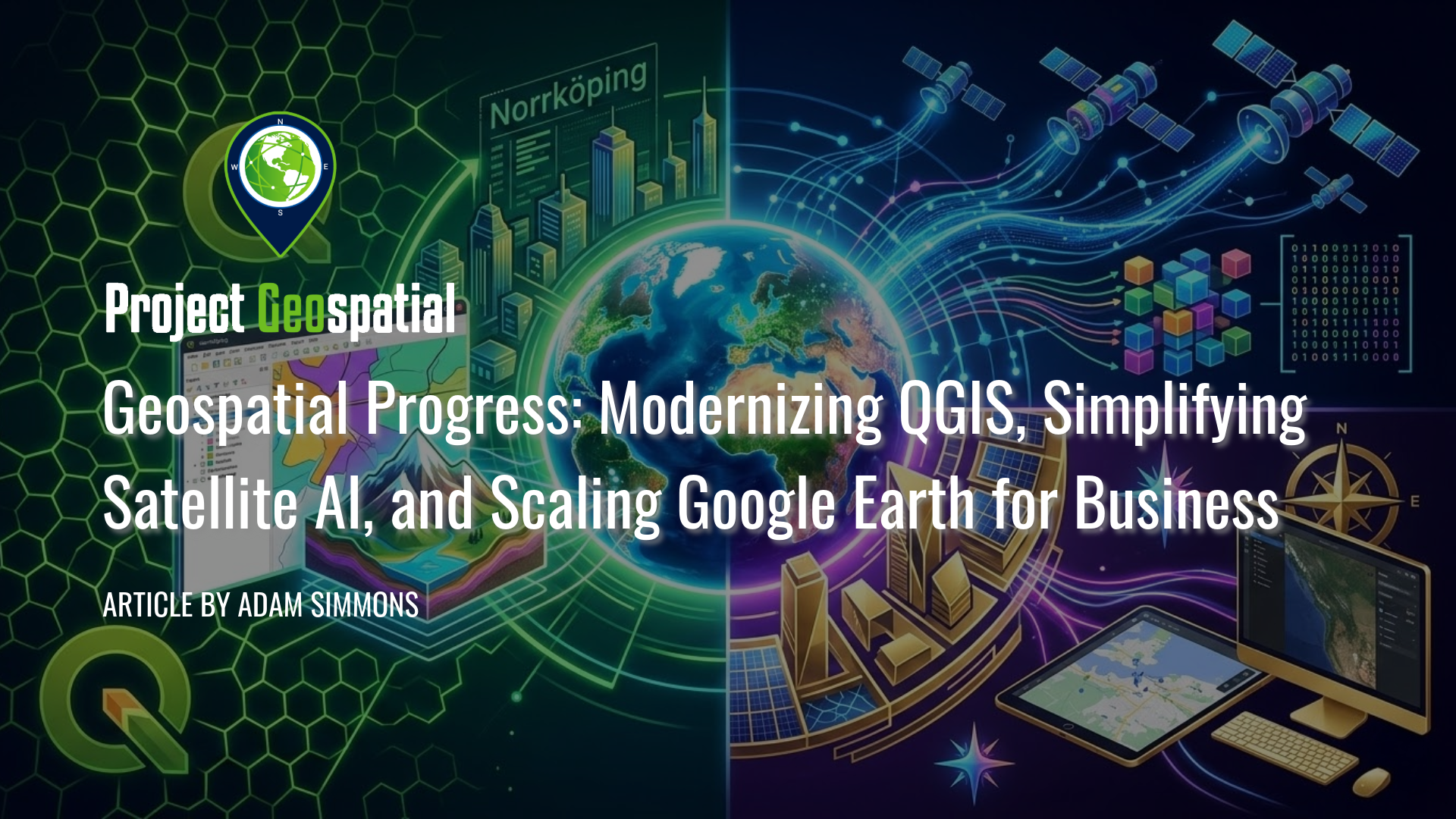
Geospatial Progress: Modernizing QGIS, Simplifying Satellite AI with Alpha Earth, and Scaling Google Earth for Business
The geospatial industry witnessed a transformative week with three major announcements that bridge the gap between open-source legacy and AI-driven enterprise intelligence. Leading the charge is the long-awaited release of QGIS 4.0 "Norrköping," a massive structural leap that migrates the premier open-source desktop GIS to the Qt6 framework for superior performance and security. Simultaneously, Google DeepMind unveiled its 2025 AlphaEarth Foundations update, introducing 64-dimensional satellite embeddings that allow developers to "see through" cloud cover and decode complex planetary variables with unprecedented mathematical precision. Finally, Google Earth officially transitioned into a powerful business ecosystem with the launch of its Professional and Professional Advanced tiers, integrating Gemini-powered "agentic" AI and domain-specific data layers for high-stakes urban planning and sustainability workflows. Together, these releases signal a new era where raw planetary data is no longer a bottleneck but an analysis-ready instrument for global decision-making.
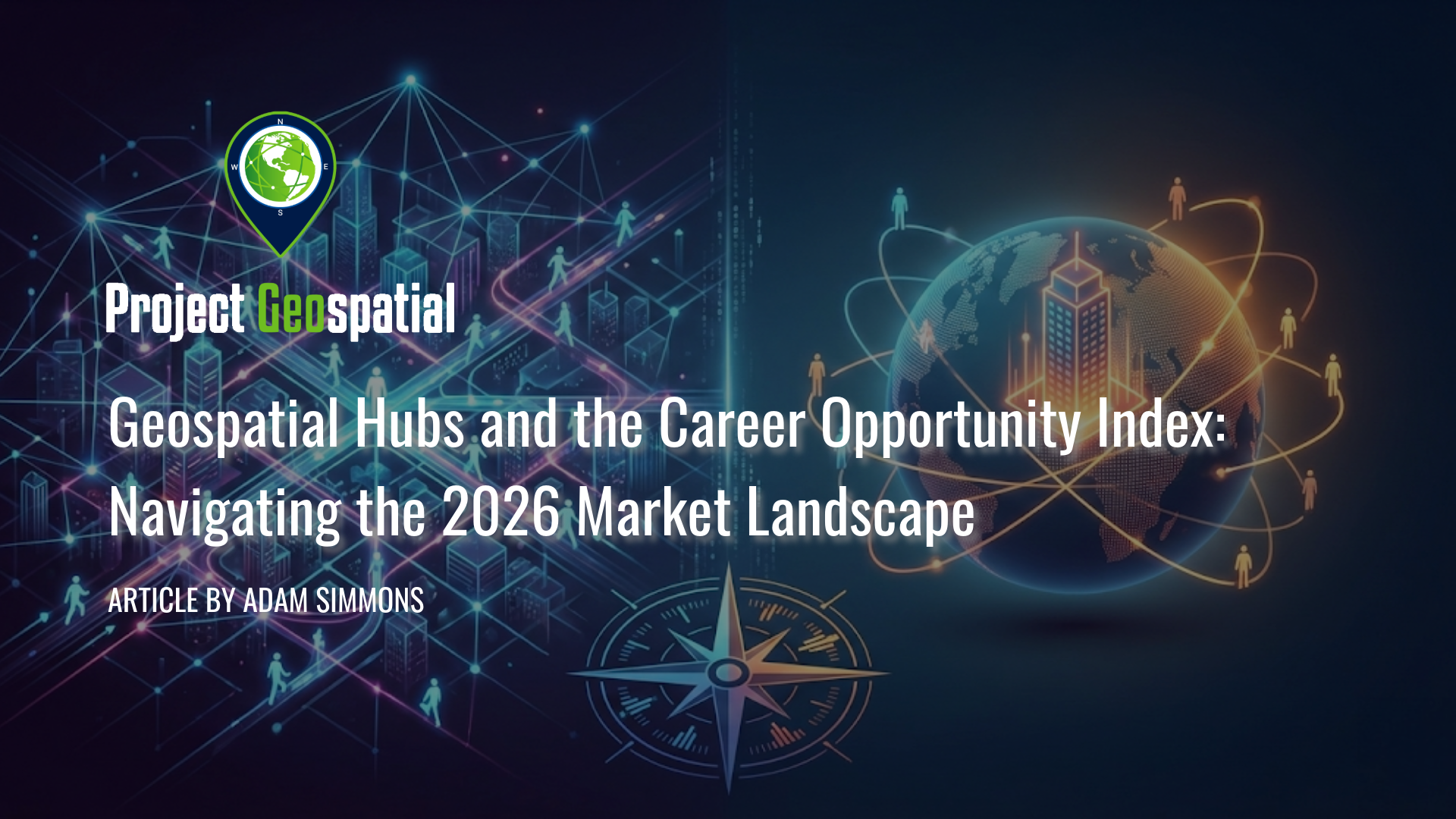
Geospatial Hubs and the Career Opportunity Index: Navigating the 2026 Market Landscape
Discover the 2026 Geospatial Career Opportunity Index, a critical analysis by industry journalist Adam Simmons that redefines how cleared professionals should evaluate job markets. Moving beyond simple salary data, this report ranks the top geospatial hubs—including Washington D.C., St. Louis (NGA West), and Denver (Aerospace Alley)—based on market liquidity and career safety. Learn why the "good job" is a myth, why Colorado is the industry's under-hyped commercial engine, and how to navigate the risks of "Destination Markets" versus "Superhubs" in the evolving 2026 defense and intelligence landscape.
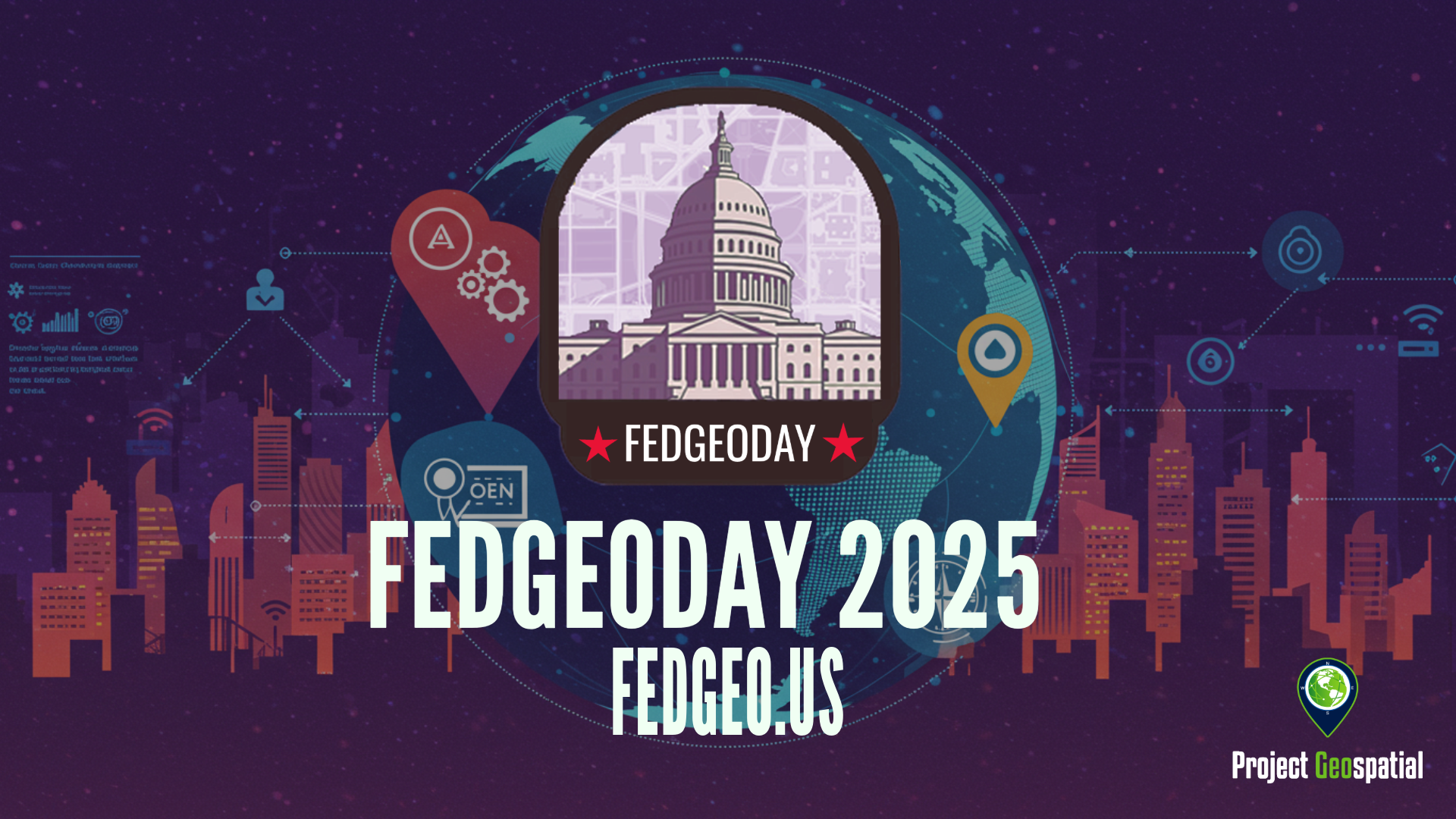
Open Source Geospatial Takes Center Stage for Resilience at FedGeoDay 2025
FedGeoDay 2025, held April 22nd in Washington D.C., was a packed and energized convergence of over 200 geospatial experts dedicated to a vital mission: building resilience through open source tools and data. Project Geospatial's coverage of the event revealed a community deeply committed to collaboration, showcasing everything from NASA's critical Earth observation data applications and foundational government datasets like USGS's 3DAP to the complexities of AI reliability, the dynamics of open data initiatives like OpenStreetMap and Overture Maps, and the necessity of robust cybersecurity. The day underscored the immense potential of open geospatial solutions in facing increasing challenges and the collective effort required to harness their power for societal benefit. The palpable energy and high turnout signaled a community ready to tackle complex problems together, leveraging open platforms for a more resilient future.