


GEOSPATIAL FRONTIERS
A Publication by Project Geospatial
LOOKING BEYOND
THE MAP
Geospatial Frontiers, a new publication from Project Geospatial, brings together leading voices and experts from across the geospatial ecosystem to tackle the industry's most pressing challenges. Through in-depth articles and discussions, Geospatial Frontiers aims to explore innovative solutions and spark critical conversations that will shape the future of geospatial technology and its applications.
Contributing Authors






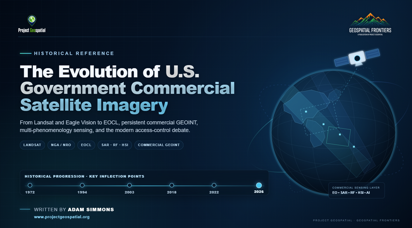
The Evolution of Commercial Satellite Imagery in the U.S. Government
Commercial satellite imagery has evolved from a tightly controlled national-security capability into a foundational layer of the modern U.S. geospatial intelligence architecture. This historical overview traces that transformation from Landsat, EOSAT, Eagle Vision, and the early commercialization experiments through ClearView, NextView, EnhancedView, EOCL, and today’s expanding commercial sensing ecosystem of optical imagery, SAR, hyperspectral, radio frequency, AI, and analytics. It also examines the policymakers, intelligence leaders, scientists, companies, and acquisition strategies that helped build the government-commercial partnership—and the emerging 2026 debate over access, managed distribution, national security, and how the United States governs an increasingly global and commercially driven GEOINT environment.
SAR in the AI Era: Why All-Weather Satellite Intelligence Is Becoming Financial Infrastructure
Discover how Artificial Intelligence is revolutionizing Synthetic Aperture Radar (SAR) technology, transforming all-weather satellite data into the next critical layer of global financial infrastructure. As the global SAR market scales toward $10.44 billion by 2034, advanced deep learning pipelines are dismantling historical barriers to commercialization—automating real-time hazard detection, parametric insurance underwriting, and maritime domain monitoring. Explore the shifting competitive landscape, from legacy aerospace giants like Airbus and MDA Space to agile NewSpace disrupters like ICEYE, Capella Space, iQPS, and Umbra’s unique royalty-free licensing model. Learn how proprietary AI analytics are shifting the Earth observation economy from raw pixel sales to high-margin, scalable data subscriptions.
The Thermal Economy: The Financial Value of the Emerging Satellite Infrared Ecosystem
Discover how commercial satellite infrared and thermal energy intelligence are transforming the Earth observation market from commoditized imagery into high-margin operational signals. This comprehensive analysis explores how tracking thermodynamic data provides an unbribable edge for commodity trading, parametric insurance, and national defense. Move beyond superficial visual acuity and unlock the predictive financial power of the global thermal energy economy.