
GEOINT 2025 Content is NOW Available!
GEOINT 2025 Content is NOW Available!
“SURFING THE WAVES OF THE GEOSPATIAL FRONTIER”
Adam Simmons, Executive Director of Project Geospatial
Project Geospatial is a non-profit 501(c)3 media organization committed to growth, innovation and collaboration among academic, commercial, and government partners in the geospatial industry. We provide a leading voice in geospatial industry trends, insights and cross-industry applications to help inspire the next generation of professionals.
Announcing Geospatial Frontiers:
A New Publication from Project Geospatial
The geospatial world is evolving rapidly, and with that evolution come complex challenges and crucial questions. Project Geospatial is proud to introduce Geospatial Frontiers, a new publication designed to explore these "hard truths" and drive meaningful progress.
Geospatial Frontiers will feature articles from industry experts, delving into topics such as data accessibility and licensing, emerging use cases for geospatial technology, workforce challenges, end the unspoken walls within our ecosystem
We're committed to fostering in-depth discussions and uncovering innovative solutions. Watch this space for updates and the upcoming launch of Geospatial Frontiers!
Welcome to the ultimate geospatial events directory, your curated guide to premier GIS conferences, Earth observation summits, remote sensing expos, and spatial analytics forums worldwide. Whether you are seeking defense and intelligence gatherings like GEOINT, enterprise GIS summits like Esri FedGIS, or commercial satellite technology expos, our continuously updated catalog tracks verified event dates, locations, registration pricing, and specialized focus tracks. Designed specifically for GIS analysts, spatial data scientists, cartographers, and geospatial leaders, this directory offers actionable pro-tips, target audience breakdowns, and networking ROI insights to help you plan your annual conference strategy with confidence.
NASA and the USGS are preparing for a historic shift: transitioning the Landsat program to rely on commercial Earth observation data by 2035. But as the Sustainable Land Imaging (SLI) Commercial Transition Initiative moves forward, it revives a decades-old question: what happens when a foundational public science mission is forced to operate under commercial economics? Explore the complex history of Landsat commercialization, the downstream economic value of free and open-access imagery, and the geopolitical risks of relying on the "New Space" market to sustain a 50-year scientific record.
In this recap of the "Next Generation GEOINT: Forging Leaders" event, retired Rear Admiral Mike Studeman and retired Vice Admiral Bob Sharp share decades of naval intelligence and defense expertise. Explore their actionable insights on building the unbreakable currency of trust, cultivating daily habits for success, and empowering every voice to solve complex intelligence challenges. Read the full dispatch to learn how to authentically grow your career and influence within the GEOINT community.
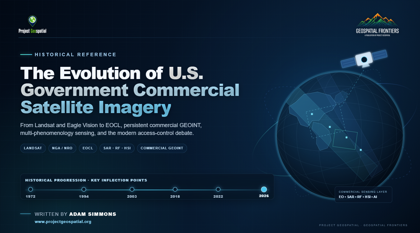
Commercial satellite imagery has evolved from a tightly controlled national-security capability into a foundational layer of the modern U.S. geospatial intelligence architecture. This historical overview traces that transformation from Landsat, EOSAT, Eagle Vision, and the early commercialization experiments through ClearView, NextView, EnhancedView, EOCL, and today’s expanding commercial sensing ecosystem of optical imagery, SAR, hyperspectral, radio frequency, AI, and analytics. It also examines the policymakers, intelligence leaders, scientists, companies, and acquisition strategies that helped build the government-commercial partnership—and the emerging 2026 debate over access, managed distribution, national security, and how the United States governs an increasingly global and commercially driven GEOINT environment.
California’s geospatial ecosystem is less a single regional hub than a federation of specialized economies spanning enterprise GIS, Earth observation, spatial AI, aerospace, national-security space, environmental monitoring, public-sector operations, and research. From Redlands and Silicon Valley to El Segundo, Santa Barbara, Sacramento, Pasadena, San Diego, and the Central Valley, this 2026 analysis maps the institutions, companies, technologies, and structural friction shaping one of the most complete geospatial economies in the world.
St. Louis is betting that access to advanced AI compute can help turn its growing geospatial and technology ecosystem into a more competitive engine for commercial innovation. The new Spirit of St. Louis AI Innovation Center brings together GeoSTL, regional institutions, nonprofits, and major technology companies to provide startups and researchers with infrastructure they could rarely afford on their own. But the “AI for Good” pitch also raises important questions about governance, corporate influence, civic access, national security applications, and whether subsidized compute will ultimately translate into new companies, private investment, and permanent high-paying jobs for the region. This analysis examines the trade-offs behind the Center and the metrics that will determine whether it becomes meaningful economic infrastructure or simply another ambitious regional initiative.
The 2026 National Security Science and Technology Strategy (NSSTS) is fundamentally reshaping the commercial and defense geospatial industries. As the U.S. government prioritizes techno-strategic competition and battlefield dominance, geospatial firms are positioned to benefit from massive new funding mandates and agile procurement vehicles like the National Geospatial-Intelligence Agency's Luno contracts. However, these unprecedented economic tailwinds are accompanied by a complex regulatory minefield. From the rising demand for AI-driven analytics and unclassified proliferated low-Earth orbit (pLEO) satellite architectures to the severe data decoupling mandates of the Department of Justice's Data Security Program, discover how the new NSSTS forces the geospatial sector to adapt to an aggressive new era of national security.
The unique dynamics of the New York geospatial ecosystem are a decentralized commercial powerhouse driving the global location intelligence market. Unlike traditional defense-centric regional hubs, New York operates as a bifurcated empire: a downstate software engine powering algorithmic hedge funds, proptech valuations, and urban digital twins, paired with an upstate hardware frontier specializing in remote sensing, satellite analytics, and uncrewed aerial systems. Discover how this highly competitive environment leverages massive venture capital and enterprise SaaS demand to modernize megacity utility grids and completely redefine the commercial application of spatial data.

The GOTS Dilemma: Is the DoW Finally Ready for a Commercial-First Reality? Read Keith Barber's unfiltered white paper on the systemic failures of government software acquisition (GOTS) and the urgent need for the Department of War (DoW) to embrace a commercial-first (COTS) strategy. Barber argues that duplicating commercial tech is a strategic risk, hindering lethality and speed in the geospatial intelligence ecosystem. Dive into the full analysis and our exclusive "So What" breakdown to understand how Secretary Hegseth's new directives could reshape the future of GEOINT and defense contracting below.
The 2027 Intelligence Authorization Act (H.R. 9624) aims to mandate strict blackouts on U.S. commercial satellite imagery in the name of national security. However, in an era of global orbital abundance, this proposed government censorship threatens to cripple open-source intelligence (OSINT), betray the democratic spirit of the First Amendment, and cede America's Earth observation dominance to foreign competitors. Discover why weaponizing federal contracts to force "orbital blindness" is a profound strategic and moral miscalculation.
As artificial intelligence and end-to-end automation fundamentally reshape the national security apparatus, the traditional "human-in-the-loop" intelligence cycle is rapidly becoming obsolete. This article explores the profound paradigm shift in modern geospatial intelligence (GEOINT), detailing how algorithmic machine learning models are replacing foundational analysis workflows and forcing human tradecraft to evolve from basic object detection to high-stakes algorithmic auditing. Discover the hard operational truths behind the data deluge, impending workforce displacement, and the critical future of human-machine symbiosis at mission speed.
LATEST EVENTS COVERED
Catch up on the latest innovations from GEOINT 2026, the nation’s largest gathering of geospatial intelligence professionals hosted by USGIF. Explore Project Geospatial’s exclusive on-the-ground coverage and watch our comprehensive floor interviews with the industry leaders, defense experts, and tech innovators shaping the future of national security and mapping tech.

FedGeoDay 2026 returned to the U.S. Census Bureau Headquarters in Suitland, MD, on April 22nd and 23rd, centering on the critical theme of "Building Ecosystems for Supporting Federal Data Stewardship." This premier event unites federal program managers, technology leaders, and industry innovators to explore the future of Open Geospatial Ecosystems, including open-source software, collaborative mapping, and AI-driven GeoAI applications. As an essential hub for the geospatial community, FedGeoDay 2026 features high-impact keynotes from leaders like Denice Ross (Federation of American Scientists) and technical sessions covering cloud-hosted SDI, FOSS4G use cases, and hazard exposure analytics. Project Geospatial is proud to provide special coverage of this pivotal event, bridging the gap between federal data policy and the cutting-edge technology ecosystems that drive national resilience and government transparency. Visit FedGeo.US for the full agenda and join the conversation on the latest trends in GIS, remote sensing, and interoperable spatial data infrastructure.
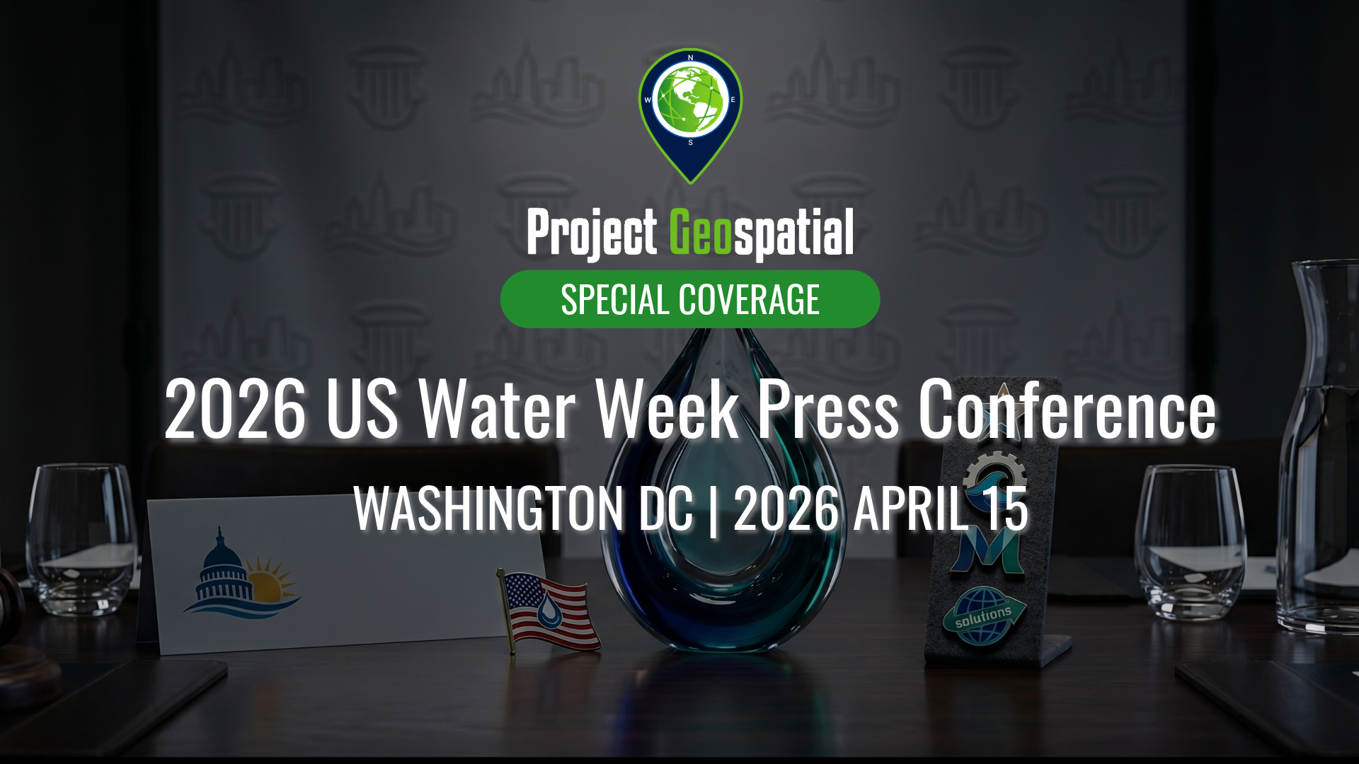
On April 15, 2026, the National Press Club hosted a powerhouse lineup of federal representatives, utility CEOs, and industry experts to address the critical "tipping point" of U.S. water management. Our coverage explores the full program: from federal legislative shifts in the Southwest and Central Valley to the frontline challenges of aging infrastructure and affordability. We look at how utility leaders are driving resilience and where strategic investments—including advancements in geospatial insights and digitalization—are unlocking long-term value for communities and the environment.

Discover the power of open-source technologies with Project Geospatial’s complete coverage of FedGeoDay 2025. As the premier event dedicated to open geospatial ecosystems within the U.S. federal government, FedGeoDay brings together government, industry, and academic leaders. Watch our exclusive on-the-ground interviews, keynote highlights, and panel discussions to learn how open data and collaborative mapping are driving resilience and innovation across federal agencies.


The DMV GIS Day 2025: Midpoint Meetup, held virtually on April 30, 2025, brought together GIS professionals, government officials, educators, students, and technology enthusiasts to celebrate geospatial innovation in the Washington, D.C., Maryland, and Virginia region.
The event showcased the history, latest innovations, applications, and trends in GIS within the DMV area, featuring leaders from government, academia, and industry. Attendees learned about cutting-edge GIS technology used in public safety, urban planning, and environmental sustainability and had opportunities to network with fellow professionals. Sessions covered topics such as OpenStreetMap and Government, Simplifying Data Integration Using Postgres, Enterprise Address Management, Disaster Forecast Modeling, and building a Bike Comfort Map.

Take a deep dive into the vital intersection of open-source software and disaster preparedness with Project Geospatial’s complete coverage of FedGeoDay 2025. Held across the Department of the Interior's Yates Auditorium and the American Red Cross building in Washington, D.C., this milestone event centered on "Open Resilience." Watch our extensive interview archive to see how federal program managers and industry leaders are leveraging open geospatial environments to predict, prepare for, and respond to global crises.

Step onto the floor of FOSS4G North America 2024 with Project Geospatial. From the heart of St. Louis's booming tech district, our media team captured the pulse of the free and open-source geospatial community. Explore our comprehensive video hub to hear directly from the developers, technologists, and innovators who are democratizing data and building the next generation of mapping software.
Project Geospatial covers these events as an opensource press and media organization. We are not responsible for the events themselves.
LATEST CONTENT
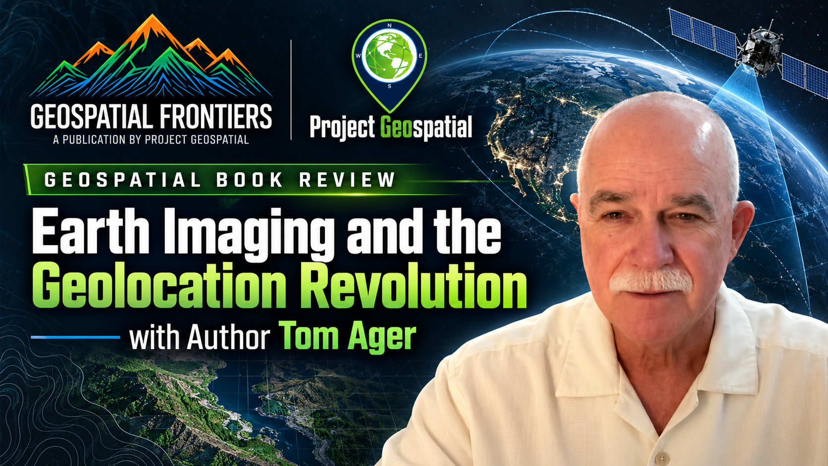
Veteran geodesist and author Thomas P. Ager joins hosts Adam Simmons and Daryl Murdock on Project Geospatial to demystify the complex science of geolocation and Synthetic Aperture Radar (SAR). Ager unpacks concepts from his latest book, Earth Imaging and the Geolocation Revolution, challenging the GEOINT community to stop treating satellite imagery as a "flat sheet of rubber". The episode tackles the hidden potential of SAR phase data, the mechanics of Rational Polynomial Coefficients (RPC) for rapid positioning, and the urgent need to overcome technical illiteracy with smarter, more accessible open-source tools. Tune in to discover how bridging the gap between advanced orbital data and user-friendly applications is actively transforming the future of spatial intelligence.
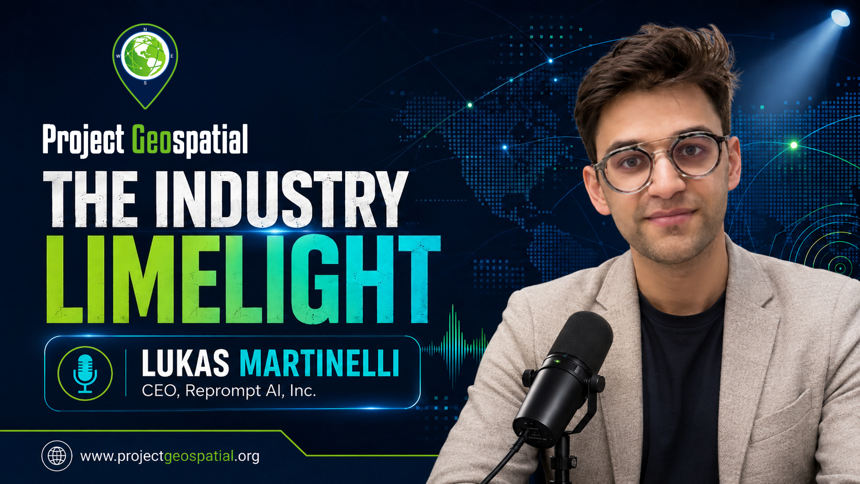
In this episode of Project Geospatial, host Adam Simmons sits down with Lucas Martinelli, co-founder of Reprompt AI, to talk about the power of generative AI in reshaping geospatial analysis. Lucas shares his journey from open-source mapping projects in Switzerland to reverse-engineering proprietary map APIs and eventually founding Reprompt AI.
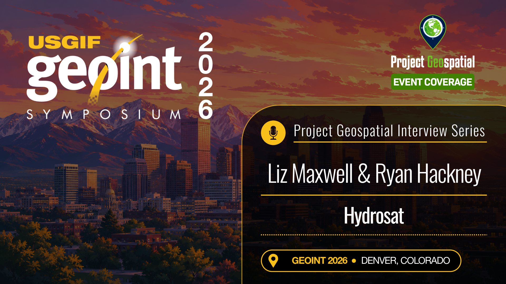
As tactical missions and commercial supply chains deal with escalating environmental volatility, the need for space-based temperature tracking has shifted from a scientific luxury to a national security necessity. At the GEOINT 2026 Symposium in Denver, Project Geospatial met with Liz Maxwell and Ryan Hackney of Hydrosat to discuss how their specialized satellite constellation is changing earth observation.
In this blog post, we look at the immense value of land surface temperature data. Liz and Ryan detail how Hydrosat’s expanding thermal infrared network bypasses traditional spatial limitations, offering the high-frequency revisit rates necessary to monitor real-time infrastructure changes, map micro-level soil moisture, and track fast-moving wildfires. Dive into the full conversation to explore how their proprietary software stack converts raw thermal metrics into clean, cloud-native layers that empower intelligence analysts and agricultural stakeholders to make rapid, high-consequence decisions.
In the rush to adopt predictive analytics and real-time operational views, many organizations bypass the most critical step: ensuring the integrity of their baseline location intelligence. At the GEOINT 2026 Symposium in Denver, Project Geospatial sat down with Anand Subramani of Avineon to dissect why clean, modern data engineering is the real secret behind successful software deployments.
In this blog post, we look at Avineon's systematic approach to enterprise GIS modernization. Anand details the specialized workflows needed to automate data validation, purge inaccuracies from legacy maps, and seamlessly bridge the gap between architectural CAD files and downstream GIS environments. Explore the full conversation to see how stabilizing your foundational geospatial data ensures long-term scalability for utility grids, defense networks, and municipal digital twins.
For modern military and intelligence agencies, true digital transformation isn't just about adding new software features—it's about building a foundational infrastructure capable of processing planetary-scale data while resisting systemic threats. At the GEOINT 2026 Symposium in Denver, Project Geospatial caught up with Dr. Jessica Kalmanson of Peraton to dissect the future of high-consequence systems engineering.
In this blog post, we analyze how Peraton is tackling the extreme technical challenges of moving massive, multi-tiered intelligence archives into the secure enterprise cloud. Jessica outlines the systems architecture necessary to maintain robust satellite data networks, achieve clean data interoperability across historically siloed agencies, and bake security directly into the pipeline from day one. Dive into the conversation to discover how advanced R&D and resilient infrastructure engineering are reshaping edge deployment for the modern warfighter.
Whether managing commercial distribution fleets or complex government logistics, mission success hinges on routing data that matches reality in real time. At the GEOINT 2026 Symposium in Denver, Project Geospatial caught up with Cliff Allison of TomTom to explore how the mapping pioneer is redefining location intelligence.
In this blog post, we dive into how TomTom ingests and processes billions of daily data points to deliver ultra-low-latency traffic analytics. Cliff details how the company utilizes advanced machine learning pipelines to autonomously detect real-world infrastructure changes, instantly updating digital basemaps without manual intervention. Explore the conversation to learn how open-source data partnerships, smart mobility frameworks, and high-fidelity routing APIs are breaking down legacy mapping silos for defense and enterprise operators alike.
The path for commercial software entering the defense ecosystem is notoriously difficult, requiring a delicate balance of cutting-edge innovation and deep policy understanding. At the GEOINT 2026 Symposium in Denver, Project Geospatial caught up with Shelby Pierson of Invicta Analytics, LLC to talk about the evolution of modern threat monitoring.
In this blog post, we examine how Invicta Analytics is bridging the gap between Silicon Valley agility and traditional intelligence community architectures. Drawing from her extensive background in national security leadership, Shelby details how to move beyond simple geospatial data collection to engineer high-confidence analytic workflows. Explore the piece to discover how matching product roadmaps to tactical requirements ensures that small businesses can effectively weather acquisition hurdles and provide real-time decision superiority to the edge operator.
Proprietary software environments are no longer the default answer for modern mission management. As federal entities aggressively look to build agile, cloud-native frameworks, open-source geospatial technologies are taking center stage. At the GEOINT 2026 Symposium in Denver, Project Geospatial caught up with Ryan Burley and Simone Giannecchini of GeoSolutions to discuss the massive shift towards unclassified and open IT architectures.
In this blog post, we look at the engineering discipline required to back open-source web-mapping frameworks with true enterprise-grade reliability. Simone and Ryan break down how GeoSolutions maintains core upstream code repositories for world-class platforms like GeoServer, GeoNode, and MapStore. Explore how their customized deployment architectures allow defense networks to bypass restrictive vendor lock-in, streamline OGC-compliant data sharing across international coalitions, and easily scale high-frequency cloud pipelines without skyrocketing licensing fees.
EXPLORE MORE TOPICS

Join us as we “Uncover the Metaverse” to understand what it is and how it is being used from experts at Maxar who have been working to take the geospatial industry into a new immersive ecosystem. Talking with us is Josh Winer, Senior Director of Global Sales and Sydney Cortez, Project Manager on Strategic Partners.


In this segment we have the pleasure of speaking with Pete Morrison for a deep dive into the topic of the Metaverse getting his insights of what it is and how he defines it for the defense industry. Pete Morrison is co-founder and chief product officer at BISim. He is an evangelist for the use of game technologies and other COTS-type products and software in the simulation and training industry. Pete studied computer science and management at the Australian Defence Force Academy and graduated with first-class honors. He also graduated from the Royal Military College, Duntroon, into the Royal Australian Signals Corp. He served as a Signals Corp Officer for several years. His final posting was as a Project Officer in the Australian Defence Simulation Office (ADSO).


In this episode, we're excited to welcome Dr. Andrew Youkilis, a renowned neurosurgeon based in St Louis, Missouri. Dr. Youkilis has been at the forefront of medical innovation using stereotaxy to map the brain and perform complex surgeries with unparalleled precision.

Adobe is the global leader in digital media and digital marketing solutions. Their creative, marketing and document solutions empower everyone – from emerging artists to governments and global brands – to bring digital creations to life and deliver immersive, compelling experiences to the right person at the right moment for the best results. In short, Adobe is everywhere, and we’re changing the world through digital experiences.
Adobe’s Industry Specialist, Jon Lewington, sat down with us to discuss the 3D modeling tools they recently announced and their new focus on the metaverse. He discusses what the metaverse means for the GEOINT community and how the merging of the physical and virtual worlds can make drastic shifts in the industry. Jon addresses the needs and problems of their customers that they are trying to serve with this new focus as well.
METAVERSE
GOVERNMENT









Civil Air Patrol operates a fleet of 555 single-engine aircraft and 2,250 small Unmanned Aircraft Systems (sUAS) and performs about 90% of all search and rescue operations within the contiguous United States as tasked by the Air Force Rescue Coordination Center. Often using innovative cellphone forensics and radar analysis software, CAP was credited by the AFRCC with saving 108 lives last year. CAP’s 56,000 members also perform homeland security, disaster relief and drug interdiction missions at the request of federal, state and local agencies. As a nonprofit organization, CAP plays a leading role in aerospace education using national academic standards-based STEM (science, technology, engineering and math) education resources.
Scott Kaplan sat down with us to discuss what CAP’s role is in the geospatial industry dating back to World War 2. He then went on to explain the coordination between NGA and CAP in regards to search and rescue operations. Along with talking about recent news for the organization and his favorite new technology that he saw at the symposium.

Anyone who sails a ship, flies an aircraft, goes into harm’s way, makes national policy decisions, responds to disasters, or navigates with a cellphone, all rely on the National Geospatial-Intelligence Agency. NGA delivers world-class geospatial intelligence, or GEOINT, that provides a decisive advantage to warfighters, policymakers, intelligence professionals and first responders. Both an intelligence agency and a combat support agency, NGA fulfills the president’s national security priorities in partnership with the intelligence community and Department of Defense.
Kathy Wever, Director of the Talent Development Office with the NGA, explains the skill sets and interests the agency is looking for in recent college graduates. She also elaborated on some academia partnerships that are making strides in diversifying the GEOINT community and getting more people interested in the field. And she even shared a personal story about working with youth to inspire the next generation of GEOINT professionals.

The interagency Civil Applications Committee (CAC) facilitates the appropriate civil uses of overhead remote sensing technologies and data collected by military and intelligence capabilities, including from commercial sources. The CAC is operated and staffed by the U.S. Geological Survey on behalf of the U.S. Department of the Interior and its interagency partners. The director of the U.S. Geological Survey is the chair of the committee, and the vice-chair is a non-Department of the Interior senior official. The CAC ensures certain Federal civil agencies have access to these remotely sensed assets to meet their statutory missions in ways that do not threaten the civil rights, civil liberties, and personal privacy of U.S. citizens. To meets its mandate, the CAC hosts various working groups and communities of interest including those focused on thermal issues (wildland fires and volcanoes), environmental security, and historical satellite imagery.
Dan Opstal and Scott Kaplan, with the Civil Applications Committee, discuss the importance of CAC and why having an organization such as this is so important to the community as a whole. They also describe how they are educating individuals and their partners about how CAC can help in their particular missions. Dan also explains some of the challenges in the industry they are trying to mitigate in the industry such as accessibility to data. Scott also went on to elaborate on the need for improved communication between disciplines and how CAC is trying to help with that.

Anyone who sails a ship, flies an aircraft, goes into harm’s way, makes national policy decisions, responds to disasters, or navigates with a cellphone, all rely on the National Geospatial-Intelligence Agency. NGA delivers world-class geospatial intelligence, or GEOINT, that provides a decisive advantage to warfighters, policymakers, intelligence professionals and first responders. Both an intelligence agency and a combat support agency, NGA fulfills the president’s national security priorities in partnership with the intelligence community and Department of Defense.
Rob Shields, the Director of Analytic Technologies at the NGA, talks about the technology they develop to support the analysts. As part of the office that provides the needs and prioritizes the solutions they need from providers, he discusses the types of tools that analysts prefer. He also describes the change he’s seen in the culture with the recent emphasis placed on the collaboration and innovation at the Moonshot Labs.

Anyone who sails a ship, flies an aircraft, goes into harm’s way, makes national policy decisions, responds to disasters, or navigates with a cellphone, all rely on the National Geospatial-Intelligence Agency. NGA delivers world-class geospatial intelligence, or GEOINT, that provides a decisive advantage to warfighters, policymakers, intelligence professionals and first responders. Both an intelligence agency and a combat support agency, NGA fulfills the president’s national security priorities in partnership with the intelligence community and Department of Defense.
Tim Clayton, Director of Acquisition Oversight at the NGA, and Rick Myllenbeck, Industry Engagement Advisor at the NGA, discuss industry engagement and the procurement workflow at the agency. They touch on the best way for industry to work with government and the major mistakes the companies often make when working with government. Diving deeper, they explain the best way for small business to engage with the NGA and their relationship of with the Small Business Office.

Anyone who sails a ship, flies an aircraft, goes into harm’s way, makes national policy decisions, responds to disasters, or navigates with a cellphone, all rely on the National Geospatial-Intelligence Agency. NGA delivers world-class geospatial intelligence, or GEOINT, that provides a decisive advantage to warfighters, policymakers, intelligence professionals and first responders. Both an intelligence agency and a combat support agency, NGA fulfills the president’s national security priorities in partnership with the intelligence community and Department of Defense.
Gary Dunow, the Associate Director of Enterprise at the NGA, discusses the agency’s priorities and what he would like to see be the focus for the coming five years. The three main targets he explains are an interoperable GEOINT environment, sensor to effect capabilities, and GEOINT superiority from space. And he went on to elaborate on how he plans to coordinate with NGA’s industry partners to achieve their goals.
CLOUD

GitLab is a complete DevOps platform, delivered as a single application, fundamentally changing the way Development, Security, and Ops teams collaborate and build software. From idea to production, GitLab helps teams improve cycle time from weeks to minutes, reduce development costs and time to market while increasing developer productivity.
Marc Kriz, a Strategic Account Leader with GitLab, discusses the work his National Security Programs group does with government organizations. Their single end-to-end DevSecOps platform is key to developing software both quickly and securely. With remote work becoming more and more common, even in the intelligence community, GitLab is building tools to mitigate many of the challenges that come with that shift.


IMAGERY


Join us as we interview Payam Banazadeh, founder and CEO of Capella Space. Payam gives us a great overview of Capella and introduces us to their new Acadia generation of SAR satellites which brings increased resolution, capability, and efficiency for delivery to their customers. Tune in for the details.

To stay ahead of climate change, geopolitical risk, and other major crises and issues, we need a global understanding of what is changing, where, and how fast. Umbra is built around the idea that by providing easy access to the highest quality commercial satellite data available, they can become an indispensable tool for the growing number of organizations monitoring the Earth. They empower their customers with the ability to create the solutions that inform, inspire, and address our planet’s most pressing needs. They’re helping to create a brand new industry that has never meaningfully existed before.
Umbra Space’s Vice President of Commercial Products, Joe Morrison, discusses their unique business model and propositions to customers. Their Creative Comments Licensing is a source of curiosity and he explains how it works for their customers and why is makes more sense than legacy licensing. He also shares his perspective of the overall satellite imagery industry and the shifts he hopes to see.

Pixxel is a space technology company working towards creating the world's highest resolution hyperspectral imaging satellite-imaging constellation. The images gathered by Pixxel's satellites will provide up-to-date information relevant to climate monitoring, crop yield prediction, urban planning, and disaster response.
Pixxel’s Aakash Parekh discusses the importance of hyperspectral data in the industry to unlock crucial information across the spectrum. Their 5 meter hyperspectral constellation aims to gain global coverage with a daily revisit. He explains their business model and how customers are able to gain access to their data. Aakash continued on to describe the critical use cases that hyperspectral data excels at compared to other sources.

With plans to launch its first series of LEO constellations in 2023, HySpecIQ is positioned to become the world’s leading provider of airborne quality hyperspectral imagery and analytics from space. Their vision is to empower the most prominent intelligence, defense, and industry decision makers with insights and analytics to make safer, smarter, stronger, and more sustainable decisions.
Dr. Katie Salvaggio, with HySpecIq, explains the value of hyperspectral imagery as compared to other spectral imagery. She explains what drew her to work with hyperspectral imagery in particular and the unique proposition their data will provide to their customers.
The interagency Civil Applications Committee (CAC) facilitates the appropriate civil uses of overhead remote sensing technologies and data collected by military and intelligence capabilities, including from commercial sources. The CAC is operated and staffed by the U.S. Geological Survey on behalf of the U.S. Department of the Interior and its interagency partners. The director of the U.S. Geological Survey is the chair of the committee, and the vice-chair is a non-Department of the Interior senior official. The CAC ensures certain Federal civil agencies have access to these remotely sensed assets to meet their statutory missions in ways that do not threaten the civil rights, civil liberties, and personal privacy of U.S. citizens. To meets its mandate, the CAC hosts various working groups and communities of interest including those focused on thermal issues (wildland fires and volcanoes), environmental security, and historical satellite imagery.
Dan Opstal and Scott Kaplan, with the Civil Applications Committee, discuss the importance of CAC and why having an organization such as this is so important to the community as a whole. They also describe how they are educating individuals and their partners about how CAC can help in their particular missions. Dan also explains some of the challenges in the industry they are trying to mitigate in the industry such as accessibility to data. Scott also went on to elaborate on the need for improved communication between disciplines and how CAC is trying to help with that.

Satellogic is a leading provider of high resolution satellite imagery. They drive real outcomes for our customers with daily, actionable, planetary-scale insights you can trust. Their low-Earth-orbit satellite constellation and product platform deliver geospatial data at the right cost, making Earth Observation data accessible and affordable to enable better global decision-making. With more than 200 satellite engineers, operators and product specialists, they are on a mission to deliver a fundamentally better picture of our planet and the many forces that reshape it every day. They bring space down to earth for large enterprises and governments of all sizes who need to see for themselves how our world is changing.
Ryan McKinney, Vice President and General Manager for Satellogic North America, and Thomas VanMatre, Vice President of Global Business Development, discuss what products and services they provide including their multispectral and hyperspectral data. They also discuss how their business model works towards their goal of democratizing access to imagery.

Hydrosat provides daily, high-resolution thermal and multispectral infrared imagery of the entire Earth. Thermal allows you to visualize heat and reveal unseen truths that visual imagery can’t detect. Leveraging their first-in-history thermal capabilities, they also provide analytics solutions to solve climate and agriculture issues.
Hydrosat’s Co-Founder and CEO, Peter Fossel, sat down with Adam with talk about their upcoming launch of their first satellite. He went on to discuss why they chose to focus specifically on infrared as opposed to other parts of the spectrum, such as visible or SAR. Their sub field level resolution helps them get a clearer snapshot than even Landsat which sits at about 120 meters per pixel. And their always-on monitoring eliminates the need for tasking and allows users to access data from any time slot.


ANALYSIS

Google’s services helps governments and companies build a more prosperous and sustainable future for their organization with a comprehensive platform for geospatial workloads and applications that only Google can deliver.
Jeff Spugnardi and Brady Allred, with Google, walk us through and discuss their Google Earth Engine analytic tool. They explained the expansion of the tool from humanitarian use cases to now enterprise use cases as well. With over 50 petabytes worth of imagery, Earth Engine tries to reduce the time collecting data and allow analysts to spend more time finding the answers they’re looking for.

Founded in 2016, Edgybees provides accurate geo-registration and augmented reality of aerial video in real time, enabling defense, public safety and critical infrastructure command centers to accomplish life-saving missions. To date, the referencing and positioning of streamed video from aerial sources has been inaccurate, often with dangerous consequences. Edgybees’ Visual Intelligence Platform, a software-only solution based on Computer Vision and Machine Learning technologies, delivers highly accurate geo-mapping and tagging of aerial video in real time. This unique approach allows for rapid decision-making by visually augmenting roads, key landmarks and other mission-critical data on top of live video feeds – via its own platform or by integrating with third-party systems. Edgybees’ operational perspective dramatically reduces time-to-target and enhances team collaboration, situational awareness and mission effectiveness.
Craig Brower, the President of Edgybees Inc, discusses the importance of georegistration and demonstrates their software tool that makes video accurate within one meter, in real time. He also describes the other services the users are able to access including overlays for full context. He also is able to demonstrate their satellite imagery correction software that makes georegistration possible within seconds.

At the core of Cesium’s mission is to advance 3D geospatial through openness, community, and collaborations. Cesium is an open platform for creating 3D applications that are fast, flexible, and based on real-world geospatial data.
Brady Moore, Director of Mission Support with Cesium, describes their applications for geospatial visualization. He demonstrates their 3D Tiles Next software and how it helps expose metadata at runtime. Brady also discusses the specific use cases that this software can enhance. Their other demonstration of CesiumJS shows the software’s ability to create virtual 3D models from open source data.

As a leading location intelligence platform provider (Forrester Wave 2020), Esri empowers leaders with innovative tools to help create sustainable prosperity. Esri's customers drive digital transformation by embracing the power of location,
Stuart Penninger, a Solution Engineer at Esri, tells us about the ArcGIS GeoAnalytics Engine. He discusses how their tool allows users to access massive amounts of data from virtually anywhere. His demonstration walks us through an analyst’s workflow and emphasizes the speed and ease-of-use of their system and how impactful it is for analysts in the industry. He also explains the skillsets needed to work with the application and the learning curve users may face.

PAR Government is the recognized expert in mobile situational awareness and geospatial technology including full-motion video. Their goal is to help users best manage their information in any type of dynamic environment, whether that be military assets, first responders, local government, or international allies.
TeamConnect-Sit(x) is a SaaS solution hosted in the FedRAMP compliant Amazon GovCloud that delivers next generation TAK Server capabilities. It supports federation with GOTS TAK Servers and provides an intuitive user experience allowing organizations to sign up and deploy in minutes. Situational Awareness (SA) provides knowledge of what is happening in the area of operation while gathering intelligence in real time. Their technology works with the Android Team Awareness Kit (ATAK) to provide an SA solution to communicate, push data to others, and see other operators in real time. To put it into layman's terms, it provides you (the user) the ability to see others movements and actions within your group, and provides you with the ability to send data points and chat messages to those people.
Here Mike Nelson, the President of PAR Government, explains the importance of mobile devices to provide crucial situational awareness to various groups and the increased communication and collaboration they are able to achieve with their system. Verne LaClair then walked us through a demonstration of their cutting edge software.

People have grown to believe that big data is unwieldy, cumbersome, slow. Tectonix believes otherwise. They set out to deliver an unmatched data experience, where rapid response times and intuitive controls combine to yield actionable insights in seconds instead of hours. Traditional data tools are built to take a large data set, accept a narrowly defined query and provide the answer that the user thinks they're looking for. Tectonix sought to take a different approach. Instead, they start with the big picture, allowing their users to whittle down to the answers they seek. In doing so, users discover answers to questions along the way that they would never have thought to ask, generating actionable intelligence that would have otherwise gone undiscovered. Most analytics platforms can help you find a needle in a haystack — but when scaling your lens to start with hundreds of billions of data points becomes not just possible, but PRACTICAL, you'll be able to find every needle in every haystack and see how they all fit together.
Mike DiMarco, with Tectonix, explains their large scale data visualization and how they are able to work with datasets in the hundreds of billions. Their frontend UI allows users to easily interact with the data at the speed of thought. He demonstrates how their scalability creates an environment where analysts can get core insights without having to wait hours.


It's a full crew tonight with #Latenightgeo with Adam Simmons, host of LateNightGeo & Project Geospatial, Courtney Mueller of Vector Communications, Jeff Pearson the @GIS_DOG, and Rebekah Jones @GeoRebekah.
Listen in as they talk about the latest geo-trends, news, projects, & fun community discussions around data accuracy, COVID mapping, and what got them into the geospatial community years ago.

In this segment of Industry Limelight we dive into NextBillion.ai with co-founder Gaurav Bubna. NextBillion.ai is the first and only AI-powered mapping platform built for enterprises that enables logistics-heavy OR location-dependent enterprises to tackle complex mapping problems with a decentralized and tailored map stack.



What software powers America’s state geospatial infrastructure, and what can the public verify about its cost and value? The 2026 U.S. State GIS Software Inventory from Geospatial Frontiers and Project Geospatial examines documented Esri, open-source, and other GIS technologies across all 50 states. Explore the inventory, comparison graphics, and analysis of procurement, platform choices, and transparency. Released as a living research project, this report will evolve with new evidence and contributions from state GIS offices, helping build a clearer picture of the technology behind public geographic information.