
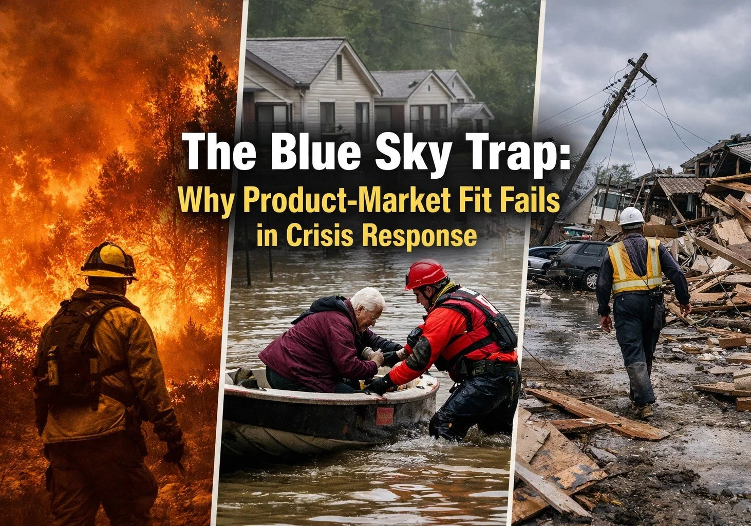
The Blue Sky Trap: Why Product-Market Fit Fails in Crisis Response
In a previous article, “The Emergency Management Market Isn’t a Fit: Until It Is,” we discussed the sudden, violent shift that happens when a community moves from a "Blue Sky" steady state into a "Gray Sky" disaster environment. We talked about how tech founders often ignore this sector until a crisis makes it the only thing that matters, leading to a frantic rush to deploy solutions when it is already too late.
But there is a second, more dangerous hurdle for tech innovators. Even after a company decides to enter the space, and even after they successfully secure initial interest, they often fall headfirst into the Blue Sky Trap.
The Blue Sky Trap is what happens when you build a product for the world as you wish it were: full of high-speed 5G, ergonomic office chairs, 32-inch 4K monitors, perfectly formatted data pipelines, and calm, well-rested decision-makers. You achieve what looks like perfect "product-market fit" in a climate-controlled demo room in Palo Alto, Austin, or a quiet government conference room. You pass the usability tests with flying colors, and your investors are thrilled.
Then, the hurricane hits. The fiber lines are severed. The backup generators fail. The user is standing in knee-deep water, the driving rain rendering their capacitive touchscreen useless, squinting at a cracked tablet while a radio screams incomprehensible chatter in their ear.
Suddenly, your carefully engineered product-market fit evaporates entirely.
If you want to survive the crucible of crisis response, you have to understand why "Smart Tech" frequently fails the 2:00 AM test. Having sat on both sides of the curtain—as a technology provider writing the code, and as a practitioner in the thick of disaster response utilizing it—it is abundantly clear that the barrier to entry isn't just a matter of software engineering. It’s the brutal, unforgiving reality of the field.
Silicon Valley Speed vs. The Reality of the Field
In the tech world, we are taught to "move fast and break things." We iterate in rapid two-week sprints. We ship Minimum Viable Products (MVPs) to see what sticks, relying on A/B testing, and confidently promising to fix the inevitable bugs in the next patch.
In emergency management, breaking things isn't an option.
A lag in a consumer food delivery app means a cold pizza. A lag or a "minor UI bug" in a geospatial tool being used to track search and rescue teams in a volatile debris field isn't a nuisance—it’s a life-safety risk. A server timeout could mean a Swift Water Rescue team gets routed to a sector that is already completely submerged. This creates a fundamental, cultural mismatch between tech-sector speed and the reality of government procurement and operational trust.

Founders often complain that government sales cycles are agonizingly slow. They are. But there’s a vital reason for the friction. Emergency managers aren't just buying SaaS licenses; they are betting their professional reputations, their legal liability, and the physical safety of their constituents on your tool. When an Incident Commander signs off on a new piece of software, they are tying their career to its uptime. If your product requires a constant, uninterrupted cloud connection to function, you haven't built a disaster tool; you’ve built a liability just waiting to be exposed.
Pixels Are Not Answers
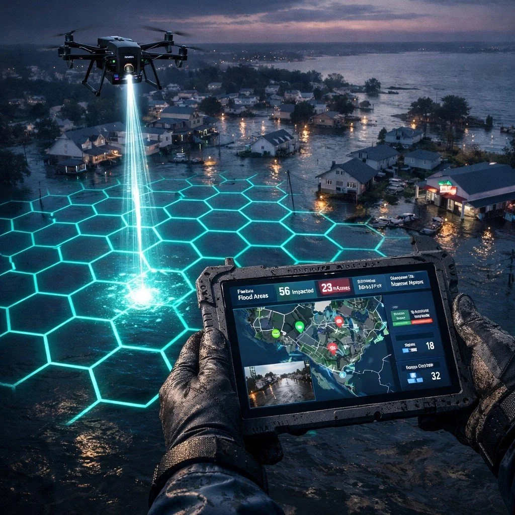
One of the biggest mistakes we see in the geospatial tech space is the absolute obsession with "more data" at the expense of "better intelligence."
Startups love to brag to investors about their sub-meter resolution, their proprietary AI-powered feature extraction, or the petabytes of satellite imagery they can ingest. They operate under the false assumption that the emergency market wants data.
The market does not want data. Emergency managers want answers.
During a catastrophic flood, a local emergency coordinator doesn't need to see 10,000 high-resolution, multi-spectral photos of submerged houses. They need to know immediately:
Which critical bridges are currently impassable?
Where are the medically vulnerable populations who cannot self-evacuate?
Which grocery stores and gas stations still have power and can support the response?
Similarly, during a rapidly spreading wildfire, a fire chief doesn't want a massive file that takes ten minutes to render on a spotty connection. They want a simple, color-coded polygon that definitively says: "Evacuate this zone in the next 15 minutes."
If your platform requires a highly trained GIS specialist to spend six hours "interpreting" the data before an actionable answer can be handed to the Incident Commander, you have failed the mission. In a crisis, adrenaline is high, sleep is non-existent, and the cognitive load of every operator is already pushed to its absolute limit. Adding more raw pixels to the screen just adds to the noise. Achieving true product-market fit in this space means shifting your entire paradigm from, "Look at this cool map" to, "Here is the critical decision you need to make right now."
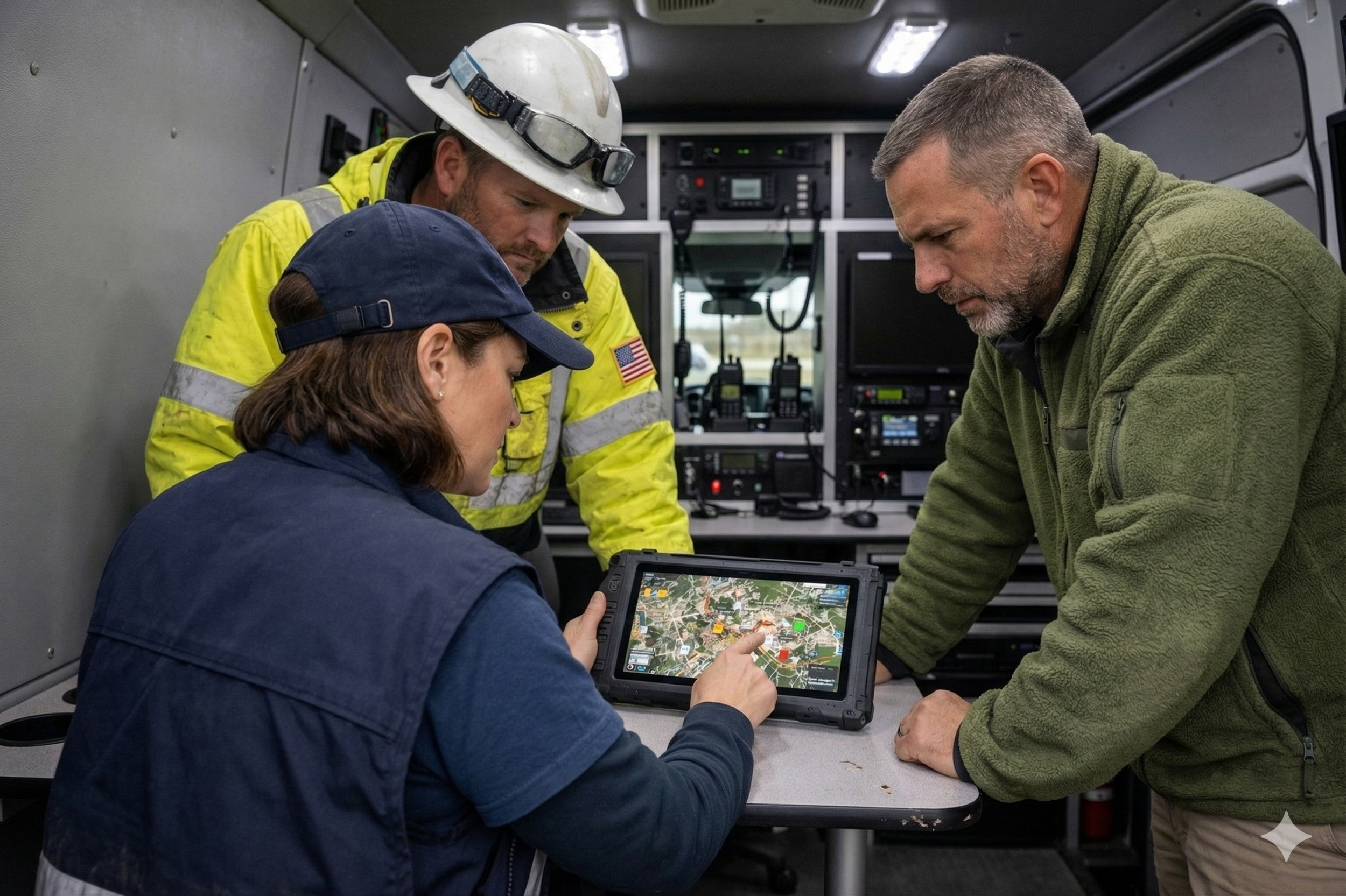
The Integration Barrier: If It’s Not in the Workflow, It Doesn’t Exist
You could build the most advanced AI damage assessment tool in the world, but if it doesn't talk to Esri ArcGIS, standard Crisis Management Systems (like WebEOC), or the rigid FEMA Preliminary Damage Assessment (PDA) standards, it will sit on a shelf and collect dust.
Emergency management is built on a foundation of highly specific, federally mandated doctrines. The Incident Command System (ICS) isn't just a friendly suggestion; it’s the law of the land, forged from the chaos of historic disasters to bring order to multi-agency responses. It does not bend to accommodate your SaaS architecture; your architecture must bend to it. Similarly, the 2025 FEMA PDA Guide now explicitly recognizes "virtual sensing" and "digital surveys." If your tech doesn't align natively with these federal frameworks, your users literally cannot use your data to justify the federal disaster declarations that unlock critical funding.
Tech companies frequently arrive trying to "disrupt" the workflow by introducing an entirely new platform that requires its own unique login, its own training curriculum, and its own proprietary data silo. In this industry, that is a death sentence. When the sirens are sounding, no one has the mental bandwidth to remember a new password or figure out how to export a CSV just to get data into their main system. To be successful, your tool must be standard-adjacent. It should be the invisible connective tissue that makes existing, trusted systems better, not a new island that exhausted people have to swim to.
Designing for the "Gray Sky" Environment
To truly avoid the Blue Sky Trap, product teams must culturally adopt a "Gray Sky" design philosophy from day one. This involves a few non-negotiable engineering rules:
Offline-First Architecture: If your app becomes a digital brick the moment it loses a cellular handshake, it’s not a disaster tool. It must allow users to collect data offline and sync seamlessly—and without data duplication—the second a connection is restored.
Low-Bandwidth Optimization: Can your dashboard load on a degraded 3G sat-link? If you are trying to send a 50MB payload of base maps to a device in the field, it won’t work when the local fiber line is cut. Data packets must be ruthlessly minimized.
One-Handed Operation: Field users are rarely sitting down. They are often carrying heavy gear, holding a radio, or clinging to a steering wheel. Your UI should feature large, high-contrast touch targets that are usable with one hand, often while wearing thick gloves. If your app requires a delicate two-finger pinch-to-zoom to function, it will fail.
Graceful Degradation: When the high-res drone imagery inevitably fails to load due to network constraints, does the app silently fail, or does it still show the basic vector road network? Never let the failure of a "nice-to-have" feature crash the core functionality of the application.
The most "innovative" feature in this industry is often extreme simplicity. In the absolute heat of a response, a massive, idiot-proof green button that simply says "Report Blocked Road" is worth infinitely more than a thousand-layer, highly complex GIS suite.
The Trust Gap: Field Testing is the Real Barrier
Finally, let’s talk about trust. In the public safety and disaster tech world, trust is the primary currency. You absolutely cannot buy it with a massive marketing budget, and you cannot win it with a glossy pitch deck or a slick UI. They have been burned by shiny tech before.
Trust in emergency management is built through shared misery and proven reliability. You win trust by standing in the pouring rain with the practitioners. You win it by showing up at the 4:00 AM operational briefing, getting mud on your boots, and watching how your tool actually performs when the user is exhausted. You win it by participating in grueling exercises like the All Hazard Consortium (AHC) 2026 Public/Private Crisis Innovation Summit, where the private sector and government agencies actually hash out exactly how critical data will flow during a simulated multi-state power outage.
This is where the concept of Public-Private Partnerships (PPP) moves from an empty conference buzzword to a mission-critical strategy. The private sector owns the vast majority of our critical infrastructure: the power lines, the grocery supply chains, the telecommunications networks. True emergency management is a "whole-community" effort. If your technology reliably facilitates that cross-sector collaboration—if it seamlessly helps a major utility company share its live outage status with a county EOC without breaking their respective security protocols—you are no longer just a software vendor. You are an operational partner.
The Path Forward
Achieving true product-market fit in crisis response is incredibly hard. It is infinitely harder than building a standard B2B SaaS tool for human resources or sales tracking. But the stakes are incomparably higher, and the impact is profound.
The tech companies that succeed here are those that definitively stop looking at emergency management as a "niche vertical" to exploit and start looking at it as a high-stakes operational environment that demands the absolute best of our engineering capabilities. Don't wait for the next catastrophic hurricane or wildfire to find out your product can't handle the heat.
If you’re a founder, a lead engineer, or a product manager trying to navigate this complex landscape, start by getting out of the office. Go talk to the people who actually wear the high-visibility vests. Shadow a dispatcher. Sit in the back of an EOC during a tabletop exercise. Ask them what they actively hate about their current tools. Ask them what analog workarounds they used the last time the internet went down.
Building for the "Gray Sky" isn't just about writing better, more efficient code; it’s about a deeper, uncompromising commitment to the mission of saving lives and restoring communities.
In our next article, we’ll dive into the specific, historical reasons why emergency managers intrinsically distrust new technology, and outline the tactical steps you can take to earn a permanent seat at the table. Until then, take a hard, honest look at your product pipeline: Are you building a Blue Sky toy, or a Gray Sky tool?
Chris is a contributing author for Project Geospatial, focusing on the intersection of cutting-edge geospatial technology and the high-stakes realities of disaster operations.