


GEOSPATIAL FRONTIERS
A Publication by Project Geospatial
LOOKING BEYOND
THE MAP
Geospatial Frontiers, a new publication from Project Geospatial, brings together leading voices and experts from across the geospatial ecosystem to tackle the industry's most pressing challenges. Through in-depth articles and discussions, Geospatial Frontiers aims to explore innovative solutions and spark critical conversations that will shape the future of geospatial technology and its applications.
Contributing Authors






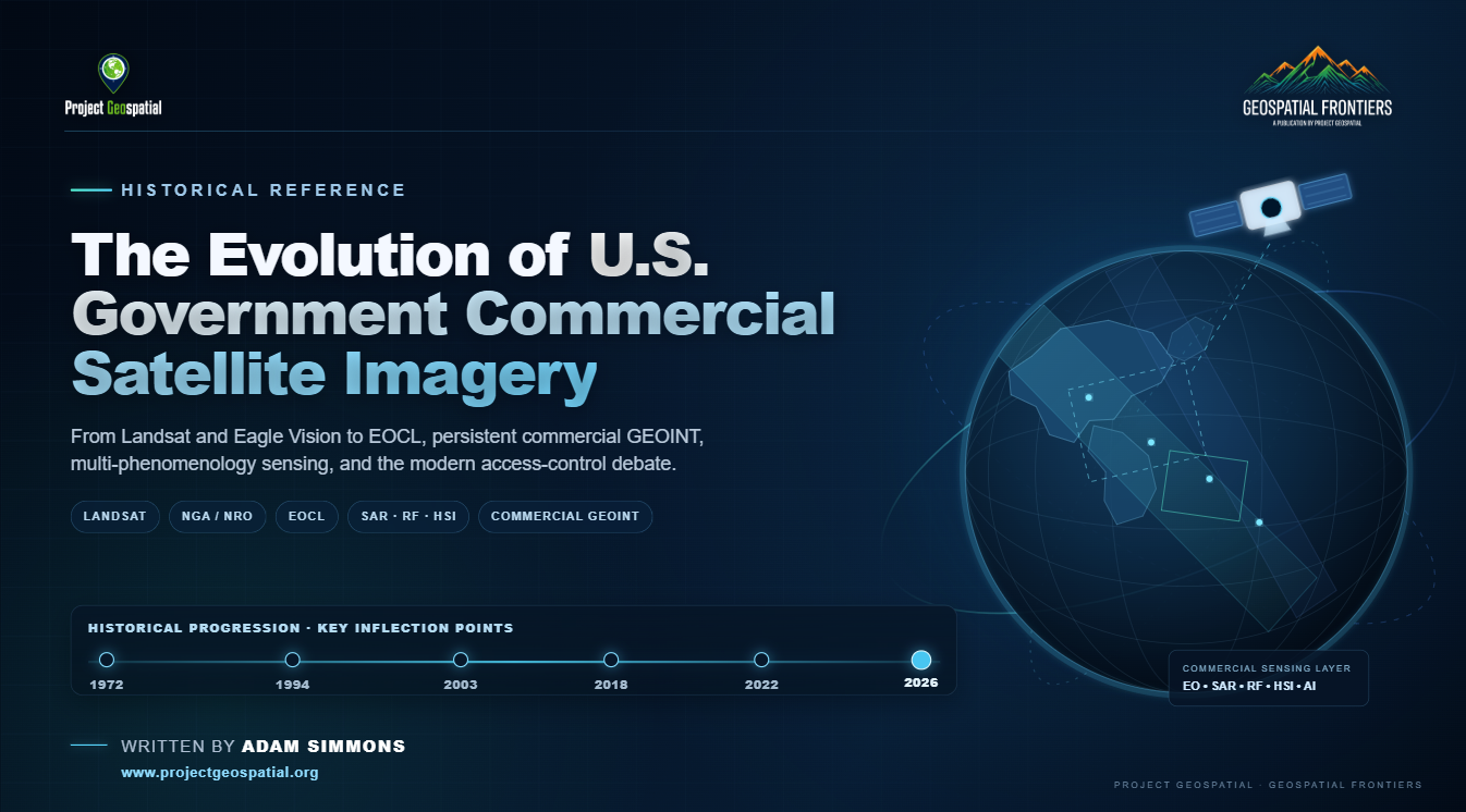
The Evolution of Commercial Satellite Imagery in the U.S. Government
Commercial satellite imagery has evolved from a tightly controlled national-security capability into a foundational layer of the modern U.S. geospatial intelligence architecture. This historical overview traces that transformation from Landsat, EOSAT, Eagle Vision, and the early commercialization experiments through ClearView, NextView, EnhancedView, EOCL, and today’s expanding commercial sensing ecosystem of optical imagery, SAR, hyperspectral, radio frequency, AI, and analytics. It also examines the policymakers, intelligence leaders, scientists, companies, and acquisition strategies that helped build the government-commercial partnership—and the emerging 2026 debate over access, managed distribution, national security, and how the United States governs an increasingly global and commercially driven GEOINT environment.
The Open Skies Dilemma: Analyzing the 2027 Intelligence Authorization Act and the Future of Commercial Earth Observation
The 2027 Intelligence Authorization Act (H.R. 9624) aims to mandate strict blackouts on U.S. commercial satellite imagery in the name of national security. However, in an era of global orbital abundance, this proposed government censorship threatens to cripple open-source intelligence (OSINT), betray the democratic spirit of the First Amendment, and cede America's Earth observation dominance to foreign competitors. Discover why weaponizing federal contracts to force "orbital blindness" is a profound strategic and moral miscalculation.
The Queryable Earth: How the SpatioTemporal Asset Catalog Liberated Public Imagery from Legacy Silos
Unlock the power of cloud-native geospatial data processing with this comprehensive deep-dive into how the SpatioTemporal Asset Catalog (STAC) specification has liberated public Earth observation archives from fragmented legacy silos. Learn the critical architectural differences between lightweight, serverless Static STAC Catalogs and dynamic, high-performance STAC APIs aligned with OGC features. From the grassroots "Guerrilla Standards" playbook to the modern tooling explosion, including PySTAC, serverless GeoParquet, and native QGIS integration, discover how planetary-scale systems like USGS Landsat Collection 2 and the Microsoft Planetary Computer power real-time scientific research and humanitarian disaster response pipelines. Plus, leverage our curated, interactive open satellite data directory to easily find and stream real-world spatial assets directly to your desktop GIS, eliminating traditional download bottlenecks forever.
The Cinematic Satellite: Hollywood's Complicated Relationship with Earth Observation
In "Geospatial Intelligence in Hollywood Films," we explore the fascinating divide between Hollywood's thrilling depiction of satellite technology and the complex reality of geospatial intelligence (GEOINT). While blockbuster films often portray Earth Observation (EO) as an omnipotent, real-time surveillance tool capable of tracking moving targets with joystick control, the truth relies on orbital mechanics, optical physics, and the meticulous analysis of static, high-resolution imagery. From the technical blunders of 1990s conspiracy thrillers to the highly accurate portrayals of pattern-of-life analysis in modern cinema, this article dissects the evolution of remote sensing on the silver screen. Discover how the democratization of commercial space data and the rise of Spatial AI are forcing filmmakers to abandon the "magical satellite" trope in favor of the profound, quiet reality faced by real-world geospatial analysts.
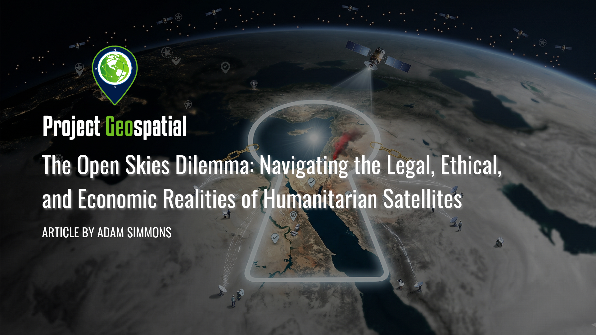
The Open Skies Dilemma: Navigating the Legal, Ethical, and Economic Realities of Humanitarian Satellites
As the democratization of space faces a harsh reality check, the 2026 Middle East geospatial embargo has exposed a critical vulnerability in global transparency. While "New Space" promised an era of irrefutable clarity for human rights monitors, most commercial providers remain inextricably tethered to national security mandates and defense-oriented anchor contracts. This comprehensive investigation deconstructs the legal labyrinth of shutter control, the ethical dual-use dilemmas of high-resolution imagery, and the "Defense Paradox" that currently forces orbital abundance to prioritize military ISR over the public good. Explore how the Common Space initiative is pioneering a radical shift toward community-governed satellites and "club good" financial models to ensure that the "science of where" becomes an unassailable tool for humanitarian resilience rather than state surveillance.
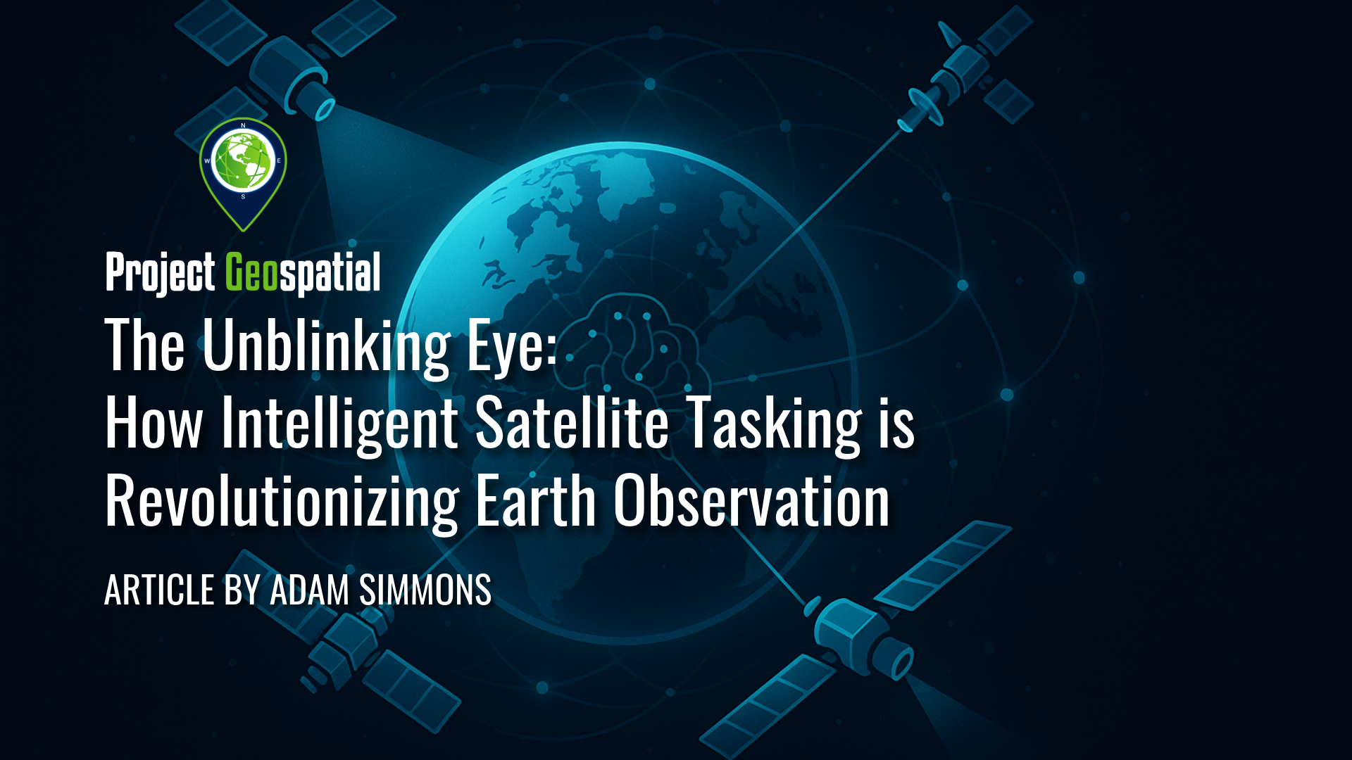
The Unblinking Eye: How Intelligent Satellite Tasking is Revolutionizing Earth Observation
The way we observe our planet from orbit is undergoing a seismic shift, moving beyond the limitations of traditional satellite tasking to embrace a future of intelligent, interconnected Earth observation. This revolution is powered by the synergy of "virtual constellations" – diverse networks of coordinated sensors – and sophisticated "tipping and cueing" workflows, where broad-area monitoring by some assets automatically directs high-resolution satellites to points of critical interest. Underpinning this entire evolution is the transformative power of Artificial Intelligence, which not only automates the detection of subtle changes and orchestrates complex tasking but also distills vast streams of imagery into actionable insights, promising a more transparent, responsive, and understandable world.