


GEOSPATIAL FRONTIERS
A Publication by Project Geospatial
LOOKING BEYOND
THE MAP
Geospatial Frontiers, a new publication from Project Geospatial, brings together leading voices and experts from across the geospatial ecosystem to tackle the industry's most pressing challenges. Through in-depth articles and discussions, Geospatial Frontiers aims to explore innovative solutions and spark critical conversations that will shape the future of geospatial technology and its applications.
CONTRIBUTING AUTHORS

Adam Simmons

Keith Barber

Fred Woods

Matthew Husted

Chris Vaughan
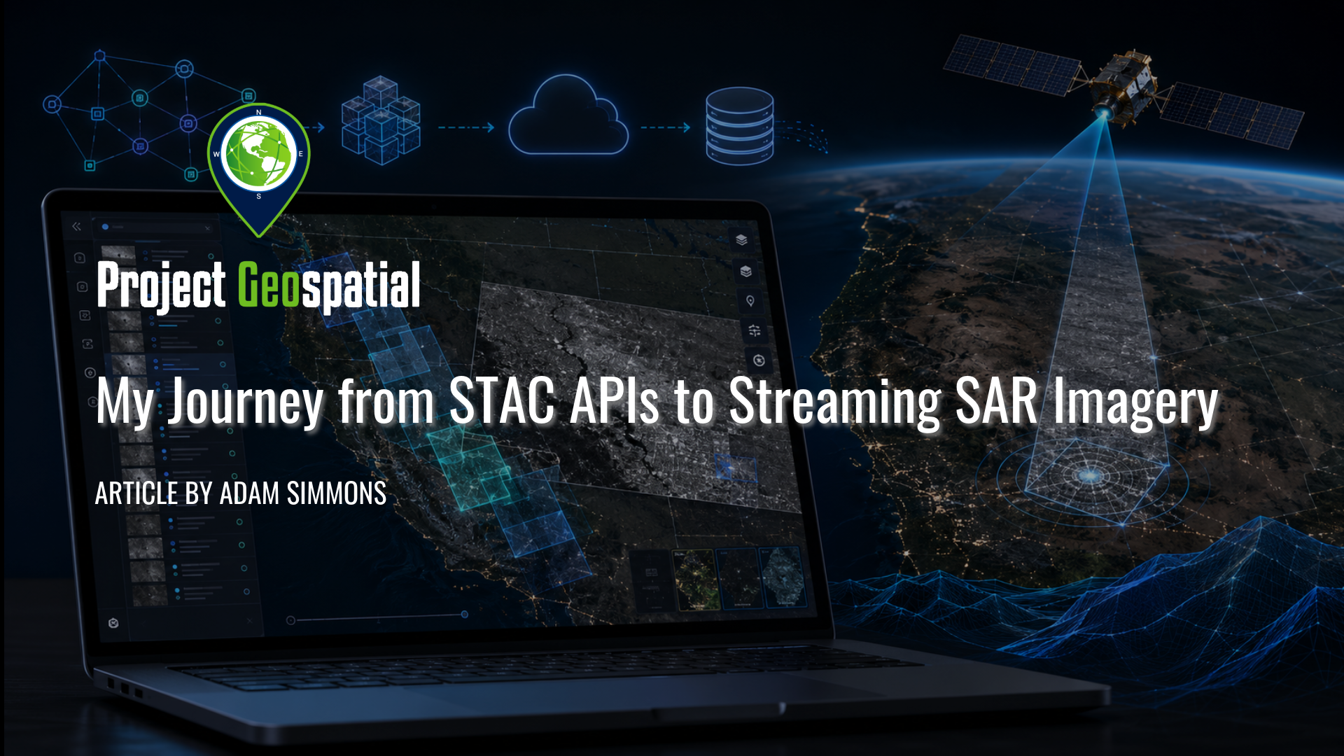
My Journey from STAC APIs to Streaming SAR Imagery
Explore the journey from STAC APIs to browser-streamed SAR imagery in this Project Geospatial field note on building a lightweight open-source web app for visualizing and streaming imagery from STAC APIs. The article examines the challenge of connecting STAC metadata to real AWS-hosted imagery files, streaming Cloud Optimized GeoTIFFs in a browser, and handling practical hurdles around COG quality, scale, rotation, and georeferencing. Focused initially on the Umbra Open Data Catalog, the project highlights the growing need for accessible map-based tools that help analysts, researchers, educators, developers, and disaster-response communities explore open imagery catalogs without immediately relying on desktop GIS workflows.