
EXPLORE THE GEOSPATIAL INDUSTRY THROUGH THE EVENTS WE’VE COVERED…
Featured
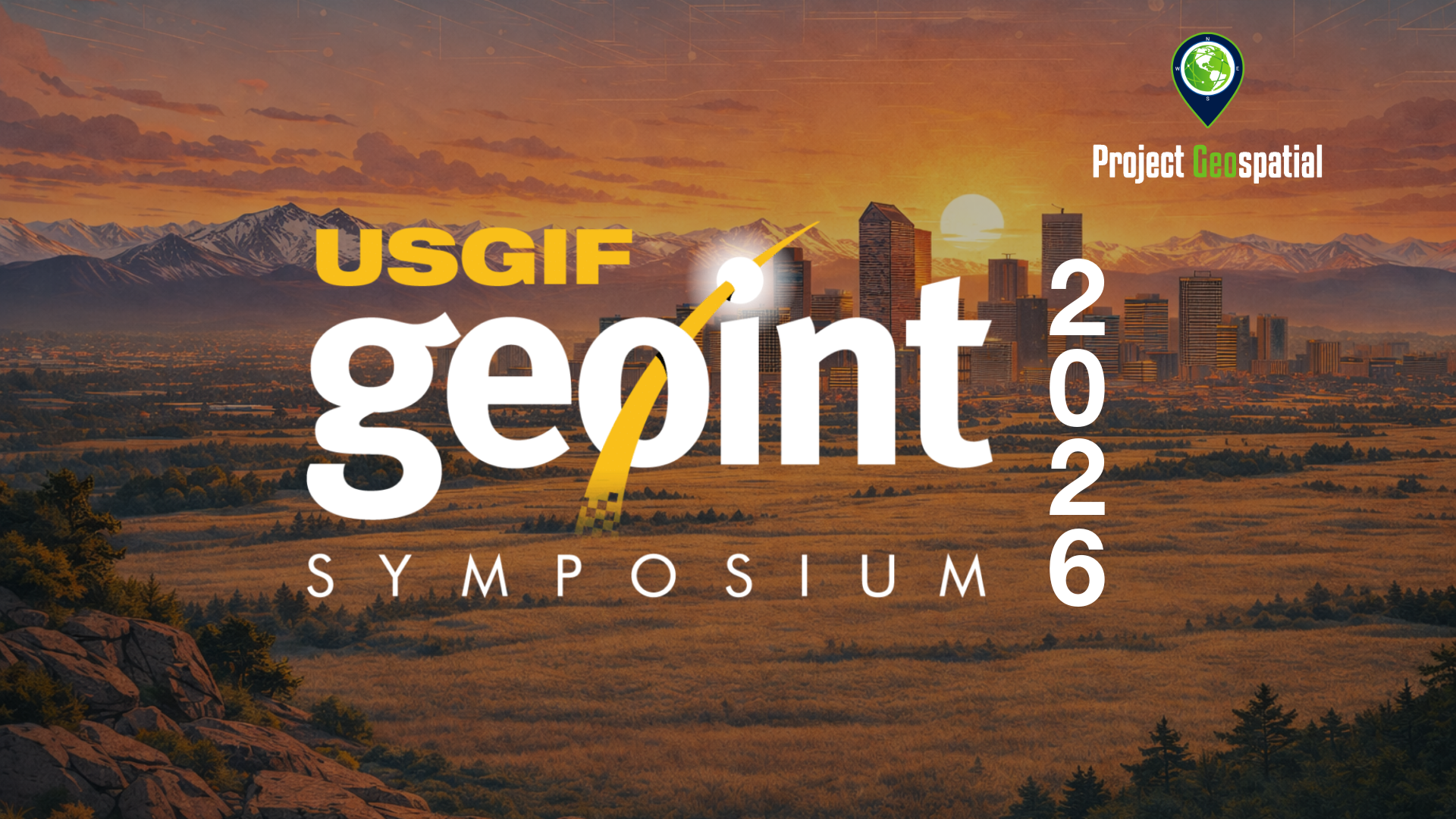


Catch up on the latest innovations from GEOINT 2026, the nation’s largest gathering of geospatial intelligence professionals hosted by USGIF. Explore Project Geospatial’s exclusive on-the-ground coverage and watch our comprehensive floor interviews with the industry leaders, defense experts, and tech innovators shaping the future of national security and mapping tech.
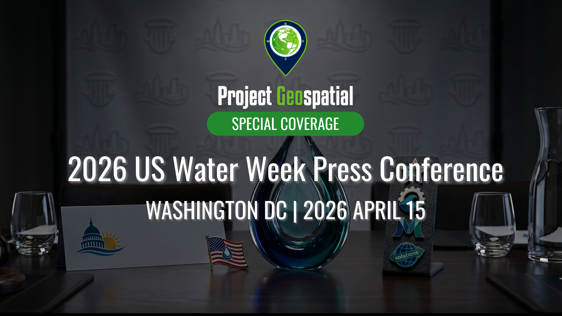
On April 15, 2026, the National Press Club hosted a powerhouse lineup of federal representatives, utility CEOs, and industry experts to address the critical "tipping point" of U.S. water management. Our coverage explores the full program: from federal legislative shifts in the Southwest and Central Valley to the frontline challenges of aging infrastructure and affordability. We look at how utility leaders are driving resilience and where strategic investments—including advancements in geospatial insights and digitalization—are unlocking long-term value for communities and the environment.
Discover the power of open-source technologies with Project Geospatial’s complete coverage of FedGeoDay 2025. As the premier event dedicated to open geospatial ecosystems within the U.S. federal government, FedGeoDay brings together government, industry, and academic leaders. Watch our exclusive on-the-ground interviews, keynote highlights, and panel discussions to learn how open data and collaborative mapping are driving resilience and innovation across federal agencies.
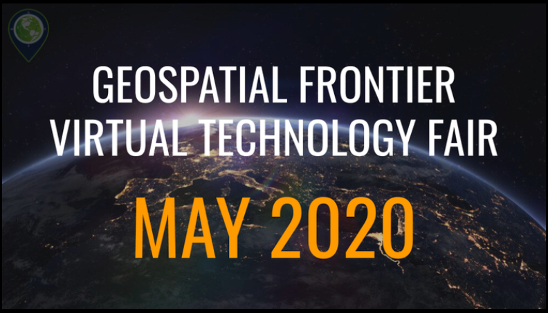
The DMV GIS Day 2025: Midpoint Meetup, held virtually on April 30, 2025, brought together GIS professionals, government officials, educators, students, and technology enthusiasts to celebrate geospatial innovation in the Washington, D.C., Maryland, and Virginia region.
The event showcased the history, latest innovations, applications, and trends in GIS within the DMV area, featuring leaders from government, academia, and industry. Attendees learned about cutting-edge GIS technology used in public safety, urban planning, and environmental sustainability and had opportunities to network with fellow professionals. Sessions covered topics such as OpenStreetMap and Government, Simplifying Data Integration Using Postgres, Enterprise Address Management, Disaster Forecast Modeling, and building a Bike Comfort Map.
Take a deep dive into the vital intersection of open-source software and disaster preparedness with Project Geospatial’s complete coverage of FedGeoDay 2025. Held across the Department of the Interior's Yates Auditorium and the American Red Cross building in Washington, D.C., this milestone event centered on "Open Resilience." Watch our extensive interview archive to see how federal program managers and industry leaders are leveraging open geospatial environments to predict, prepare for, and respond to global crises.
Step onto the floor of FOSS4G North America 2024 with Project Geospatial. From the heart of St. Louis's booming tech district, our media team captured the pulse of the free and open-source geospatial community. Explore our comprehensive video hub to hear directly from the developers, technologists, and innovators who are democratizing data and building the next generation of mapping software.
Discover the power of open-source technologies with Project Geospatial’s complete coverage of FedGeoDay 2024. Hosted at the Department of the Interior in Washington, D.C., this premier federal event brought together program managers, technologists, and industry partners to discuss the future of open geospatial ecosystems. Watch our exclusive on-the-ground interviews, keynote highlights, and panels to see how open data is growing capabilities across the U.S. federal government.
Geospatial intelligence is rapidly evolving, and Project Geospatial was on the ground in Florida to capture every moment of GEOINT 2024. Centered around the theme "Essential in All Dimensions and Domains," the symposium brought together the brightest minds in national security and mapping tech. Dive into our complete archive to hear directly from the leaders and innovators shaping the future of defense, AI, and commercial imagery.
When the open-source community and federal program managers come together, the results shape the entire geospatial industry. Project Geospatial brings you comprehensive coverage from the combined FOSS4G NA and FedGeoDay 2023 conference in Baltimore. Dive into our exclusive video hub to hear directly from developers, government experts, and industry innovators discussing open science, collaborative coding, and the open-source tools revolutionizing federal capabilities.
Take a look back at the technologies that bridged the physical and digital worlds at GEOINT 2023. Hosted by USGIF in St. Louis, Missouri, the symposium centered on the groundbreaking theme "From Maps to Metaverse." Project Geospatial was on the exhibit floor to document it all. Watch our comprehensive video archive of floor interviews to hear defense leaders and industry innovators discuss the shift toward digital twins, advanced commercial imagery, and next-generation national security solutions.
Return to the heart of federal innovation with Project Geospatial’s complete coverage of FedGeoDay 2022. Held in Washington, D.C., this milestone event marked a return to in-person collaboration for the geospatial community. Watch our exclusive on-the-ground interviews, technical panels, and lightning talks to explore how open-source software, collaborative mapping, and open science are driving new capabilities across the U.S. federal government.
Experience the nation's premier gathering of intelligence and mapping professionals. Project Geospatial was on site for GEOINT 2022 in Colorado to capture the pulse of the industry's critical conversations. Browse our curated collection of floor interviews to learn how defense, government, and commercial partners are teaming up to advance the mission and build the foundation of modern intelligence.
Step into the strategic dialogue that is reshaping the future of our planet. Project Geospatial brings you comprehensive coverage of the 2021 Geography 2050 symposium, hosted by the American Geographical Society. Browse our curated collection of sessions and interviews to learn how the geospatial community is confronting economic, environmental, and social disparities to map out a more equitable future.
After a period of unprecedented separation, the geospatial community reunited in St. Louis for GEOINT 2021, and Project Geospatial was there to capture it all. Focusing on "Discovery and Connections," the symposium highlighted the power of collaboration across the industry. Dive into our exclusive video archive to hear directly from innovators and government leaders as they showcase new technologies, share mission-critical data, and forge the partnerships that drive modern intelligence.
Uncover the geographic trends reshaping our global waters. Project Geospatial brings you front-row digital access to the American Geographical Society’s 2020 Geography 2050 symposium, centered entirely on the "Future of the World Ocean." Browse our curated collection of expert interviews and panel spotlights to discover how spatial technology and data analysis are helping us understand, navigate, and protect our planet's vast maritime domains.
FedGeoDay 2026 returned to the U.S. Census Bureau Headquarters in Suitland, MD, on April 22nd and 23rd, centering on the critical theme of "Building Ecosystems for Supporting Federal Data Stewardship." This premier event unites federal program managers, technology leaders, and industry innovators to explore the future of Open Geospatial Ecosystems, including open-source software, collaborative mapping, and AI-driven GeoAI applications. As an essential hub for the geospatial community, FedGeoDay 2026 features high-impact keynotes from leaders like Denice Ross (Federation of American Scientists) and technical sessions covering cloud-hosted SDI, FOSS4G use cases, and hazard exposure analytics. Project Geospatial is proud to provide special coverage of this pivotal event, bridging the gap between federal data policy and the cutting-edge technology ecosystems that drive national resilience and government transparency. Visit FedGeo.US for the full agenda and join the conversation on the latest trends in GIS, remote sensing, and interoperable spatial data infrastructure.