


GEOSPATIAL FRONTIERS
A Publication by Project Geospatial
LOOKING BEYOND
THE MAP
Geospatial Frontiers, a new publication from Project Geospatial, brings together leading voices and experts from across the geospatial ecosystem to tackle the industry's most pressing challenges. Through in-depth articles and discussions, Geospatial Frontiers aims to explore innovative solutions and spark critical conversations that will shape the future of geospatial technology and its applications.
CONTRIBUTING AUTHORS

Adam Simmons

Keith Barber

Fred Woods

Matthew Husted

Chris Vaughan
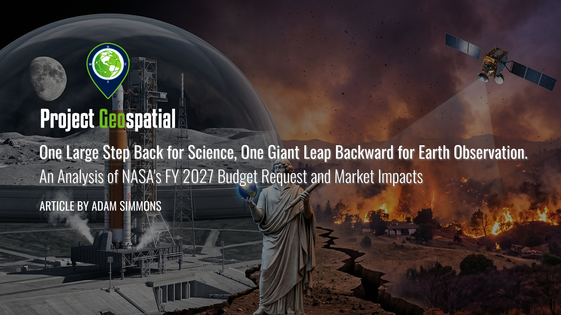
One Large Step Back for Science, One Giant Leap Backward for Earth Observation. An Analysis of NASA's FY 2027 Budget Request and Market Impacts
As federal priorities pivot from terrestrial observation to the Artemis lunar missions and Martian exploration, the geospatial and aerospace industries face a defining inflection point. This analysis explores how the proposed NASA FY 2027 budget’s "deep space first" strategy is dismantling traditional Earth Science funding models, forcing a rapid transition toward commercialized data solutions and decentralized satellite constellations. Discover how these strategic shifts in Earth Observation appropriations are reshaping the future of climate modeling, domestic infrastructure, and the global competitive landscape for aerospace manufacturing.
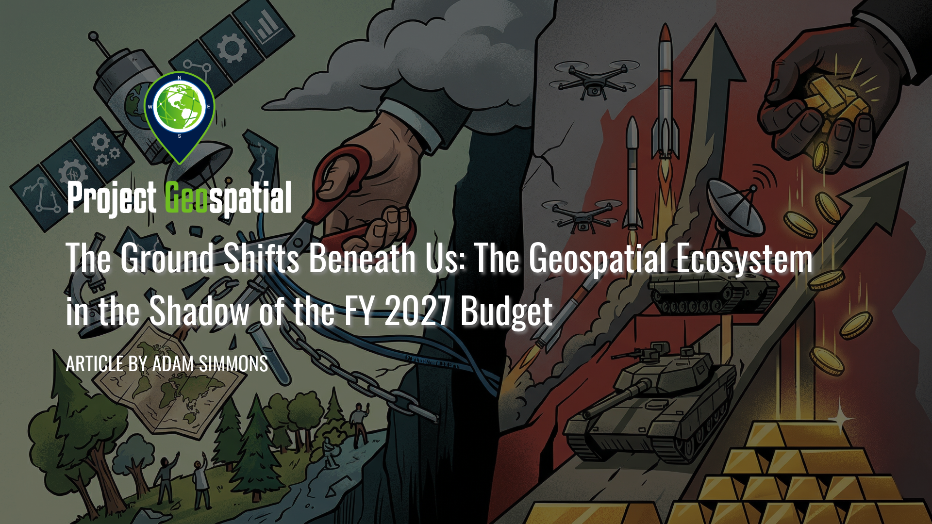
The Ground Shifts Beneath Us: The Geospatial Ecosystem in the Shadow of the FY 2027 Budget
The Fiscal Year 2027 budget request signals a seismic shift in American priorities, proposing a staggering $1.5 trillion for national defense while systematically dismantling decades of civilian Earth science and environmental monitoring. As the administration pivots toward a "Department of War" and aggressive commercial space acquisition , vital programs like NASA’s SERVIR and the USGS Ecosystems Mission Area face total elimination, threatening the foundational data streams that power global food security and domestic disaster response. This comprehensive analysis explores the deepening divide within the geospatial ecosystem, the rise of private-sector intelligence, and the long-term strategic risks of abandoning open-source scientific leadership in the face of intensifying global competition. How will this radical realignment of federal funding redefine the future of spatial awareness and national security?
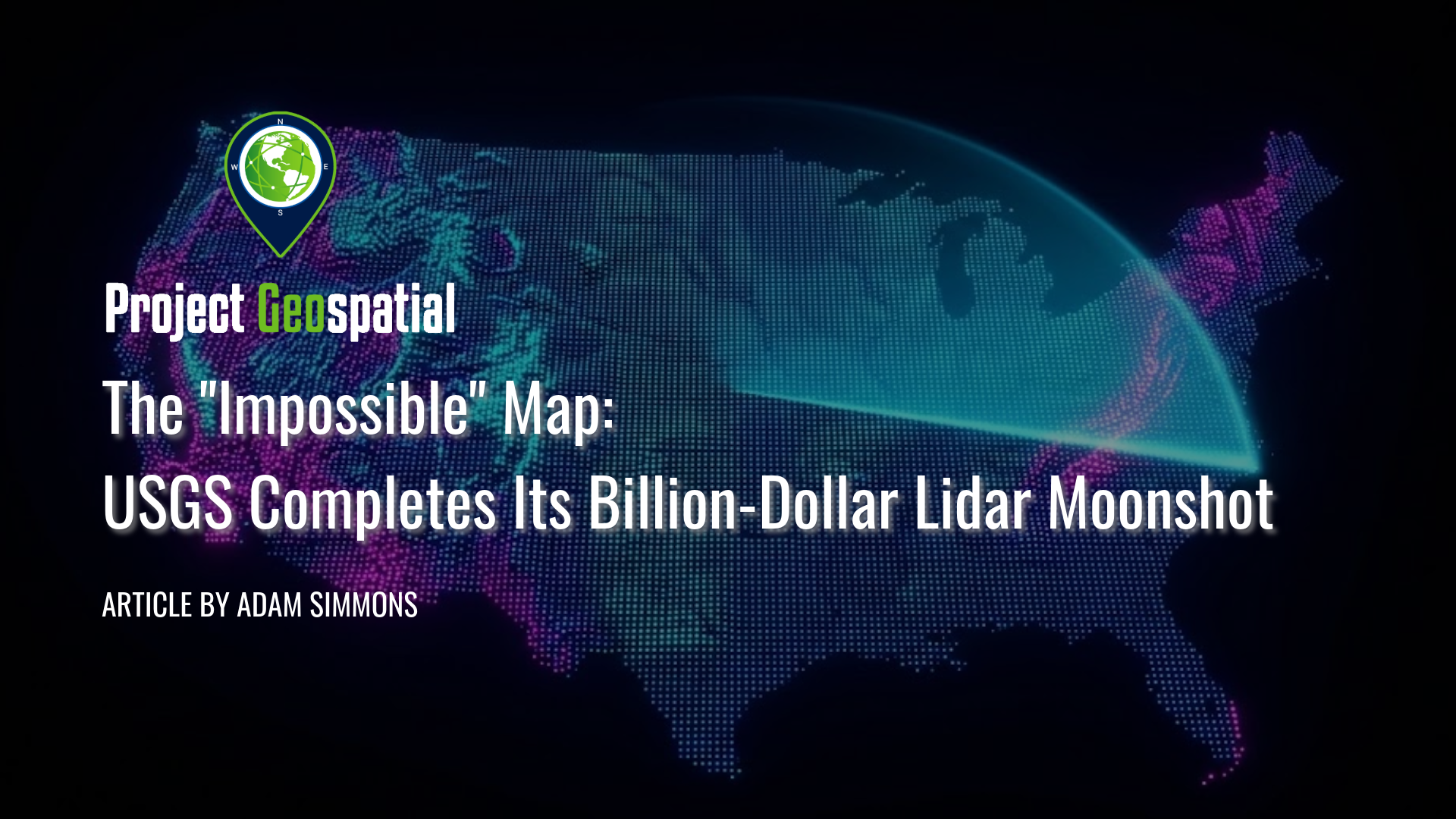
The "Impossible" Map: USGS Completes Its Billion-Dollar Lidar Moonshot
At Geo Week 2026, the USGS officially announced the completion of its decade-long "moonshot": the 3D Elevation Program (3DEP) baseline. This monumental $1 billion collaborative effort successfully mapped the entire United States with high-resolution lidar, creating the first continuous national "digital twin" of the country’s topography. Dive into how this unprecedented dataset was built through a "coalition of the willing" and discover how it is already revolutionizing everything from flood modeling to infrastructure planning.

The Silent Sentinels: Charting America's Past and Future, One Brass Disk at a Time
High on a remote mountaintop, you spot a metallic glint set in the bedrock: a weathered brass disk stamped with cryptic words and a perfect triangle. What is this object? It's a geodetic survey marker, a physical anchor from a two-century-long scientific odyssey to measure and map a continent.
This is the story of how a network of brass and sweat, laid down with grueling labor and uncompromising precision, formed the invisible framework of our modern world. Discover the audacious vision of Ferdinand Hassler, the brutal life of a survey party, and the elegant science of triangulation that transformed an unmapped frontier into a tangible nation.
But in an age of GPS, are these markers mere relics? Explore the paradox of why these "silent sentinels" are more critical than ever, anchoring our virtual, satellite-driven age to the solid ground beneath our feet.

A Visionary's Legacy: Celebrating Landsat 7 (1999-2025)
Today marks the final, quiet farewell to Landsat 7, a satellite that has tirelessly served as humanity's eye on Earth for over a quarter-century. Its incredible 2.5 million images have not only documented our planet's vital pulse – from receding glaciers to changing forests – but have also empowered countless discoveries and deepened our understanding of our world. As it drifts into its final, silent orbit, we honor its unparalleled service and the dedication of the countless individuals who guided its mission, ensuring its legacy of environmental insight endures.