


GEOSPATIAL FRONTIERS
A Publication by Project Geospatial
LOOKING BEYOND
THE MAP
Geospatial Frontiers, a new publication from Project Geospatial, brings together leading voices and experts from across the geospatial ecosystem to tackle the industry's most pressing challenges. Through in-depth articles and discussions, Geospatial Frontiers aims to explore innovative solutions and spark critical conversations that will shape the future of geospatial technology and its applications.
Contributing Authors






The Landsat Commercial Transition: The Hard Part Is Making the Economics Work
NASA and the USGS are preparing for a historic shift: transitioning the Landsat program to rely on commercial Earth observation data by 2035. But as the Sustainable Land Imaging (SLI) Commercial Transition Initiative moves forward, it revives a decades-old question: what happens when a foundational public science mission is forced to operate under commercial economics? Explore the complex history of Landsat commercialization, the downstream economic value of free and open-access imagery, and the geopolitical risks of relying on the "New Space" market to sustain a 50-year scientific record.
One Large Step Back for Science, One Giant Leap Backward for Earth Observation. An Analysis of NASA's FY 2027 Budget Request and Market Impacts
As federal priorities pivot from terrestrial observation to the Artemis lunar missions and Martian exploration, the geospatial and aerospace industries face a defining inflection point. This analysis explores how the proposed NASA FY 2027 budget’s "deep space first" strategy is dismantling traditional Earth Science funding models, forcing a rapid transition toward commercialized data solutions and decentralized satellite constellations. Discover how these strategic shifts in Earth Observation appropriations are reshaping the future of climate modeling, domestic infrastructure, and the global competitive landscape for aerospace manufacturing.
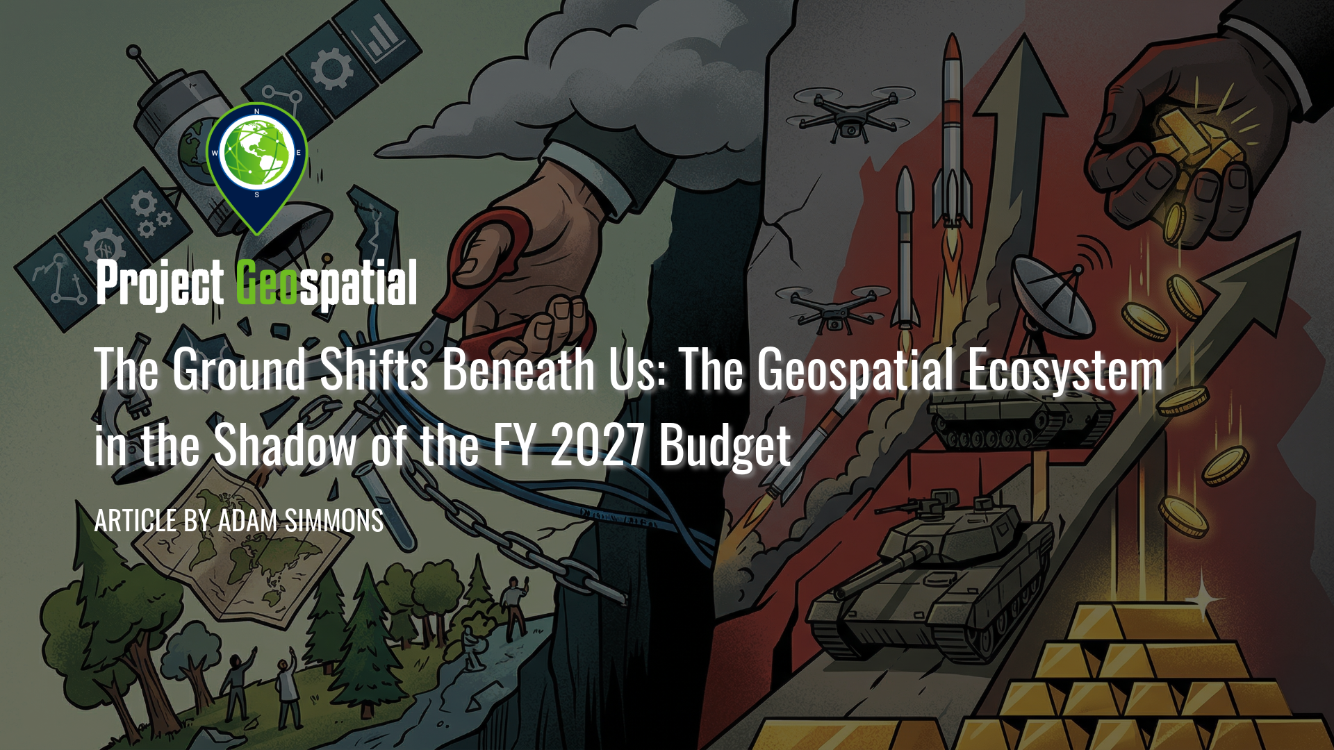
The Ground Shifts Beneath Us: The Geospatial Ecosystem in the Shadow of the FY 2027 Budget
The Fiscal Year 2027 budget request signals a seismic shift in American priorities, proposing a staggering $1.5 trillion for national defense while systematically dismantling decades of civilian Earth science and environmental monitoring. As the administration pivots toward a "Department of War" and aggressive commercial space acquisition , vital programs like NASA’s SERVIR and the USGS Ecosystems Mission Area face total elimination, threatening the foundational data streams that power global food security and domestic disaster response. This comprehensive analysis explores the deepening divide within the geospatial ecosystem, the rise of private-sector intelligence, and the long-term strategic risks of abandoning open-source scientific leadership in the face of intensifying global competition. How will this radical realignment of federal funding redefine the future of spatial awareness and national security?