
EXPLORE THE GEOSPATIAL INDUSTRY THROUGH THE EVENTS WE’VE COVERED…
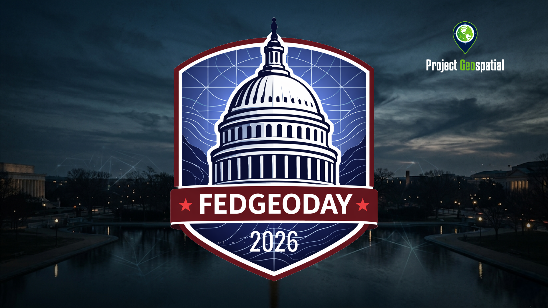
FEDGEODAY 2026
FedGeoDay 2026 returned to the U.S. Census Bureau Headquarters in Suitland, MD, on April 22nd and 23rd, centering on the critical theme of "Building Ecosystems for Supporting Federal Data Stewardship." This premier event unites federal program managers, technology leaders, and industry innovators to explore the future of Open Geospatial Ecosystems, including open-source software, collaborative mapping, and AI-driven GeoAI applications. As an essential hub for the geospatial community, FedGeoDay 2026 features high-impact keynotes from leaders like Denice Ross (Federation of American Scientists) and technical sessions covering cloud-hosted SDI, FOSS4G use cases, and hazard exposure analytics. Project Geospatial is proud to provide special coverage of this pivotal event, bridging the gap between federal data policy and the cutting-edge technology ecosystems that drive national resilience and government transparency. Visit FedGeo.US for the full agenda and join the conversation on the latest trends in GIS, remote sensing, and interoperable spatial data infrastructure.
FOSS4G 2025
Discover the power of open-source technologies with Project Geospatial’s complete coverage of FedGeoDay 2025. As the premier event dedicated to open geospatial ecosystems within the U.S. federal government, FedGeoDay brings together government, industry, and academic leaders. Watch our exclusive on-the-ground interviews, keynote highlights, and panel discussions to learn how open data and collaborative mapping are driving resilience and innovation across federal agencies.

FEDGEODAY 2025
Take a deep dive into the vital intersection of open-source software and disaster preparedness with Project Geospatial’s complete coverage of FedGeoDay 2025. Held across the Department of the Interior's Yates Auditorium and the American Red Cross building in Washington, D.C., this milestone event centered on "Open Resilience." Watch our extensive interview archive to see how federal program managers and industry leaders are leveraging open geospatial environments to predict, prepare for, and respond to global crises.

FOSS4G NA 2024
Step onto the floor of FOSS4G North America 2024 with Project Geospatial. From the heart of St. Louis's booming tech district, our media team captured the pulse of the free and open-source geospatial community. Explore our comprehensive video hub to hear directly from the developers, technologists, and innovators who are democratizing data and building the next generation of mapping software.

FEDGEODAY 2024
Discover the power of open-source technologies with Project Geospatial’s complete coverage of FedGeoDay 2024. Hosted at the Department of the Interior in Washington, D.C., this premier federal event brought together program managers, technologists, and industry partners to discuss the future of open geospatial ecosystems. Watch our exclusive on-the-ground interviews, keynote highlights, and panels to see how open data is growing capabilities across the U.S. federal government.

FOSS4G 2023
When the open-source community and federal program managers come together, the results shape the entire geospatial industry. Project Geospatial brings you comprehensive coverage from the combined FOSS4G NA and FedGeoDay 2023 conference in Baltimore. Dive into our exclusive video hub to hear directly from developers, government experts, and industry innovators discussing open science, collaborative coding, and the open-source tools revolutionizing federal capabilities.

FEDGEODAY 2022
Return to the heart of federal innovation with Project Geospatial’s complete coverage of FedGeoDay 2022. Held in Washington, D.C., this milestone event marked a return to in-person collaboration for the geospatial community. Watch our exclusive on-the-ground interviews, technical panels, and lightning talks to explore how open-source software, collaborative mapping, and open science are driving new capabilities across the U.S. federal government.