
EXPLORE THE GEOSPATIAL INDUSTRY THROUGH THE VISIONS OF THOSE INVOLVED…
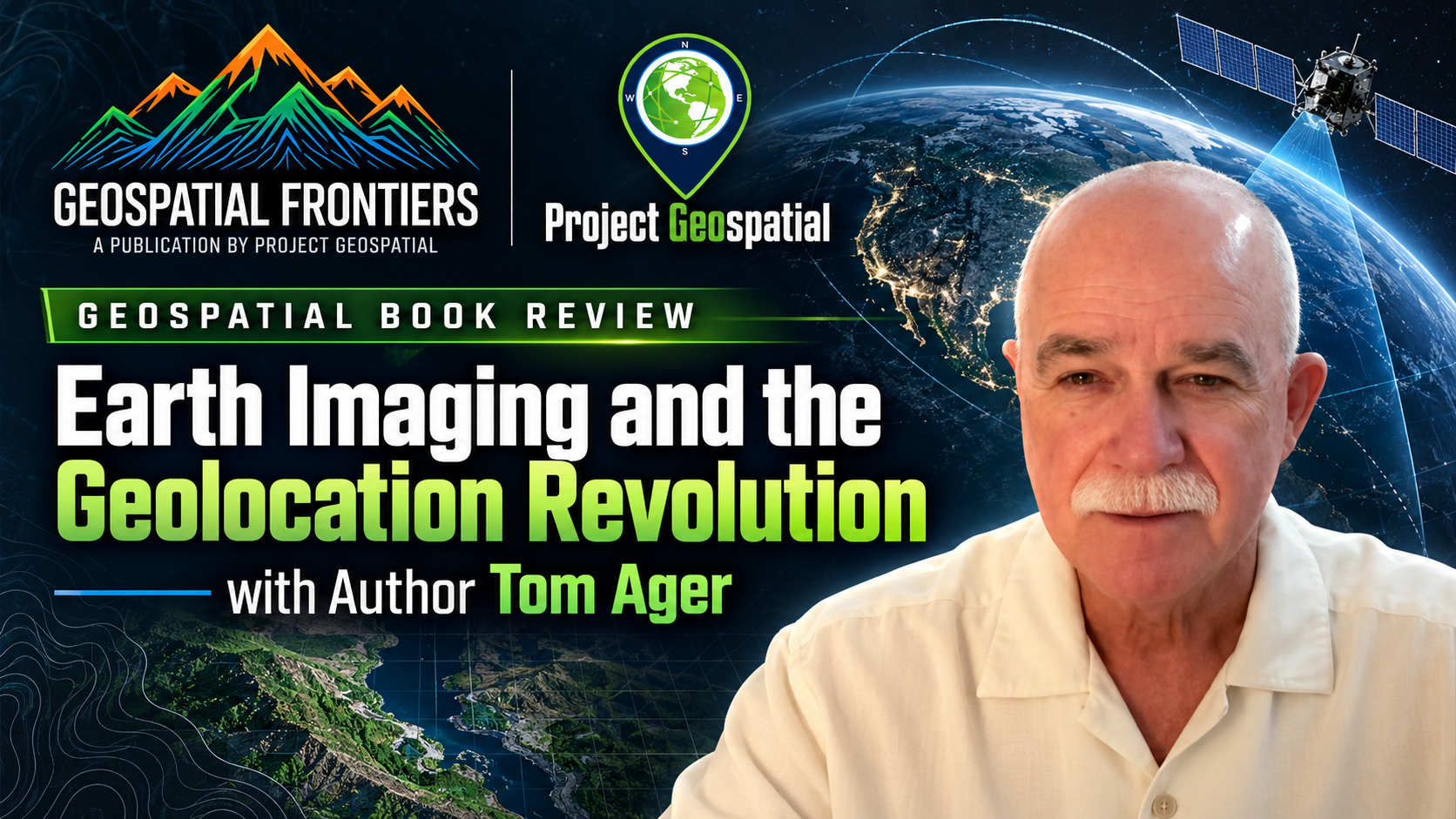
Book Review - Earth Imaging and the Geolocation Revolution
Veteran geodesist and author Thomas P. Ager joins hosts Adam Simmons and Daryl Murdock on Project Geospatial to demystify the complex science of geolocation and Synthetic Aperture Radar (SAR). Ager unpacks concepts from his latest book, Earth Imaging and the Geolocation Revolution, challenging the GEOINT community to stop treating satellite imagery as a "flat sheet of rubber". The episode tackles the hidden potential of SAR phase data, the mechanics of Rational Polynomial Coefficients (RPC) for rapid positioning, and the urgent need to overcome technical illiteracy with smarter, more accessible open-source tools. Tune in to discover how bridging the gap between advanced orbital data and user-friendly applications is actively transforming the future of spatial intelligence.

GEOINT 2025 | Terradepth - Andrew Lunstad
Terradepth, led by CTO Andrew Lunstead, focuses on helping people make better decisions about the ocean, an environment less understood than the surface of Mars due to data collection challenges. Their approach involves both developing high-endurance autonomous underwater vehicles (AUVs) for massive data gathering and the sensor-agnostic Absolute Ocean data platform. This platform, built on CesiumJS, provides an intuitive, world-view interface for managing and visualizing current and historical undersea surveys. Terradepth supports critical sectors like offshore energy, resource management, and defense. While accommodating data from any source, Terradepth has consolidated its cloud operations within AWS, including GovCloud for enhanced security. A significant innovation is leveraging edge computing with Absolute Ocean to drastically reduce the "scan to decision" time from months to mere hours, greatly enhancing the speed of critical operations

