
EXPLORE THE GEOSPATIAL INDUSTRY THROUGH THE VISIONS OF THOSE INVOLVED…
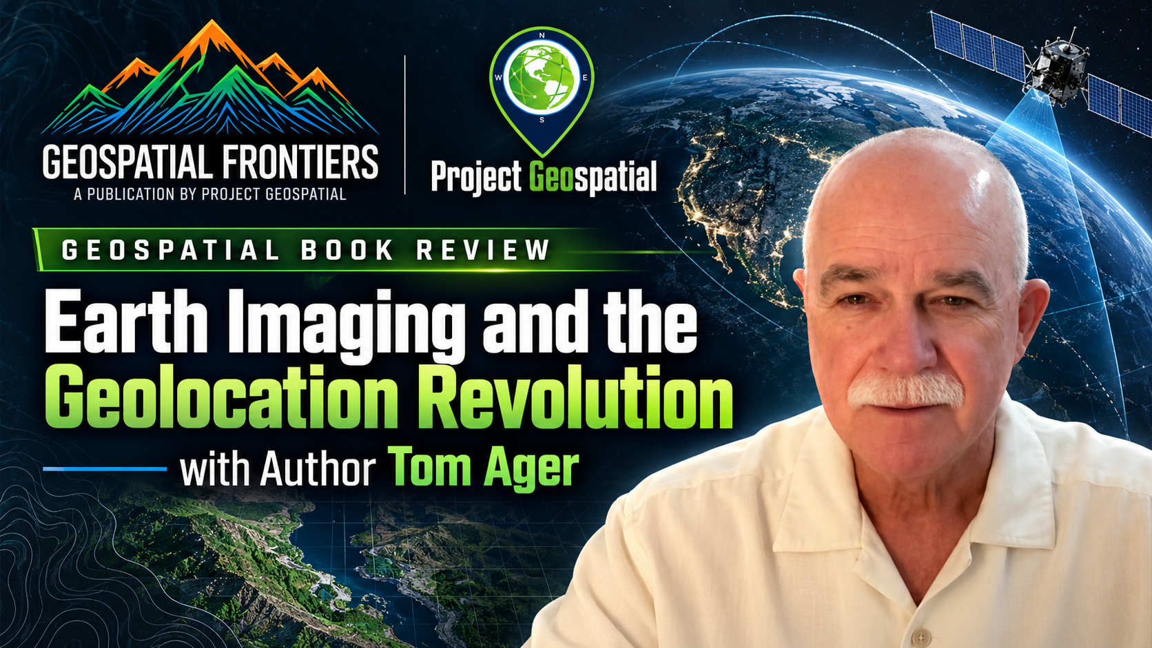
Book Review - Earth Imaging and the Geolocation Revolution
Veteran geodesist and author Thomas P. Ager joins hosts Adam Simmons and Daryl Murdock on Project Geospatial to demystify the complex science of geolocation and Synthetic Aperture Radar (SAR). Ager unpacks concepts from his latest book, Earth Imaging and the Geolocation Revolution, challenging the GEOINT community to stop treating satellite imagery as a "flat sheet of rubber". The episode tackles the hidden potential of SAR phase data, the mechanics of Rational Polynomial Coefficients (RPC) for rapid positioning, and the urgent need to overcome technical illiteracy with smarter, more accessible open-source tools. Tune in to discover how bridging the gap between advanced orbital data and user-friendly applications is actively transforming the future of spatial intelligence.


ASTERRA - Lithium Mineral Location Technology
Join us as we interview Asterra's CEO Elly Perets on their new patent on technology focused on locating lithium deposits with Synthetic Aperature Radar (SAR). Learn more about Asterra and some of the business around their unique algorithms. Tune in to find out more.





SAR 101 with Daniela Moody
In this session, URSA’s Daniela Moody gives an introduction to SAR concepts to help us understand the basics of why RADAR is not only an incredible sensor but one that is so different from electro-optical imagery.

Mauritius Oil Spill Insights
On July 25th the MV Wakashio bulk carrier went off course and grounded on a coral reef. Less than two weeks later the ship, carrying 4,000 tons of oil started leaking. Join URSA’s COO Julie Baker and Paul Frey in discussing how SAR imagery was used to monitor the crisis and how events unfolded surrounding the event.

