
WANT TO ADVERTISE ON PROJECT GEOSPATIAL?


INTERESTED IN BEING A GUEST ON OUR SHOW?
WE NOW HAVE T-SHIRTS, MUGS…AND SHOWER CURTAINS?





In this episode of Project Geospatial, host Adam Simmons sits down with Lucas Martinelli, co-founder of Reprompt AI, to talk about the power of generative AI in reshaping geospatial analysis. Lucas shares his journey from open-source mapping projects in Switzerland to reverse-engineering proprietary map APIs and eventually founding Reprompt AI.
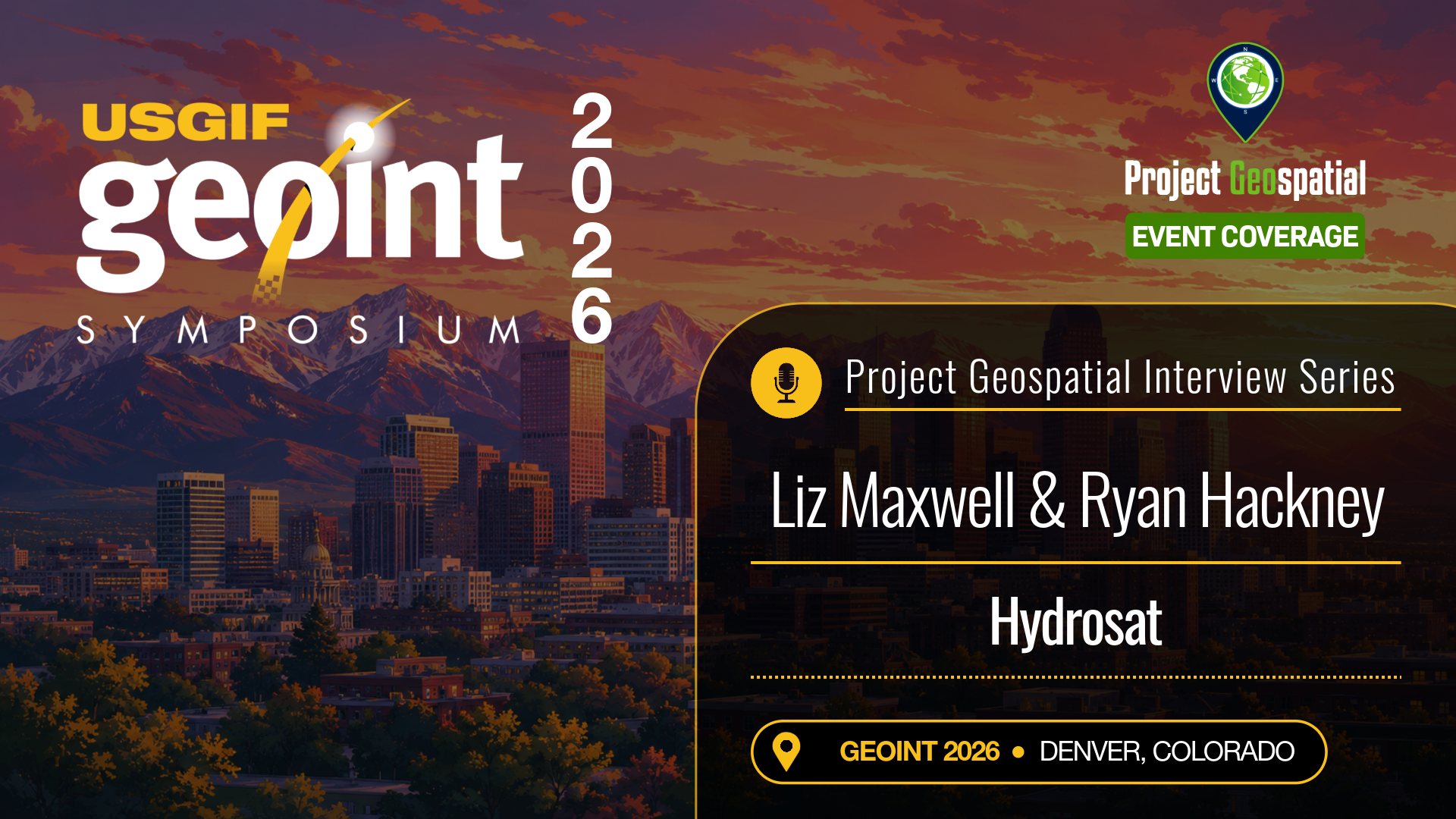
As tactical missions and commercial supply chains deal with escalating environmental volatility, the need for space-based temperature tracking has shifted from a scientific luxury to a national security necessity. At the GEOINT 2026 Symposium in Denver, Project Geospatial met with Liz Maxwell and Ryan Hackney of Hydrosat to discuss how their specialized satellite constellation is changing earth observation.
In this blog post, we look at the immense value of land surface temperature data. Liz and Ryan detail how Hydrosat’s expanding thermal infrared network bypasses traditional spatial limitations, offering the high-frequency revisit rates necessary to monitor real-time infrastructure changes, map micro-level soil moisture, and track fast-moving wildfires. Dive into the full conversation to explore how their proprietary software stack converts raw thermal metrics into clean, cloud-native layers that empower intelligence analysts and agricultural stakeholders to make rapid, high-consequence decisions.
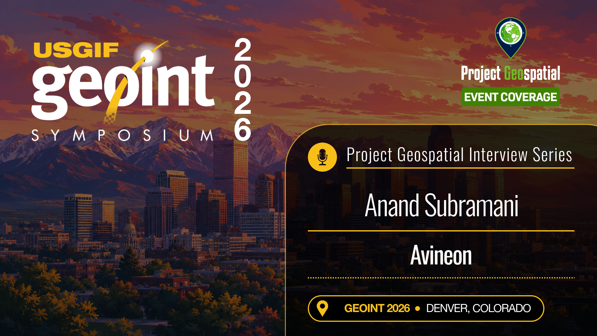
In the rush to adopt predictive analytics and real-time operational views, many organizations bypass the most critical step: ensuring the integrity of their baseline location intelligence. At the GEOINT 2026 Symposium in Denver, Project Geospatial sat down with Anand Subramani of Avineon to dissect why clean, modern data engineering is the real secret behind successful software deployments.
In this blog post, we look at Avineon's systematic approach to enterprise GIS modernization. Anand details the specialized workflows needed to automate data validation, purge inaccuracies from legacy maps, and seamlessly bridge the gap between architectural CAD files and downstream GIS environments. Explore the full conversation to see how stabilizing your foundational geospatial data ensures long-term scalability for utility grids, defense networks, and municipal digital twins.
For modern military and intelligence agencies, true digital transformation isn't just about adding new software features—it's about building a foundational infrastructure capable of processing planetary-scale data while resisting systemic threats. At the GEOINT 2026 Symposium in Denver, Project Geospatial caught up with Dr. Jessica Kalmanson of Peraton to dissect the future of high-consequence systems engineering.
In this blog post, we analyze how Peraton is tackling the extreme technical challenges of moving massive, multi-tiered intelligence archives into the secure enterprise cloud. Jessica outlines the systems architecture necessary to maintain robust satellite data networks, achieve clean data interoperability across historically siloed agencies, and bake security directly into the pipeline from day one. Dive into the conversation to discover how advanced R&D and resilient infrastructure engineering are reshaping edge deployment for the modern warfighter.
Whether managing commercial distribution fleets or complex government logistics, mission success hinges on routing data that matches reality in real time. At the GEOINT 2026 Symposium in Denver, Project Geospatial caught up with Cliff Allison of TomTom to explore how the mapping pioneer is redefining location intelligence.
In this blog post, we dive into how TomTom ingests and processes billions of daily data points to deliver ultra-low-latency traffic analytics. Cliff details how the company utilizes advanced machine learning pipelines to autonomously detect real-world infrastructure changes, instantly updating digital basemaps without manual intervention. Explore the conversation to learn how open-source data partnerships, smart mobility frameworks, and high-fidelity routing APIs are breaking down legacy mapping silos for defense and enterprise operators alike.
The path for commercial software entering the defense ecosystem is notoriously difficult, requiring a delicate balance of cutting-edge innovation and deep policy understanding. At the GEOINT 2026 Symposium in Denver, Project Geospatial caught up with Shelby Pierson of Invicta Analytics, LLC to talk about the evolution of modern threat monitoring.
In this blog post, we examine how Invicta Analytics is bridging the gap between Silicon Valley agility and traditional intelligence community architectures. Drawing from her extensive background in national security leadership, Shelby details how to move beyond simple geospatial data collection to engineer high-confidence analytic workflows. Explore the piece to discover how matching product roadmaps to tactical requirements ensures that small businesses can effectively weather acquisition hurdles and provide real-time decision superiority to the edge operator.
Proprietary software environments are no longer the default answer for modern mission management. As federal entities aggressively look to build agile, cloud-native frameworks, open-source geospatial technologies are taking center stage. At the GEOINT 2026 Symposium in Denver, Project Geospatial caught up with Ryan Burley and Simone Giannecchini of GeoSolutions to discuss the massive shift towards unclassified and open IT architectures.
In this blog post, we look at the engineering discipline required to back open-source web-mapping frameworks with true enterprise-grade reliability. Simone and Ryan break down how GeoSolutions maintains core upstream code repositories for world-class platforms like GeoServer, GeoNode, and MapStore. Explore how their customized deployment architectures allow defense networks to bypass restrictive vendor lock-in, streamline OGC-compliant data sharing across international coalitions, and easily scale high-frequency cloud pipelines without skyrocketing licensing fees.

Veteran geodesist and author Thomas P. Ager joins hosts Adam Simmons and Daryl Murdock on Project Geospatial to demystify the complex science of geolocation and Synthetic Aperture Radar (SAR). Ager unpacks concepts from his latest book, Earth Imaging and the Geolocation Revolution, challenging the GEOINT community to stop treating satellite imagery as a "flat sheet of rubber". The episode tackles the hidden potential of SAR phase data, the mechanics of Rational Polynomial Coefficients (RPC) for rapid positioning, and the urgent need to overcome technical illiteracy with smarter, more accessible open-source tools. Tune in to discover how bridging the gap between advanced orbital data and user-friendly applications is actively transforming the future of spatial intelligence.