


GEOSPATIAL FRONTIERS
A Publication by Project Geospatial
LOOKING BEYOND
THE MAP
Geospatial Frontiers, a new publication from Project Geospatial, brings together leading voices and experts from across the geospatial ecosystem to tackle the industry's most pressing challenges. Through in-depth articles and discussions, Geospatial Frontiers aims to explore innovative solutions and spark critical conversations that will shape the future of geospatial technology and its applications.
CONTRIBUTING AUTHORS

Adam Simmons

Keith Barber

Fred Woods

Matthew Husted

Chris Vaughan
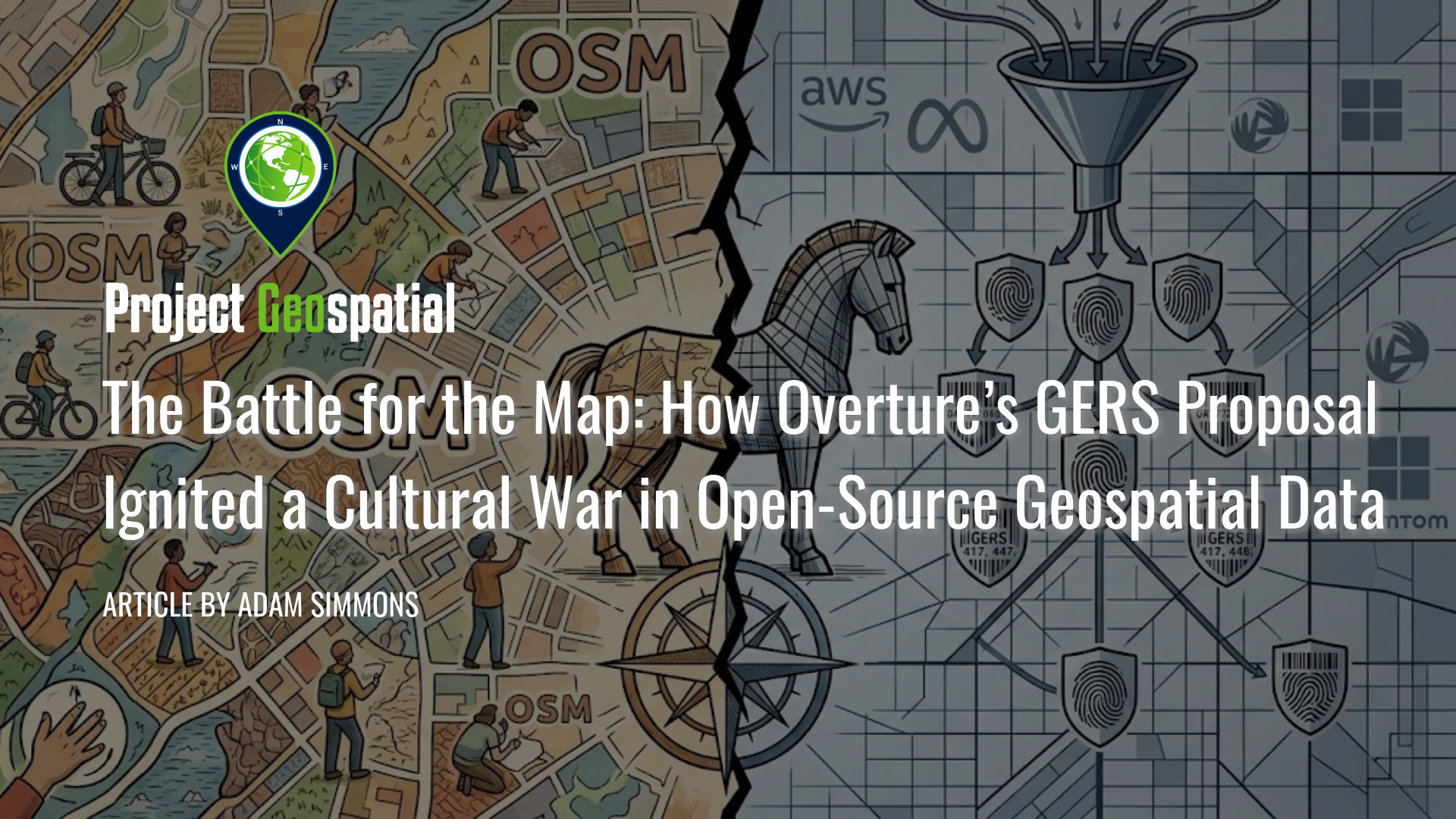
The Battle for the Map: How Overture’s GERS Proposal Ignited a Cultural War in Open-Source Geospatial Data
In early 2026, the geospatial industry reached a critical turning point as the Open Geospatial Consortium (OGC) considered adopting the Global Entity Reference System (GERS)—a framework backed by the Overture Maps Foundation (Amazon, Meta, Microsoft, and TomTom)—as an international community standard. Designed to eliminate the costly "conflation tax" by assigning persistent, unique identifiers to billions of real-world entities, GERS promises to revolutionize spatial data integration for enterprise and Spatial AI applications. However, the proposal has ignited a fierce rebellion within the OpenStreetMap (OSM) community, where critics warn of corporate enclosure, opaque governance, and a "pay-to-play" $300,000 membership model. While industry giants view GERS as a vital tool for digital twin interoperability, open-source advocates highlight technical failures—including a 20% ID churn rate—arguing that the system threatens to render decentralized, volunteer-driven mapping obsolete in the modern data economy.