


GEOSPATIAL FRONTIERS
A Publication by Project Geospatial
LOOKING BEYOND
THE MAP
Geospatial Frontiers, a new publication from Project Geospatial, brings together leading voices and experts from across the geospatial ecosystem to tackle the industry's most pressing challenges. Through in-depth articles and discussions, Geospatial Frontiers aims to explore innovative solutions and spark critical conversations that will shape the future of geospatial technology and its applications.
Contributing Authors






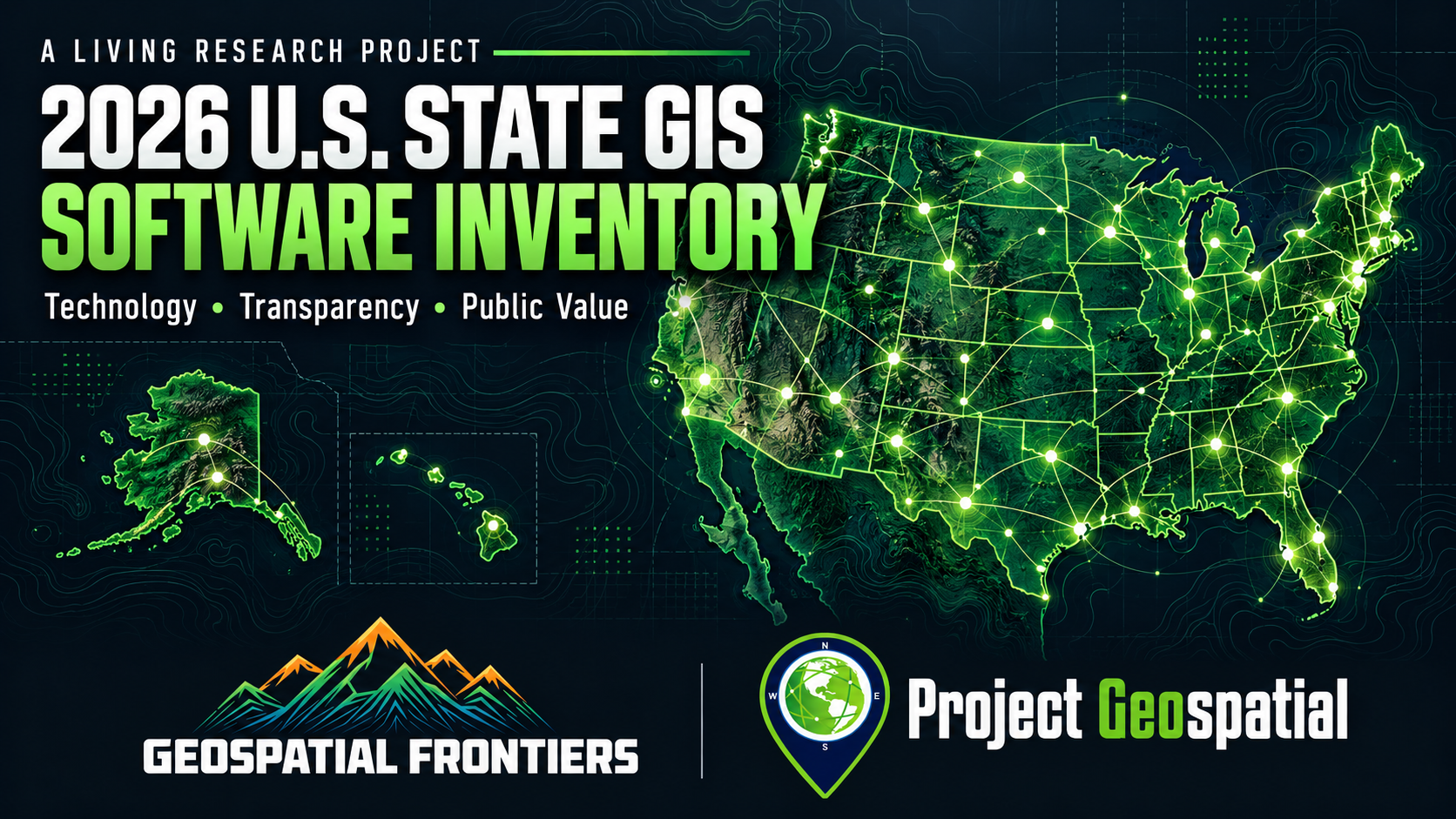
2026 U.S. State GIS Software Inventory
What software powers America’s state geospatial infrastructure, and what can the public verify about its cost and value? The 2026 U.S. State GIS Software Inventory from Geospatial Frontiers and Project Geospatial examines documented Esri, open-source, and other GIS technologies across all 50 states. Explore the inventory, comparison graphics, and analysis of procurement, platform choices, and transparency. Released as a living research project, this report will evolve with new evidence and contributions from state GIS offices, helping build a clearer picture of the technology behind public geographic information.