

GEOSPATIAL FRONTIERS
A Publication by Project Geospatial
LOOKING BEYOND
THE MAP
Geospatial Frontiers, a new publication from Project Geospatial, brings together leading voices and experts from across the geospatial ecosystem to tackle the industry's most pressing challenges. Through in-depth articles and discussions, Geospatial Frontiers aims to explore innovative solutions and spark critical conversations that will shape the future of geospatial technology and its applications.
Contributing Authors






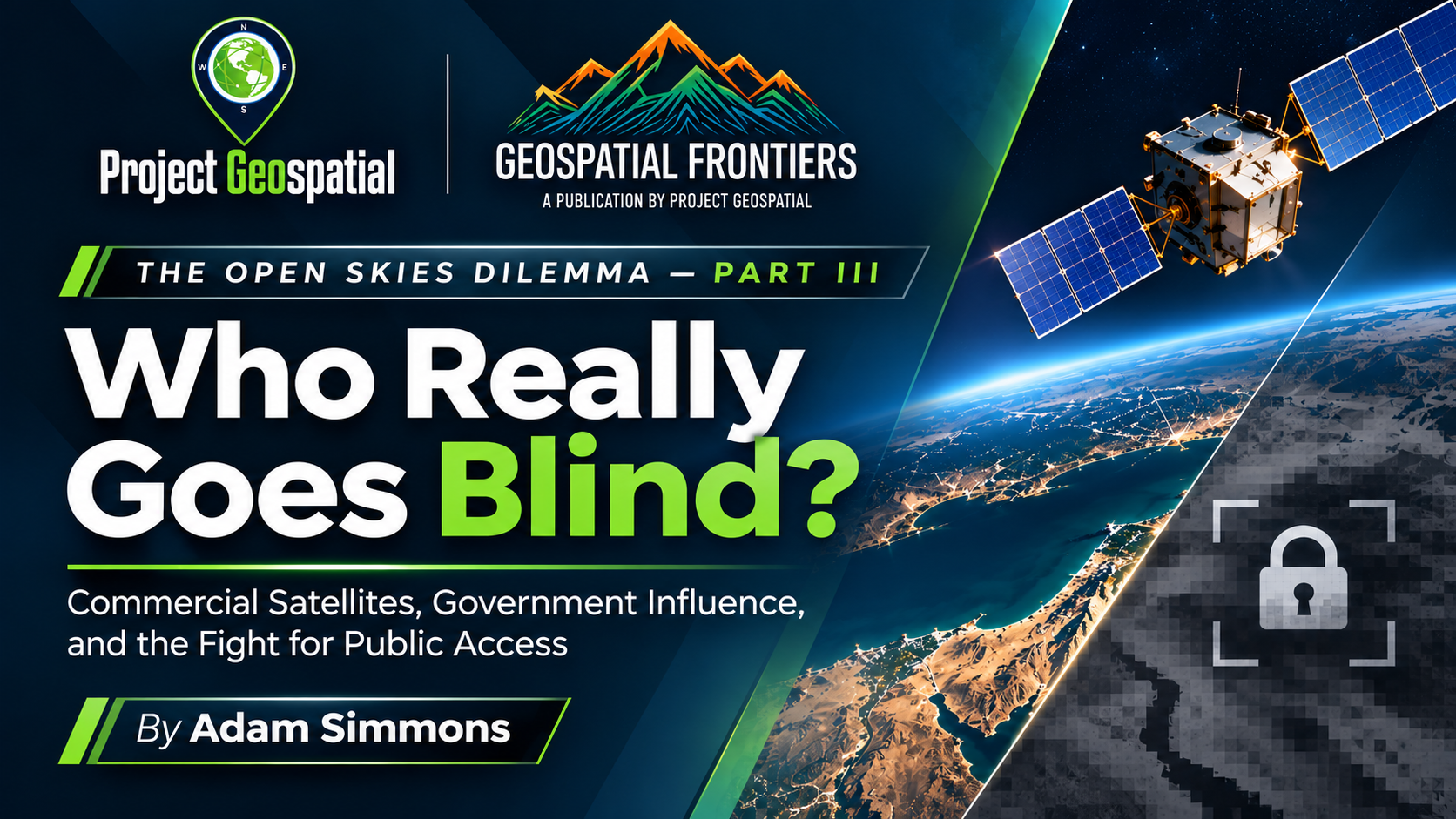
The Open Skies Dilemma, Part III: Who Really Goes Blind When America Restricts Satellite Imagery?
As governments seek to restrict access to commercial satellite imagery in the name of national security, a larger question emerges: Who really loses the ability to see? In The Open Skies Dilemma, Part III, Project Geospatial examines the 2026 Middle East satellite imagery restrictions, the growing influence of U.S. intelligence agencies over commercial Earth observation, and the consequences for press freedom, humanitarian investigations, and public accountability. Inspired by renewed attention from The New York Times and Common Space, this investigation explores the First Amendment implications of restricting privately collected information, the expanding capabilities of international satellite providers beyond U.S. jurisdiction, and the economic risks facing American companies. As Earth observation becomes an increasingly important instrument of independent government oversight, the article challenges policymakers to reconsider how national security, commercial independence, and the public's right to information can coexist.

Google Earth: The World We Were Given, the World We Are Losing, and the One We Could Still Build
With Google announcing the end of new Google Earth Pro desktop downloads in June 2027, the geospatial industry faces a larger question: What happens to the powerful, accessible workflows that made Google Earth revolutionary? From its Keyhole origins and disruptive influence on traditional GIS and military intelligence to the rise of KML, KMZ, network links, and the eventual loss of Google Fusion Tables, Google Earth transformed how people visualize, analyze, and share geographic information. This Geospatial Frontiers feature examines what Google continues to get right, what risks being lost in the shift from desktop to browser, and why platforms such as Cesium, GeoLibre, and RustGIS have yet to fully serve the overlooked middle market between casual map users and GIS professionals. As AI, cloud computing, and open geospatial technologies advance, could the next generation finally deliver the intuitive, data-driven spatial intelligence workspace Google Earth always had the potential to become?

The Commercial GEOINT Acquisition Gap
As the U.S. government deepens its reliance on commercial satellite imagery, growing tensions between federal GEOINT procurement, national security priorities, and commercial independence are raising important questions about the industry's future. Congressional scrutiny of the National Reconnaissance Office (NRO) and National Geospatial-Intelligence Agency (NGA) reveals persistent challenges involving acquisition flexibility, funding, interagency coordination, and access to commercial geospatial intelligence. Project Geospatial examines the evolution of government satellite imagery contracts, the emerging commercial GEOINT marketplace, and the double-edged sword of federal investment: an industry empowered by government demand yet increasingly shaped by government control. As new satellite technologies transform Earth observation, can Washington's acquisition system keep pace while preserving innovation, competition, and commercial autonomy?