

GEOSPATIAL FRONTIERS
A Publication by Project Geospatial
LOOKING BEYOND
THE MAP
Geospatial Frontiers, a new publication from Project Geospatial, brings together leading voices and experts from across the geospatial ecosystem to tackle the industry's most pressing challenges. Through in-depth articles and discussions, Geospatial Frontiers aims to explore innovative solutions and spark critical conversations that will shape the future of geospatial technology and its applications.
Contributing Authors






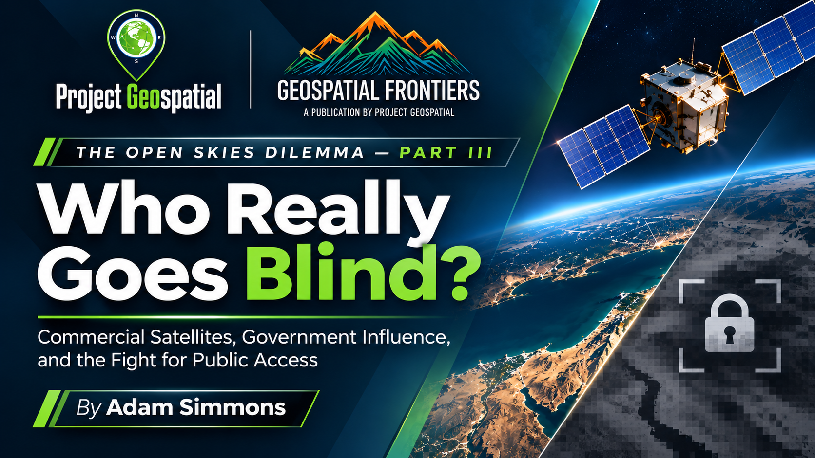
The Open Skies Dilemma, Part III: Who Really Goes Blind When America Restricts Satellite Imagery?
As governments seek to restrict access to commercial satellite imagery in the name of national security, a larger question emerges: Who really loses the ability to see? In The Open Skies Dilemma, Part III, Project Geospatial examines the 2026 Middle East satellite imagery restrictions, the growing influence of U.S. intelligence agencies over commercial Earth observation, and the consequences for press freedom, humanitarian investigations, and public accountability. Inspired by renewed attention from The New York Times and Common Space, this investigation explores the First Amendment implications of restricting privately collected information, the expanding capabilities of international satellite providers beyond U.S. jurisdiction, and the economic risks facing American companies. As Earth observation becomes an increasingly important instrument of independent government oversight, the article challenges policymakers to reconsider how national security, commercial independence, and the public's right to information can coexist.